Kosmadei - Zastano (Samos) (no. 11 / 10)
Starting point: Kosmadei (575 m)
| Latitude/Longitude: | 37,76104°N 26,66120°E |
| |
Route name: no. 11 / 10
Walking time: 3 h 10 min
Difficulty: easy marked way
Elevation gain: 631 m
Elevation difference along the route: 840 m
Map: 331 Samos
Recommended equipment (summer):
Recommended equipment (winter):
Views: 134
 | 1 person like this post |
Access to starting point:
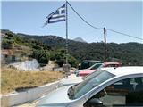
The starting point is on the Greek island of Samos in the village of Kosmadei (also Kosmadaioi, gr. Κοσμαδαίοι). Winding, but paved roads lead to this point. The traffic noticeably slows down only through villages along the way, such as Lekka and Nikolaudes (it is 12 km from Karlovassi to the starting point).
On the road near the destination, in the middle of a dense forest completely alone, graffiti nicely greets the visitor with "Welcome to Samos".
The paved road ends at the top of the village at a scenic location where there is a parking lot. From there, only a rough gravel road continues, which is suitable for driving only with off-road vehicles (the first slope of this mountain road has a concrete base due to its incline, but later it does not; some people still drive over this slope and then a short descent with a regular car).
Route description:
Recommended items: a wide-brimmed hat, sunscreen, long pants (due to thorny vegetation), and plenty of water.
From the village of Kosmadei, it is 4.2 km or 1 hour and 15 minutes of walking to the Panagia Chatzimanolisa Monastery (dedicated to Zoodochos Pigi) in the Kakoperato area at 580 meters above sea level. There is a cave with a chapel nearby. The road has some branches that are distinguished from the correct path by being in poorer condition, but they can be more misleading on the way back. One of these branches is marked for Iera Moni (gr.: Ιερά Μονή) and the road leads downwards to the monastery. The road is very remote with zero to very scarce traffic (only one car in 3 hours on the day of the visit), and on the mountain there are no visitors for several days at a time (source: logbook).
The path begins below the monastery, which is not visible from the upper road. Numerous cairns and red dots indicate the path on the terrain. The steep path leads into a ravine between slopes with a shady grove. Caution is needed here, as the correct path branches off to the right and climbs steeply towards Mount Zestani (numerous trails also lead straight ahead and can mislead hikers).
The path leads to the ridge and along it to the top of Mount Zestani at 1206 m above sea level. Under the ridge towards the northeast a huge canyon is visible.
The mountain offers beautiful views towards the northern coast of the island, the canyon to the northeast, and the lovely mountainous surroundings to the south, through which the sea to the south can also be seen in places.
It is possible to continue the hike along the ridge to the highest mountain of the island (+1h 15 min).
This path description and photos are from June 2024 (it was 27° C back at the starting point at 3 pm).

Along the route: Panagia Chatzimanolisa (Zoodochou Pigi) (575m)
Photos:
 1
1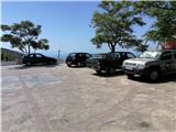 2
2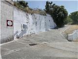 3
3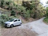 4
4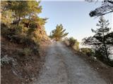 5
5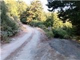 6
6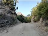 7
7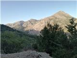 8
8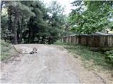 9
9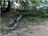 10
10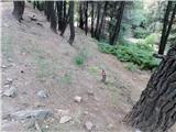 11
11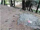 12
12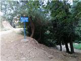 13
13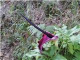 14
14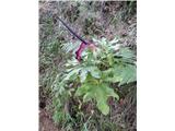 15
15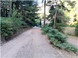 16
16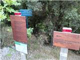 17
17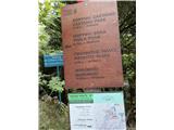 18
18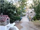 19
19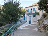 20
20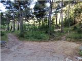 21
21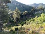 22
22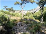 23
23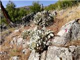 24
24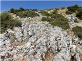 25
25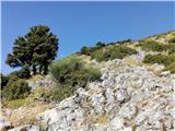 26
26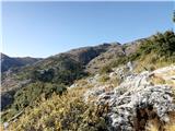 27
27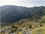 28
28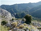 29
29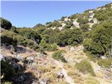 30
30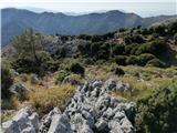 31
31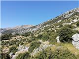 32
32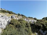 33
33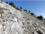 34
34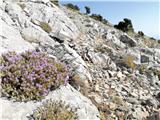 35
35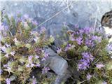 36
36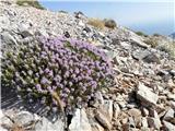 37
37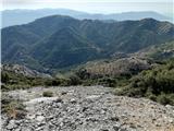 38
38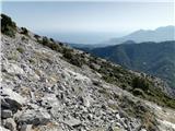 39
39 40
40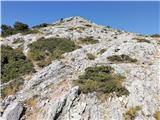 41
41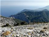 42
42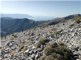 43
43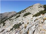 44
44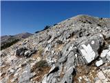 45
45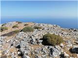 46
46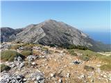 47
47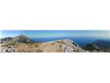 48
48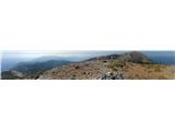 49
49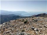 50
50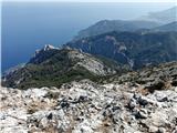 51
51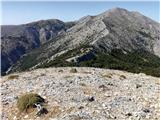 52
52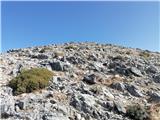 53
53
Discussion about the trip Kosmadei - Zastano (Samos) (no. 11 / 10)
To post a comment you must log in:
If you do not yet have a username, you must first
register.