Starting point: Kötcse (150 m)
| Latitude/Longitude: | 46,75191°N 17,86000°E |
| |
Walking time: 1 h 15 min
Difficulty: easy unmarked way
Elevation gain: 167 m
Elevation difference along the route: 175 m
Map:
Recommended equipment (summer):
Recommended equipment (winter):
Views: 90
 | 1 person like this post |
Access to starting point:
Leave the Tornyszentmiklos-Budapest motorway at the Balatonöszöd, Szólád exit. After the exit, drive towards Szólád and further to the village of Kötcse. Drive into the center of the village, where there are a few parking spaces.
Route description:
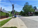
From the main square in the village of Kötcse (pronunciation K che) we head east along Vásártéri út street, where we ascend gently to moderately. Higher up we arrive at the bus turning point in the upper part of the village, from where we continue along the cart track guided by the signs.
The cart track begins to climb steeply and after a few minutes of steep ascent we reach a junction. From the junction we go left; our path makes a long left bend, transitioning from east to north, and levels out after the bend.
The cart track then leads us between vineyards on the left and forest on the right.
About 20 minutes further we reach a large geodetic tower, from which a nice view opens (in the first half of 2024 the tower was in very poor condition, climbing the tower is at your own risk).
From the tower a few more minutes of walking follow, and we reach a junction where our path goes right to the east.
A slight descent follows, ending at the next junction where the signs are quite illogically placed and can be overlooked. The path turns north again here and takes us to a small shelter, behind which signs in the form of a red line begin.
Another ten minutes or so of walking follow, and just below the summit we arrive at a fenced clearing with a nice view of Lake Balaton. From there only a short walk remains to the summit of Almán-tető. The summit is in the forest and has no view. For a nice view, continue another few tens of minutes north to the lookout tower.

Along the route: Geodetski stolp (303m)
Photos:
 1
1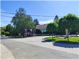 2
2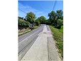 3
3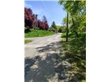 4
4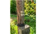 5
5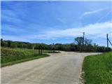 6
6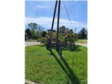 7
7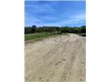 8
8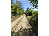 9
9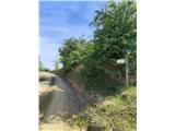 10
10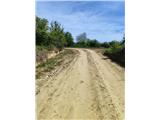 11
11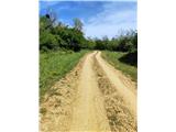 12
12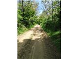 13
13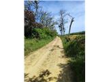 14
14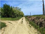 15
15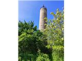 16
16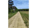 17
17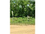 18
18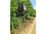 19
19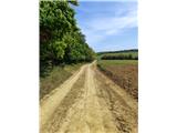 20
20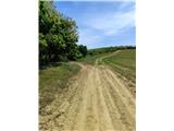 21
21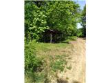 22
22 23
23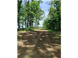 24
24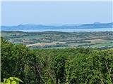 25
25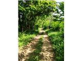 26
26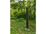 27
27 28
28
Discussion about the trip Kötcse - Almán-Tető
To post a comment you must log in:
If you do not yet have a username, you must first
register.