Kozarnice - Iztokova koča pod Golaki
Starting point: Kozarnice (1068 m)
| Latitude/Longitude: | 45,96940°N 13,85820°E |
| |
Walking time: 25 min
Difficulty: easy marked way
Elevation gain: 192 m
Elevation difference along the route: 192 m
Map: Goriška 1:50.000
Recommended equipment (summer):
Recommended equipment (winter):
Views: 8.024
 | 1 person like this post |
Access to starting point:
A) From central Slovenia we first drive to Logatec, then continue driving in the direction of Idrija. At Kalce near Logatec we turn left in the direction of Col, then continue driving on a winding road towards Col. At Col we turn right and then after 100 m left in the direction of Predmeja. Further we drive on an occasionally somewhat narrower and also partly still winding road to Predmeja. At the end of Predmeja we turn right towards Lokve (left downhill Ajdovščina), we follow the main road for less than 2 km, or to the signpost for Golaki, which directs us right onto the forest road. Initially still asphalted, the road soon becomes macadam, at the first intersection we follow straight ahead, at the second to the right, and then we drive approximately 100 m to the parking lot at the end of the drivable road.
B) From the expressway Razdrto - Nova Gorica we head to the exit Ajdovščina and continue following the road towards the village Lokavec (to Lokavec we come from the center of Ajdovščina, or from the old road Ajdovščina - Nova Gorica, where at the settlement Cesta we turn right). From Lokavec we continue driving on the ascending winding road in the direction of Predmeja. When the road flattens somewhat, we reach an intersection where the road from Col joins from the right, we continue straight and follow the main road for less than 2 km, or to the signpost for Golaki, which directs us right onto the forest road. Initially still asphalted, the road soon becomes macadam, at the first intersection we follow straight ahead, at the second to the right, and then we drive approximately 100 m to the parking lot at the end of the drivable road.
Route description:
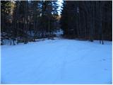
From the parking lot we continue on a wider cart track which starts to ascend more steeply through the forest. The forest soon thins out, and along the path we notice a spruce of unusual shape, which quite resembles the so-called columnar spruce. We continue on the further relatively gentle cart track, which a few minutes higher joins the macadam road, which we follow to the right. Along the road we walk to the first intersection, from where we continue straight on the marked footpath, along which in 5 minutes of further walking we arrive at the Iztokova koča pod Golaki hut.
Photos:
 1
1 2
2 3
3 4
4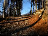 5
5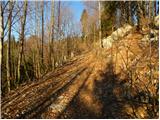 6
6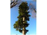 7
7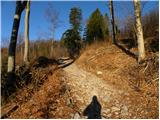 8
8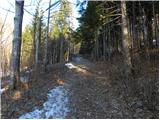 9
9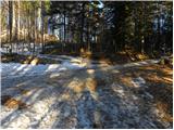 10
10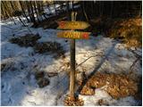 11
11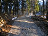 12
12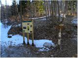 13
13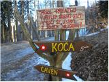 14
14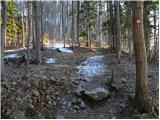 15
15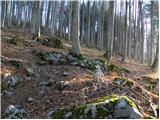 16
16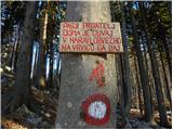 17
17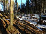 18
18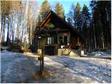 19
19
Discussion about the trip Kozarnice - Iztokova koča pod Golaki
To post a comment you must log in:
If you do not yet have a username, you must first
register.