Starting point: Kozji hrbet (1290 m)
| Latitude/Longitude: | 46,25030°N 13,98720°E |
| |
Walking time: 50 min
Difficulty: easy unmarked way
Elevation gain: 284 m
Elevation difference along the route: 284 m
Map: Škofjeloško in Cerkljansko hribovje 1:50.000
Recommended equipment (summer):
Recommended equipment (winter): ice axe, crampons
Views: 5.951
 | 2 people like this post |
Access to starting point:
A) From Železniki or Podbrdo we drive to Soriška planina and continue driving towards Bohinjska Bistrica. After approximately 400 meters of descent a macadam road branches off sharply to the left, which we then follow for approximately 2 km to a slight right turn, where there is a smaller parking lot.
B) From Bohinjska Bistrica we drive towards Soriška planina. Just about 400 meters before the parking lot on Soriška planina a forest road branches off to the right. Then we follow the description above.
Route description:
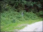
At the turn, we look for a footpath which in a moderate ascent through the forest in 15 minutes brings us to the mountain pasture Planina za Šavnikom.
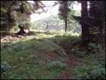
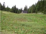
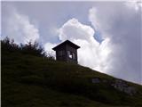
Ahead we cross the mountain pasture and the path leads us into a short stretch of forest. A little higher, the path brings us to wide grassy slopes between Šavnik on the right and Možic on the left. And only a little further ahead of us, we notice a hunting observatory, near which is a junction.
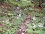
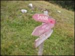
Signpost for Šavnik directs us sharply right (sharply left Možic) onto the path which goes into a stretch of forest and ascends somewhat more steeply. When we come out of the forest, there follows a shorter ascent along a wide and increasingly panoramic ridge, which we follow to the top.
Photos:
 1
 2
 3
 4
 5
 6
 7
 8
 9
 10
 11
 12
 13
 14
 15
 16
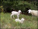 17
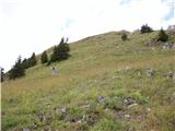 18
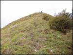 19
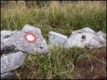 20
 21
Discussion about the trip Kozji hrbet - Šavnik
|
| ločanka11. 10. 2026 19:38:09 |
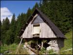
The little house in picture no.5 no longer stands, the hunting hut in picture no.14 has been completely renovated. It is narrower and in green color. A narrow path also leads to it. From there a nice view towards Šavnik. The path is quite short though, but welcome on shorter days. With the descent towards Vrh Bače and return via the forest road to the car, it offers a very pleasant circular tour.
|
|
|
To post a comment you must log in:
If you do not yet have a username, you must first
register.