Kraljev hrib - Planina Rzenik
Starting point: Kraljev hrib (540 m)
| Latitude/Longitude: | 46,30610°N 14,60880°E |
| |
Walking time: 3 h
Difficulty: easy marked way
Elevation gain: 1114 m
Elevation difference along the route: 1114 m
Map: Kamniške in Savinjske Alpe 1:50.000
Recommended equipment (summer):
Recommended equipment (winter): ice axe, crampons
Views: 6.895
 | 1 person like this post |
Access to starting point:
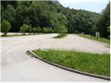
First, we drive to Kamnik, and then we continue driving in the direction of Kamniška Bistrica and the cableway to Velika planina. In Stahovica we continue left (direction Kamniška Bistrica and cableway Velika planina) and follow the moderately ascending road to a large parking lot near the lower cableway station to Velika planina (parking lot is located on the right side of the road).
Route description:
From the parking lot, we continue on the road in the direction of the mountain pasture Planina Dol and Velika planina. After approximately 100 meters of walking on the road, just before the first right turn, we will notice on the left side at first a wide footpath which ascends into the forest (turn-off isn't marked). We continue on the mentioned path, which soon crosses a lane of bushes and immediately after that brings us to a crossing, where we continue on the right path. Further, we ascend on a footpath which after a short ascent brings us to a forest road, which we follow to the left (unmarked).
After a minute or two of walking on the road, we come to a marked crossing, where we continue right on a marked footpath. The path ahead at first gently ascends among wild garlic growth, and then it starts to ascend steeper and steeper. A relatively steep path, which all the time runs through the forest, brings us higher to a short part that is exposed to falling stones. Further, the path ascends even steeper, and then turns to the left, where the steepness decreases. Next follows only a few minutes of easy walking and the path brings us to a forest road which we follow to the right. The road, which immediately passes out of the forest on the western edge of the mountain pasture Dol, we follow approximately 5 minutes to a marked crossing, where we continue left in the direction of Konj (right Velika planina).
The path ahead moderately ascends through a meadow, and then passes into the forest, where it turns to the right and gradually starts to ascend steeper and steeper. Next follows approximately 20 minutes of steep ascent through the forest, and then the path brings us to a smaller viewpoint. Here the path turns left and also flattens a little. We continue on a moderately steep path, where from increasingly sparse forest we soon pass into a belt of dwarf pines. A short ascent follows on a well-beaten path through dwarf pines and the path brings us to mountain pasture Rzenik, on the edge of which we notice a shepherd's hut.

Photos:
 1
1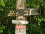 2
2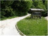 3
3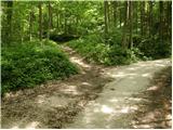 4
4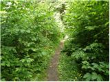 5
5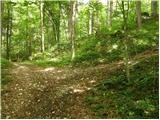 6
6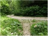 7
7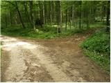 8
8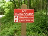 9
9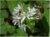 10
10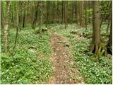 11
11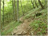 12
12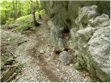 13
13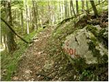 14
14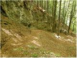 15
15 16
16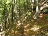 17
17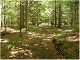 18
18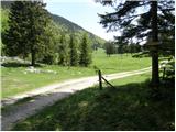 19
19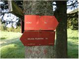 20
20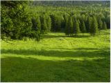 21
21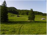 22
22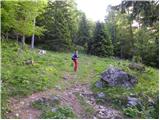 23
23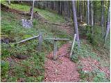 24
24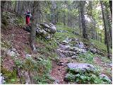 25
25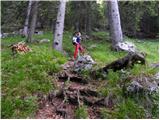 26
26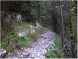 27
27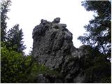 28
28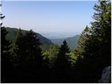 29
29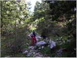 30
30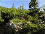 31
31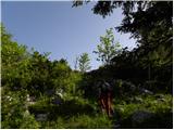 32
32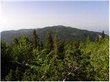 33
33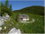 34
34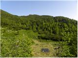 35
35 36
36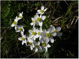 37
37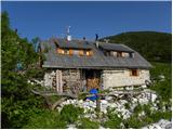 38
38
Discussion about the trip Kraljev hrib - Planina Rzenik
To post a comment you must log in:
If you do not yet have a username, you must first
register.