Kranj (Kalvarija) - Šmarjetna gora (partly on footpath)
Starting point: Kranj (Kalvarija) (390 m)
| Latitude/Longitude: | 46,23990°N 14,34640°E |
| |
Route name: partly on footpath
Walking time: 40 min
Difficulty: easy unmarked way
Elevation gain: 256 m
Elevation difference along the route: 256 m
Map: Škofjeloško in Cerkljansko hribovje 1:50.000
Recommended equipment (summer):
Recommended equipment (winter):
Views: 3.850
 | 2 people like this post |
Access to starting point:
a) From Medvode or Škofja Loka, we take the old road to Kranj, then descend the slope to the roundabout, where the main road continues with the first exit to the right and then across the bridge over the Sava, but we continue to the second exit towards Besnica and Šmarjetna gora. This is followed by driving through the underpass and a sharp right turn, then at the nearby intersection we continue sharply left towards Šmarjetna gora. The road then ascends more steeply, after which at the next intersection we continue right, again towards Šmarjetna gora, and then park at a suitable spot along the road.
b) From the Ljubljana - Jesenice motorway, we take the Kranj - east exit, then at all subsequent intersections continue driving towards Škofja Loka. As we approach the underpass where the road towards Škofja Loka goes under the old Ljubljana - Kranj road, we continue right towards Jesenice and Kranj and then after a short ascent join the mentioned old road, along which we continue towards Jesenice, then descend the slope to the roundabout, where the main road continues with the first exit to the right and then across the bridge over the Sava, but we continue to the second exit towards Besnica and Šmarjetna gora. This is followed by driving through the underpass and a sharp right turn, then at the nearby intersection we continue sharply left towards Šmarjetna gora. The road then ascends more steeply, after which at the next intersection we continue right, again towards Šmarjetna gora, and then park at a suitable spot along the road.
c) From the Jesenice - Ljubljana motorway, we head to the Kranj - west exit, then continue driving towards Kranj and further towards Škofja Loka and Ljubljana. After the bridge over the Sava river, at the roundabout we continue with the first exit to the right towards Besnica and Šmarjetna gora. This is followed by driving through the underpass and a sharp right turn, then at the nearby intersection we continue sharply left towards Šmarjetna gora. The road then ascends more steeply, after which at the next intersection we continue right, again towards Šmarjetna gora, and then park at a suitable spot along the road.
Route description:
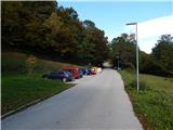
From the starting point we continue along the asphalt road, which begins to ascend the slope called Kalvarija. The asphalt road, which makes a few serpentines and from which we occasionally get some views towards Kranj and the Alps, takes us higher below a small pass where the path splits.
We continue left uphill onto a cart track, which after a few dozen steps brings us to a junction where the path from Stražišče joins from the left, but we continue right, along the path that continues parallel to the asphalt road. A little further on we return to the road for a few steps, then continue left uphill onto a gravel road, along which we ascend moderately in the continuation. Higher up the path takes us out of the forest, where we bypass the farm building on the lower side, then soon reach the asphalt road, along which we ascend with beautiful views to the top of Šmarjetna gora, where the church of St. Margaret and the Bellevue hotel stand.
The description and pictures refer to the situation in 2016 (October).

Photos:
 1
1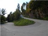 2
2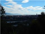 3
3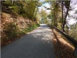 4
4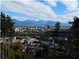 5
5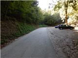 6
6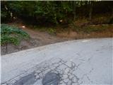 7
7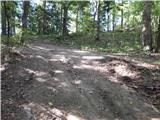 8
8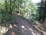 9
9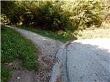 10
10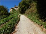 11
11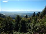 12
12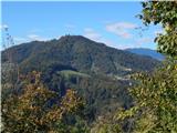 13
13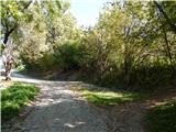 14
14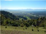 15
15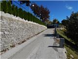 16
16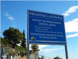 17
17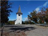 18
18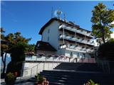 19
19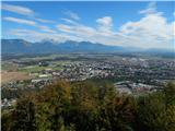 20
20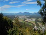 21
21
Discussion about the trip Kranj (Kalvarija) - Šmarjetna gora (partly on footpath)
To post a comment you must log in:
If you do not yet have a username, you must first
register.