Kranjski Rak - Gradišče (Velika planina) (footpath)
Starting point: Kranjski Rak (1029 m)
| Latitude/Longitude: | 46,28300°N 14,68840°E |
| |
Route name: footpath
Walking time: 2 h 10 min
Difficulty: easy marked way
Elevation gain: 637 m
Elevation difference along the route: 660 m
Map: Kamniške in Savinjske Alpe 1:50.000
Recommended equipment (summer):
Recommended equipment (winter): ice axe, crampons
Views: 117.053
 | 2 people like this post |
Access to starting point:
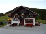
A) First, we drive to Kamnik, and then continue driving in the direction of the Črnivec pass. Just a few hundred meters before the mentioned pass we notice signs for Kranjski Rak, which direct us sharply left onto a narrow and initially quite steep road. The road flattens out higher up and then takes us to the Volovljek pass, where near the Kranjski Rak inn we also park (parking in front of the inn is permitted only for guests).
B) From Gornji Grad we drive towards Kamnik, then just a few hundred meters after the Črnivec pass we continue right in the direction of Kranjski Rak. Further, we follow the above description.
C) From the Savinjska valley we first drive to Luč, then continue driving towards Kamnik. When we arrive at the Volovljek pass we park at a suitable spot near the Kranjski Rak inn (parking in front of the inn is permitted only for guests).
Route description:
From the Volovljek pass we continue westwards along a macadam road in the direction of Velika planina, Jarški dom, Črnuški dom, Domžalski dom and Dom na Kisovcu. The road first leads along the pasture, then enters the forest, where a marked footpath branches off to the left. We continue on the mentioned path, which first ascends somewhat more steeply through the forest, then joins a cart track, where the path flattens. We walk for a few minutes along the cart track, then along a pleasant forest path, which higher descends to a macadam road. We reach the road right at the junction, where to the left the road continues towards Dom na Kisovcu, straight ahead after a few tens of meters we arrive at the large Rakove ravni parking lot (the road continues ahead towards Marjanine njive, Ušivec parking lot, Dol mountain pasture...), to the right the road leads back towards the Volovljek pass.
We continue the path by crossing the road leading towards Kisovec and then walking parallel to the road leading to the large parking lot and further towards Marjanine njive. For a short time we walk along the edge of the meadow, then the path enters the forest, where gradually the trail becomes more visible and the markings reappear (the section of the path from crossing the road to the forest is poorly marked or not at all). After a few minutes of walking through the forest we arrive at the spot where we cross the electric shepherd, behind it we step onto a dead-end branch of the road leading to the nearby cottage or two. When the road ends the path returns to the forest, which then begins to ascend more steeply. Higher we reach the cart track leading from Marjanine njive towards Gojška planina, which we follow to the left and walk along it to the watering place for animals on Gojška planina.
We bypass the watering place on the left side, then go slightly left (right upper part of Gojška planina) along an ascending footpath. The pleasant and increasingly scenic path ascends across the extensive grazing area, then crosses one of the macadam roads. On the other side of the road the path gradually ascends moderately, then approaches the road leading towards Jarški dom and Domžalski dom. Before stepping onto the road we continue left, then after a few tens of steps of further walking we arrive at Jarški dom.
We bypass the mentioned hut on the left side, then continue the ascent along a wide path that gently ascends through sparse forest. Already after a few minutes a path to Črnuški dom branches off to the left, we continue straight and follow the wide path all the way to Domžalski dom on Mali planina.
The path then descends into a small valley, where we step again onto a wide path (almost a road). We continue right and follow the path to a poorly marked path junction, where the path towards the Gradiščkovih shepherd settlement branches off to the left. After a short ascent the path takes us to the mentioned settlement, from which we continue along a poorly visible but marked path. The path further leads past numerous benches, moderately upwards along the bare slope. Soon it takes us between two peaks, where we continue slightly right. In the middle of the ascent we notice the 'chairlift' sign to the right (left, in the direction of our ascent the shepherd settlement). We continue in the direction of the chairlift along the path that quickly takes us to the summit slope of Velika planina. Here we continue right along the marked path, which after a few ascent steps takes us to Gradišče.

Photos:
 1
1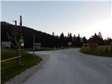 2
2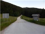 3
3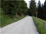 4
4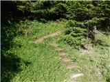 5
5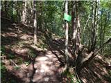 6
6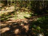 7
7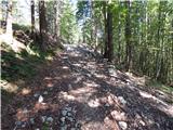 8
8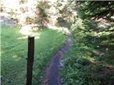 9
9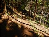 10
10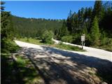 11
11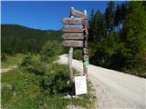 12
12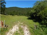 13
13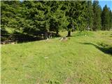 14
14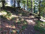 15
15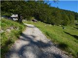 16
16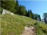 17
17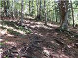 18
18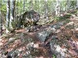 19
19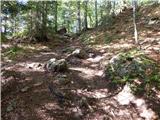 20
20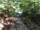 21
21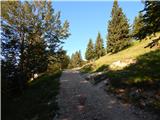 22
22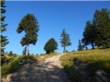 23
23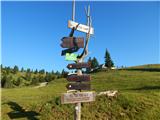 24
24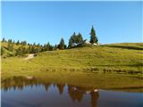 25
25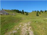 26
26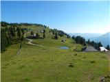 27
27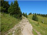 28
28 29
29 30
30 31
31 32
32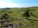 33
33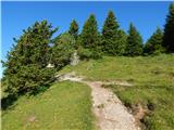 34
34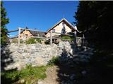 35
35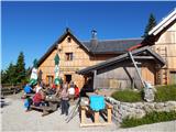 36
36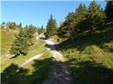 37
37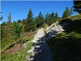 38
38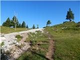 39
39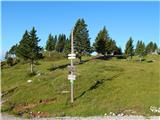 40
40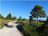 41
41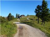 42
42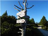 43
43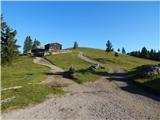 44
44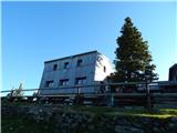 45
45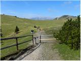 46
46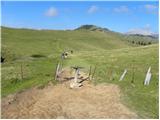 47
47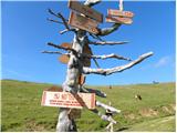 48
48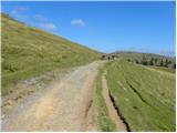 49
49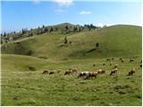 50
50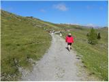 51
51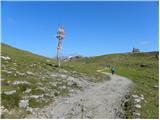 52
52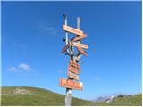 53
53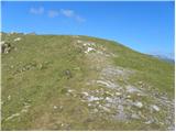 54
54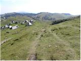 55
55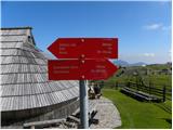 56
56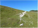 57
57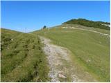 58
58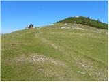 59
59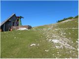 60
60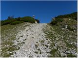 61
61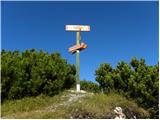 62
62 63
63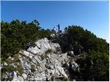 64
64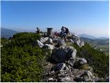 65
65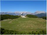 66
66
Discussion about the trip Kranjski Rak - Gradišče (Velika planina) (footpath)
|
| Zemlja30. 03. 2020 |
Just a tip for those who don't know the way to the starting point - through Kamnik follow the signs for Velika planina, which will take you to Kranjski Rak. Google maps can indeed mislead you (it won't take you right under Črnivec pass). 
|
|
|
|
| Enka30. 03. 2020 |
Hm, how do those signs for Velika planina take you to Kranjski Rak? That's only true up to Stahovica (through Kamnik there really are no signs for Črnivec and the VP direction is correct), from there on that direction won't be right anymore . Google maps goes just fine, you just have to turn before Črnivec, which is nicely written in the description. In short, the description of the way to the starting point is completely correct.
|
|
|
|
| Stamp24. 10. 2021 14:29:49 |
Rounded version, from Raka to Gojška, then to Dovje plain, to Velika and finally to Mala:
Track here
14km, easy, 6h gross..
|
|
|
|
| krempač10. 03. 2025 15:55:36 |
Good day,
how far towards the starting point Kranjski Rak is it possible with the tourist bus? Of course in dry conditions, we plan the hike end of May. Thanks in advance for the answer and best regards.
|
|
|
|
| Klinar2710. 03. 2025 21:15:48 |
The bus gets without problem to Kranjski Rak, even higher to the parking lot Rakove Ravni
|
|
|
To post a comment you must log in:
If you do not yet have a username, you must first
register.