Krapina / Dolići - Brezovica
Starting point: Krapina / Dolići (192 m)
Walking time: 1 h
Difficulty: easy marked way
Elevation gain: 389 m
Elevation difference along the route: 389 m
Map:
Recommended equipment (summer):
Recommended equipment (winter):
Views: 2.793
 | 1 person like this post |
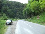
Access to starting point:
A) Over the border crossing Gruškovje / Macelj we drive into Croatia. We leave the highway at the exit Đurmanec and drive to the mentioned village. From the roundabout we continue in the direction of Krapina, and then on the old road we drive through the valley of Krapinica, along which we drive only one minute, because before the sharp right turn we park at an appropriate place by the road. (If the parking lot is full, we drive to the beginning of Krapina, where we turn left towards the railway station Krapina-Žutnica, where there is a large parking lot)
b) We can also arrive in Croatia over the border crossing Dobovec / Lupinjak. From here it is 10 minutes to Đurmanec, from where we follow the above description.
Route description:
From the starting point we continue on the asphalt road towards the south in the direction of Krapina, but only to the right turn, where we will notice the first blazes. The path leads us into the forest and starts to ascend quite steeply to some sort of ridge above the abandoned quarry. Here the steepness gradually eases and the path brings us to a clearing, from which a nice view opens to the south (view towards Krapina and Sleme). From the clearing we continue right, then on the cart track we step into the forest, where the old path joins, and a little further we step onto the cart track.
On the cart track we continue towards the north, walking past two junctions all the way to the steep eastern slope. Here the path starts to ascend steeply and brings us in two hairpin turns to the southern slope, where it flattens (during the ascent a view towards the east opens temporarily). A gentle ascent follows and we arrive at the ridge, where the path turns towards the west. In a few minutes we ascend to the service road which leads towards the TV tower. When we step on the road, only a minute of walking separates us from the top.
From the top of Brezovica towards the east Varaždin and Čakovec are visible, towards the north Pohorje, but this view is already very hindered by the forest.

Photos:
 1
1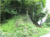 2
2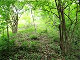 3
3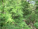 4
4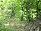 5
5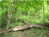 6
6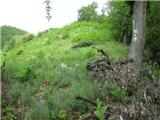 7
7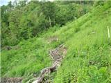 8
8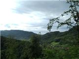 9
9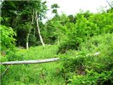 10
10 11
11 12
12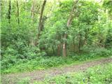 13
13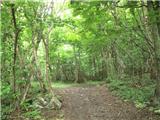 14
14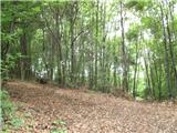 15
15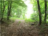 16
16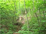 17
17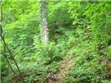 18
18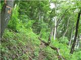 19
19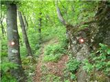 20
20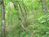 21
21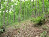 22
22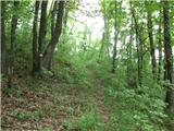 23
23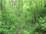 24
24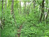 25
25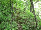 26
26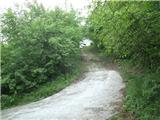 27
27 28
28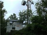 29
29
Discussion about the trip Krapina / Dolići - Brezovica
|
| Marx24. 03. 2020 |
Whoever goes on this path now will have quite a bit of trouble with orientation because the section from picture 10 to picture 13 is now one big clearing, no more forest... After that everything is as described. Also can't reach the object at the top anymore because it's now fenced.
|
|
|
|
| Marx7. 03. 2025 22:11:28 |
Unfortunately, this path has been abandoned and no longer officially exists...
|
|
|
To post a comment you must log in:
If you do not yet have a username, you must first
register.