Starting point: Krnica (660 m)
| Latitude/Longitude: | 46,37890°N 14,04190°E |
| |
Walking time: 3 h 15 min
Difficulty: easy marked way
Elevation gain: 896 m
Elevation difference along the route: 950 m
Map: TNP 1:50.000
Recommended equipment (summer):
Recommended equipment (winter):
Views: 11.295
 | 1 person like this post |
Access to starting point:
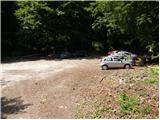
From the Ljubljana-Jesenice highway, we take the Lesce exit and follow the road in the direction of Bled. At the traffic-light roundabout in Bled, we continue right (direction Pokljuka) and follow the occasionally somewhat narrower road to the village Krnica. Here we will notice signs for Pokljuška soteska, which direct us to the right (direction Radovna) and then already after a few meters to the left. We follow the road continuously in the direction of Pokljuška soteska, at the beginning of which we park on the arranged parking lot.
Route description:
From the parking lot, we head right onto the road in the direction of Klek and Kranjska dolina. The road quickly enters the forest, where it starts to ascend steeply. A little higher, the road temporarily flattens and takes us past a smaller sign (St. Miklavž) to the other side of the ridge opposite Pokljuška soteska. We continue along the relatively steep road, which past pastures and a shepherd hut brings us to a somewhat larger chapel, behind which we soon reach a marked junction.
We continue slightly right (left Lipanca) and follow the poorer road for only a few dozen steps to the point where the blazes direct us onto a footpath that enters the forest. The path ahead ascends through the forest along the edge of the extensive Planina Pokljuka. Higher up, the path, which runs along the edge of the pasture fence, brings us to a wide cart track, along which we continue the ascent. The cart track higher up crosses a forest road several times, and we always follow it in the direction of Planina Klek and Planina Meja dolina. After a while, the cart track brings us to a larger clearing where young spruces are already growing. Here the trail among the spruces almost completely disappears, but after a few minutes of pushing through the young forest, we will soon step onto a cart track, which we then follow to the nearby road.
When we step onto the road, we follow it sharply to the right (direction Klek, Lipanca), walking along it for only a few dozen meters, after which signs for Klek on a small clearing direct us left onto a quite overgrown footpath (on this section there is quite a lot of uncut fallen trees). Higher up, the marked path returns to the road, and we continue along it to the point where the blazes direct us slightly right onto a churned-up forest track. We ascend the track for a few dozen steps, after which the marked path turns left, where it then moderately ascends through the forest. Higher up we cross the road again; an occasionally poorly visible trail then takes us past the NOB memorial plaque to the edge of the abandoned Planina Meja dolina.
We continue along the marked path, which bypasses the mentioned planina on the left side and higher up crosses the forest road again. The path ahead starts to ascend steeply, then gradually flattens after we cross the road once more and brings us to a small parking lot near Planina Klek. Here we follow the road to the right, and after just a few steps we notice hiking signposts that direct us left onto the marked footpath. We then ascend past a watering place for animals, and the moderately steep path quickly brings us to the shepherd huts on Planina Klek.

Along the route: Planina Pokljuka (900m), Spodnji Pokljuški Rovti (980m), Planina Meja dolina (1300m)
Photos:
 1
1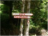 2
2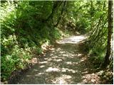 3
3 4
4 5
5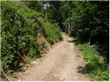 6
6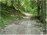 7
7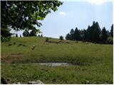 8
8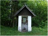 9
9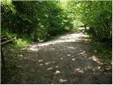 10
10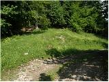 11
11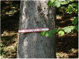 12
12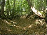 13
13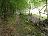 14
14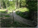 15
15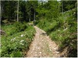 16
16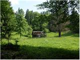 17
17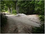 18
18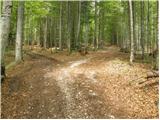 19
19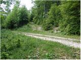 20
20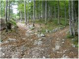 21
21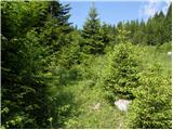 22
22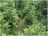 23
23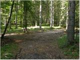 24
24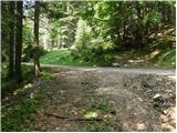 25
25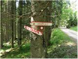 26
26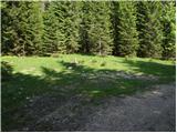 27
27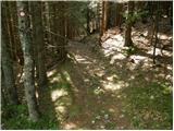 28
28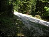 29
29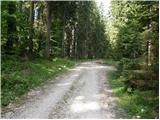 30
30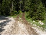 31
31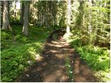 32
32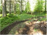 33
33 34
34 35
35 36
36 37
37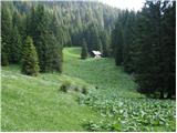 38
38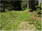 39
39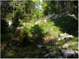 40
40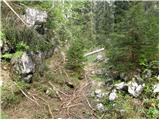 41
41 42
42 43
43 44
44 45
45 46
46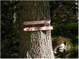 47
47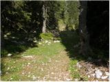 48
48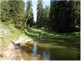 49
49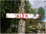 50
50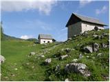 51
51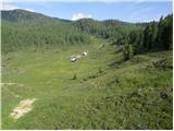 52
52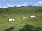 53
53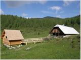 54
54
Discussion about the trip Krnica - Planina Klek
To post a comment you must log in:
If you do not yet have a username, you must first
register.