Starting point: Krog (215 m)
| Latitude/Longitude: | 45,45480°N 13,92690°E |
| |
Walking time: 4 h
Difficulty: easy marked way
Elevation gain: 236 m
Elevation difference along the route: 490 m
Map: Slovenska Istra - Čičarija, Brkini in Kras 1:50.000
Recommended equipment (summer):
Recommended equipment (winter):
Views: 942
 | 1 person like this post |
Access to starting point:
From the Ljubljana–Koper highway, take the Črni Kal exit. From Črni Kal, continue driving on the old road towards the coast, but drive along it only to the next somewhat larger crossroads, where we turn left towards the Sočerga border crossing. On the mentioned road, we drive past the settlement Kubed to the village Gračišče, where at the crossroads we turn left towards Rakitovec, Movraž and Smokvica. From Gračišče we drive to the village Movraž, and there we turn right towards Dvori. Before the village Dvori we come to the next crossroads, where we continue sharply right (left Dvori), and we drive another few hundred metres along the road to the hiking signposts, which we see beside the road. We park in a suitable spot by the hiking signposts.
Route description:
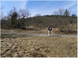
On the opposite side of the road from the signposts for the natural bridge and the church of St. Kvirik, we notice the beginning of the footpath that leads to Lačna. At first we walk on a gentle cart track, or wide path, which quickly turns into a dense strip of bushes, then the blazes direct us slightly right onto a steep path, along which we quickly ascend to a wide and partly rocky cart track. We then continue the ascent for some time along the mentioned cart track, which first rises above the village Dvori, then gradually turns slightly left, where higher up it flattens completely. This is followed by a short crossing of panoramic grassy slopes, from which a nice view opens onto Movraška vala and the village Movraž.
The cart track a little further brings us to another cart track, where at the junction we continue right, and we ascend along it to the nearby asphalt road.
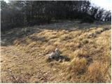
We merely cross the mentioned road and continue in the same direction, continuing the ascent along the macadam road. The macadam road further leads us across karst meadows surrounded by numerous pines, which gradually narrows and higher up joins a wider macadam road. We follow the road left, and it soon flattens. With a view of Lipnik and Kavčič, the road quickly brings us to the next junction, where we continue along the left road. This is followed by walking along a gentle road, which a little further crosses the edge of a pine forest, then brings us to completely barren plateau terrain. Here a path unmarked towards Tri učke branches off to the left, while we follow the macadam road for another approximately 15 minutes, or to the marked junction, where the marked path to Slavnik branches off right.
From the junction we continue further along the poorer macadam road towards Kuk, which soon turns into a wide cart track, along which we ascend gently onto the extensive summit slope of Kuk, where the next marked junction is.
Here we continue towards Kuk, to which we have only a minute of easy and panoramic walking left.
From the summit we return to the last junction and continue towards Lačna, first gently descending, then more steeply for a short time. Lower down the path flattens, then gradually stops descending, or later begins to ascend gently. A little higher the path brings us to the slopes of Krog, whose summit we bypass on the right side. The path further leads us across a medium-sized clearing, after which it enters a strip of pine forest. From here a few more minutes of walking follow, and the path brings us to Vrh križa.
From Vrh križa we continue along the grassy cart track, which descends gently towards the northeast. The path further leads past a natural cave, then we arrive at a marked junction, where a marked path from Komare doline joins from the left.
From the junction we go straight ahead and continue along the cart track, which in a gentle ascent leads us across partly grassy slopes. After a few minutes the blazes from the cart track direct us right onto a marked path, along which we quickly arrive at the summit of Lačna.
From the summit we can also climb to the observation tower, from which a nice view opens towards Slavnik, Učka, Gulf of Trieste, and on a clear day as far as the Dolomites and Julian Alps.
Starting point - Kuk 2:50, Kuk - Vrh križa 0:35, Vrh križa - Lačna 0:35.

Along the route: Kuk (498m), Vrh križa (411m)
Photos:
 1
1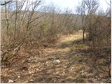 2
2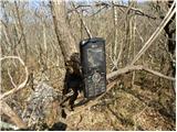 3
3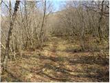 4
4 5
5 6
6 7
7 8
8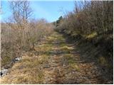 9
9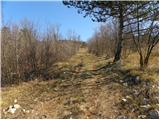 10
10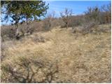 11
11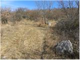 12
12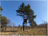 13
13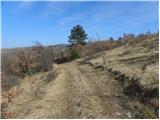 14
14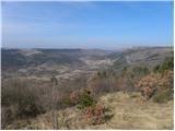 15
15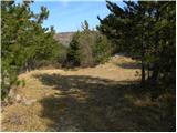 16
16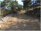 17
17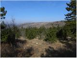 18
18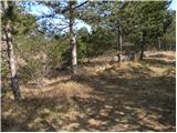 19
19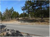 20
20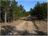 21
21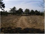 22
22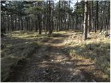 23
23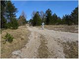 24
24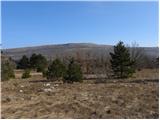 25
25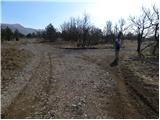 26
26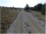 27
27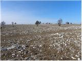 28
28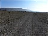 29
29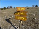 30
30 31
31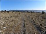 32
32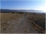 33
33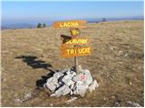 34
34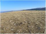 35
35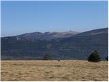 36
36 37
37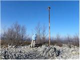 38
38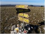 39
39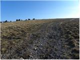 40
40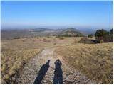 41
41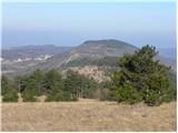 42
42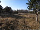 43
43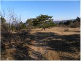 44
44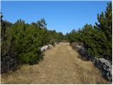 45
4546
 47
47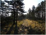 48
48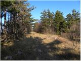 49
49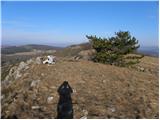 50
50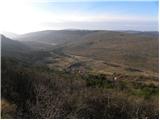 51
51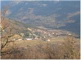 52
52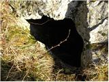 53
53 54
54 55
55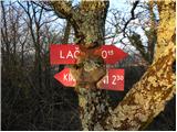 56
56 57
57 58
58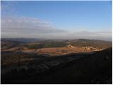 59
59 60
60 61
61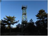 62
62 63
63
Discussion about the trip Krog - Lačna
To post a comment you must log in:
If you do not yet have a username, you must first
register.