Kropa - Bela peč (Podbliška gora) (via tehnika Meta)
Starting point: Kropa (494 m)
| Latitude/Longitude: | 46,29060°N 14,20470°E |
| |
Route name: via tehnika Meta
Walking time: 3 h
Difficulty: easy unmarked way
Elevation gain: 664 m
Elevation difference along the route: 740 m
Map: Škofjeloško in Cerkljansko hribovje 1:50.000
Recommended equipment (summer):
Recommended equipment (winter): ice axe, crampons
Views: 682
 | 1 person like this post |
Access to starting point:
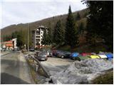
A) From Ljubljana, we drive on the Gorenjska motorway towards Jesenice, and we follow it to the Ljubelj (Podnart) exit. Further, we drive on the quick road towards Ljubelj and at the first junction we turn right, where we then quickly arrive at a roundabout, from which we continue in the direction of Podnart and Kropa. The road then leads us through the underpass below the motorway and a little further brings us to a junction, where the road from Naklo joins. Here we continue right, and we continue on the road which starts gradually descending. In the middle of the descent, we arrive at a junction, where we continue sharply left (direction Kropa) and then immediately behind the bridge over the Sava river again left (right Podnart). Further, we drive along the Lipnica stream and we follow the road to a junction, where a road towards Kamna Gorica branches off to the right. Here we continue left towards Kropa and we follow the road through the mentioned settlement. Just a few meters before the house with house number 7, we will notice on the left side a sports field and below it a parking lot, where we park.
B) From the Gorenjska direction we leave the motorway towards Ljubljana at the Brezje exit and then we follow the signs towards Kropa. We park on the parking lot by the sports field in Kropa.
Route description:
From the parking lot, we walk to the house with house number 7, and here we continue left on the initially still asphalt road. The road quickly becomes macadam, and we ascend on it to the church of Kroparska Mater of God.
From the church, we continue on a cart track which ascends transversely towards the left over a relatively steep slope. Higher, we step onto the forested ridge, where we continue sharply right in the direction of Jamnik (left Brezovica, straight Češnjica). We continue further on the cart track, which ascends on a relatively gentle ridge.
We continue towards Jamnik, and the path leads us along the forested ridge; after a short ascent we reach the indistinct summit of Berigle. Higher, the path gradually passes from the ridge onto the slope and splits.
To the left the path to Jamnik branches off, and we go a few steps further left at the marked junction, from which we continue on a steep path in the direction of Vodiška planina. A few minutes of steep ascent follow, then we cross an asphalt road.
On the other side of the road, we continue on the marked cart track, from it we soon go right onto a footpath, which after a few minutes returns to the cart track. Some ascent on the cart track follows, where we make a few hairpin turns, then the cart track narrows into a mountain path. During the further ascent, some temporary views towards Jamnik open up, and behind a smaller shrine the path widens into a cart track, which brings us to a junction where the path from Jamnik joins from the left.
We follow the signs for Vodice and quickly arrive at a junction where to the left the path to tehnika Meta branches off.
Here we leave the path towards Vodiška planina and continue slightly left onto a path that past the warehouse brings us to Partizanska tehnika Meta in approximately 5 minutes of further walking.
From the logbook box we continue ahead, the path turns left and descends to the cart track, we cross it and continue on another cart track which ends; the marked path continues left. Lower there follow a few more junctions where we follow the blazes; when we reach a wider cart track, we continue along it all the way to the road, even though the marked path branches off left downwards.
When we reach the road we follow it to the right, and it brings us after some time to a junction, beside which there are signs for tehnika Meta, and we continue onto the left road, which descends slightly. We walk along the road to the first branch-off of a cart track to the left; the cart track along which we continue splits after a few steps.
We continue right and join the marked path Podblica - Bela peč.
Further on we follow the marked path, which mostly ascends gently to occasionally moderately, and higher at the paraglider take-off site a nice view opens up from it, reaching all the way to the Kamniško-Savinjskih Alps.
The marked path continues right from the viewpoint and steeply ascends through the forest and along the edge of the plateau to the nearby summit, from which a nice view opens up.

Along the route: Cerkev Kroparske Matere Božje (525m), Berigla (685m), Partizanska tehnika Meta (1100m)
Photos:
 1
1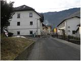 2
2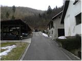 3
3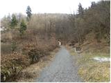 4
4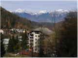 5
5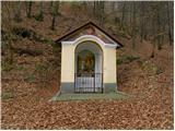 6
6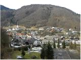 7
7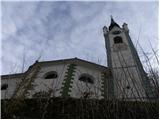 8
8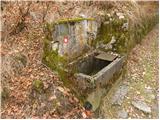 9
9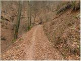 10
10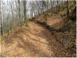 11
11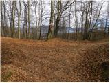 12
12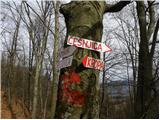 13
13 14
14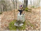 15
15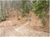 16
16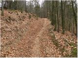 17
17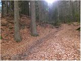 18
18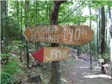 19
19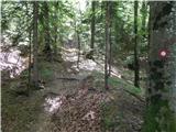 20
20 21
21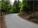 22
22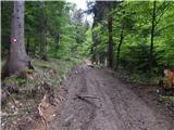 23
23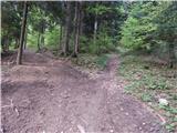 24
24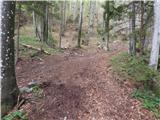 25
25 26
26 27
27 28
28 29
29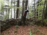 30
30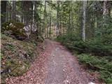 31
31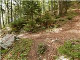 32
32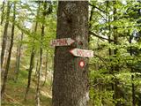 33
33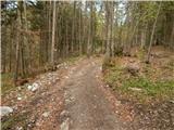 34
34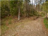 35
35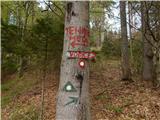 36
36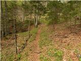 37
37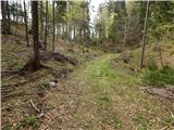 38
38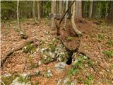 39
39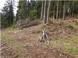 40
40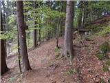 41
41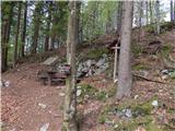 42
42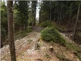 43
43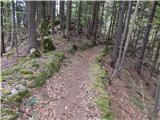 44
44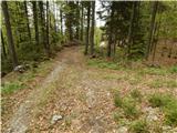 45
45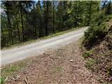 46
46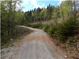 47
47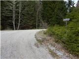 48
48 49
49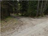 50
50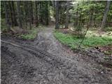 51
51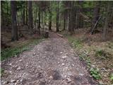 52
52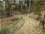 53
53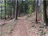 54
54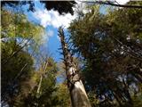 55
55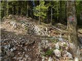 56
56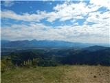 57
57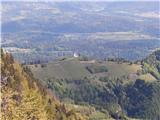 58
58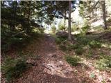 59
59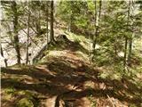 60
60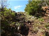 61
61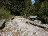 62
62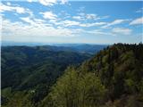 63
63
Discussion about the trip Kropa - Bela peč (Podbliška gora) (via tehnika Meta)
To post a comment you must log in:
If you do not yet have a username, you must first
register.