Krvavi Potok - Veliko Gradišče
Starting point: Krvavi Potok (456 m)
| Latitude/Longitude: | 45,62240°N 13,91400°E |
| |
Walking time: 1 h
Difficulty: easy marked way
Elevation gain: 286 m
Elevation difference along the route: 300 m
Map:
Recommended equipment (summer):
Recommended equipment (winter):
Views: 5.887
 | 1 person like this post |
Access to starting point:
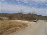
From the highway Ljubljana - Koper, we take the Kozina exit, and then we continue driving towards Trst / Trieste. Before we cross the national border we arrive in the village Krvavi Potok, where we turn right in the direction of Vrhpolje. We drive another few 100 meters and then we arrive at a smaller crossroad, by which we notice signposts for Kokoš, Veliko Gradišče and Joškova cesta. We park at a suitable place by the crossroad.
Route description:
From the crossroad by which we parked, we go on a macadam road (direction Kokoš and Veliko Gradišče) and start gently ascending along it. After a good 100 meters of walking, we arrive at a smaller crossroad, where we continue right on a gradually somewhat steeper road. From the road, which then moderately ascends, views first open up only on the nearby hills, and higher also towards Slavnik. After approximately half an hour of walking the road flattens, and then only a few 10 meters ahead an asphalt road joins (road comes from the village Vrhpolje). Here we continue straight and past the nearby decaying church of St. Tomaž and well-maintained cemetery we walk to a marked junction, which is situated only a few meters ahead of the abandoned playground and nearby buildings.
At the junction in front of which the asphalt ends, we go straight in the direction of Veliko Gradišče (left Kokoš) and continue the ascent on a marked hiking path which starts moderately ascending through the forest. Higher, we join a wider path, on which in 10 minutes of additional walking we ascend to the panoramic peak.

Photos:
 1
1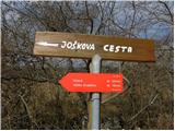 2
2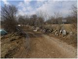 3
3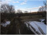 4
4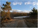 5
5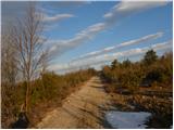 6
6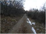 7
7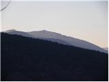 8
8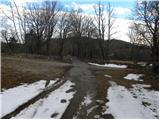 9
9 10
10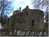 11
11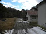 12
12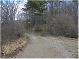 13
13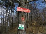 14
14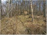 15
15 16
16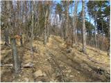 17
17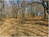 18
18 19
19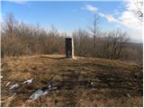 20
20 21
21
Discussion about the trip Krvavi Potok - Veliko Gradišče
To post a comment you must log in:
If you do not yet have a username, you must first
register.