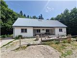
Starting point: Kugina kuća (1171 m)
| Latitude/Longitude: | 44,62212°N 15,07017°E |
| |
Walking time: 1 h 30 min
Difficulty: easy marked way
Elevation gain: 333 m
Elevation difference along the route: 350 m
Map:
Recommended equipment (summer):
Recommended equipment (winter): ice axe, crampons
Views: 228
 | 1 person like this post |
Access to starting point:
a) From the A1 motorway, take the Otočac exit. Continue along the road towards the village of Krasno and NP Sjeverni Velebit. The quite winding road takes us through the village of Švica to Krasno, where the road from Senj joins (access also possible from this direction). In Krasno, continue left towards Štirovače, and when the road to NP Sjeverni Velebit branches off to the right, continue straight ahead. The asphalt road leads us through forests all the way to the Mrkvište hut, where the road to Alan branches off to the right (it is possible to arrive from this direction as well). The road begins to descend all the way to Štirovače, where we continue driving towards Gospić, but only to the turnoff for Kugina kuća and Ravni Dabar. Turn onto the gravel road, which is not in the best condition. After approximately 9 km of driving, we arrive at Kugina kuća, which is on the left side. Park somewhere along the road. From Krasno, it is 37 km of driving.
b) From the A1 motorway, take the Perušić exit (toll payment possible only with a card or ENC system), then continue left and immediately right towards Klanac, Kaluđerovac and Malo Polje. Drive to Klanac, where at the intersection continue right. The road takes us through Aleksinica and after the settlement of Velika Plana, we enter the forest. After approximately 20 km of asphalt road from the last village, we arrive at an intersection, where we continue left towards Kugina kuća. The road becomes gravel, which is not in the best condition. After approximately 9 km of driving, we arrive at Kugina kuća, which is on the left side. Park somewhere along the road. From Velika Plana, it is approximately 28 km of driving.
Access to the starting point is also possible from Karlobag or from Gospić via Baške Oštarije. The road from Ravni Dabar is entirely gravel and quite damaged in several places.
Route description:
From Kugina kuća, head along the road towards Štirovača. After a few steps, we reach a junction at the old forestry hut, where to the right a path branches off to Laktin vrh behind the mentioned hut. Left along the road to Šatorina and Težakovaćko vrelo. After a short ascent, the path turns onto a logging trail, which we follow to the right. Then the trail ascends unevenly and sometimes descends, leading us through junctions where we carefully follow the markers and the most trodden path. The trail is overgrown in places with dogwood and nettles. After about half an hour of such path, the trail visibly descends to the road. It is possible to reach here by car. After a few meters, we leave the road and head onto a trail that ascends quite steeply in places. We arrive at a small clearing, where the trail goes straight out or somewhat around. The trail then crosses it and descends again into a small valley, after which be very careful at the poorly marked branch to the right. Here we leave the trail and head onto an overgrown path. Gradually it becomes well traceable and we ascend to the road. Just before the road, the path is again very overgrown. We do not step onto the road, but immediately turn right onto a very overgrown logging trail. After a few minutes of ascent, watch for the branch to the left. When there is a fallen tree on the trail, the branch is a little before it. The path ahead is more traceable and less overgrown. Soon we reach a less pronounced subpeak, from where the path gently descends to a flat area. Shortly after, the path steeply ascends to the right and leaves the forest. Over a short rocky step, we reach the summit logbook and stamp a few meters below the summit, and behind it we step onto the panoramic summit.
Description and photos refer to the condition in July 2025.

Photos:
 1
1 2
2 3
3 4
4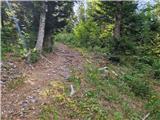 5
5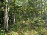 6
6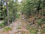 7
7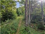 8
8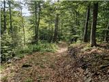 9
9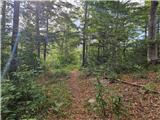 10
10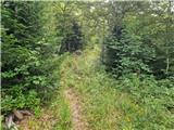 11
11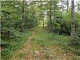 12
12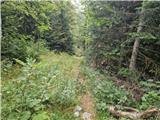 13
13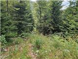 14
14 15
15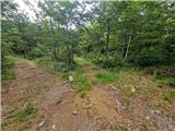 16
16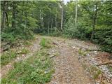 17
17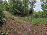 18
18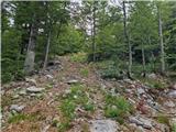 19
19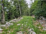 20
20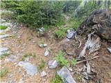 21
21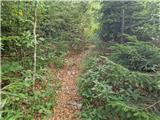 22
22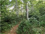 23
23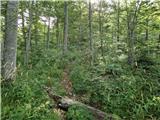 24
24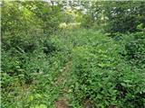 25
25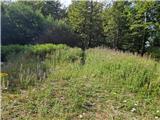 26
26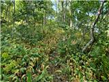 27
27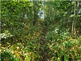 28
28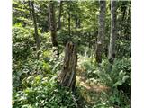 29
29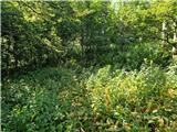 30
30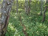 31
31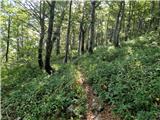 32
32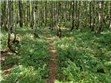 33
33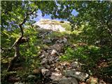 34
34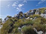 35
35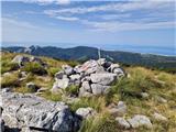 36
36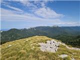 37
37 38
38 39
39
Discussion about the trip Kugina kuća - Laktin vrh
To post a comment you must log in:
If you do not yet have a username, you must first
register.