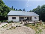
Starting point: Kugina kuća (1171 m)
| Latitude/Longitude: | 44,62212°N 15,07017°E |
| |
Walking time: 2 h 30 min
Difficulty: easy marked way
Elevation gain: 453 m
Elevation difference along the route: 480 m
Map:
Recommended equipment (summer):
Recommended equipment (winter): ice axe, crampons
Views: 196
 | 1 person like this post |
Access to starting point:
a) From the A1 motorway, take the Otočac exit. Follow the road towards the village of Krasno and NP Northern Velebit. The quite winding road takes us through the village of Švica to Krasno, where the road from Senj joins us (access possible also from this direction). In Krasno, continue left towards Štirovače and when the road to NP Northern Velebit branches off to the right, continue straight. The asphalt road leads us through forests all the way to the Mrkvište hut, where the road to Alan branches off to the right (it is possible to arrive from this direction as well). The road begins to descend all the way to Štirovače, where we continue driving towards Gospić, but only to the branch-off for Kugina kuća and Ravni Dabar. Turn onto the gravel road, which is not in the best condition. After approximately 9 km of driving, we arrive at Kugina kuća, which is on the left side. Park somewhere along the road. From Krasno it is 37 km of driving.
b) From the A1 motorway, take the Perušić exit (toll payment is possible only with a card or ENC system), then continue left and immediately right towards Klanac, Kaluđerovac and Malo Polje. We drive to Klanac, where at the intersection we continue right. The road takes us through Aleksinica and behind the locality of Velika Plana we enter the forest. After approximately 20 km of asphalt road from the last village, we arrive at an intersection, where we continue left towards Kugina kuća. The road becomes gravel, which is not in the best condition. After approximately 9 km of driving, we arrive at Kugina kuća, which is on the left side. Park somewhere along the road. From Velika Plana it is approximately 28 km of driving.
Access to the starting point is also possible from Karlobag or from Gospić via Baške Oštarije. The road from Ravni Dabar is entirely gravel and quite damaged in several places.
Route description:
From Kugina kuća, head along the road towards Štirovača. After a few steps, we reach a junction at the old forestry hut, where we turn left towards Šatorina and Težakovaćko vrelo. To the right, the path branches off to Laktin vrh. The road crosses the slope and after 10 minutes we reach the branch-off for Težakovaćko vrelo. To the spring it is a few minutes, the sign says 15 minutes, which is exaggerated. Continue along the road, which after a few minutes takes us to the branch-off for bivouac Radlovac. Continue further along the road, which turns right and ascends unevenly and then gently descends. After approximately 45 minutes of walking along the road from the starting point, the sign for the summit of Šatorina directs us slightly left onto the path. It is possible to drive here by car. The path ascends steeply and soon we reach a logging trail, which we follow left. After a short steep ascent, we leave it and continue right. The path initially follows a faint ridge, then ascends transversely to the right. After a shorter steep ascent, we return to the ridge and head right. The gentle path leads along and beside the faint ridge. There is a fallen tree on the path that needs to be bypassed quite a bit above the path. Soon after, the forest begins to thin and we gradually move onto the grassy slopes of Šatorina. A steep ascent follows on the grassy slope with increasingly beautiful views of the nearby Matijević brijeg and the somewhat more distant Dabarske kukove. After approximately 15 minutes of ascent, we reach the path coming from Alan and bivouac Ograđenica, where we continue right. The path, which is rocky in places, crosses the southern slope of Šatorina and heads into a small valley. Soon it begins to ascend more steeply again and in a few minutes we reach the highest summit of Central Velebit, from where a beautiful view opens up in all directions. At the summit there is a geodetic point, next to it on a stone there is the HPO stamp. The logbook is located a little further west.
Description and photos refer to the condition in July 2025.

Along the route: Težakovaćko vrelo (1180m)
Photos:
 1
1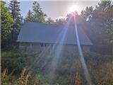 2
2 3
3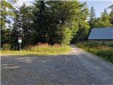 4
4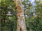 5
5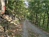 6
6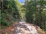 7
7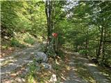 8
8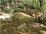 9
9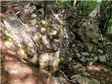 10
10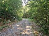 11
11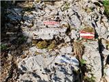 12
12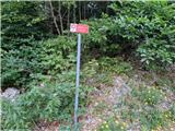 13
13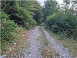 14
14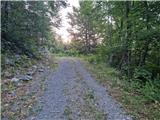 15
15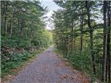 16
16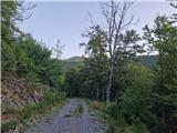 17
17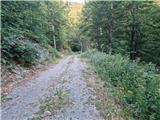 18
18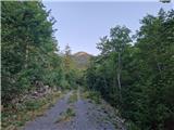 19
19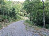 20
20 21
21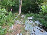 22
22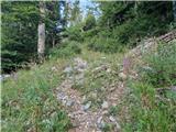 23
23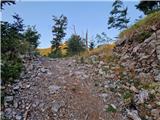 24
24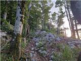 25
25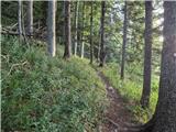 26
26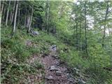 27
27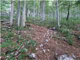 28
28 29
29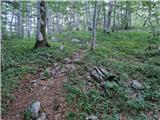 30
30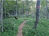 31
31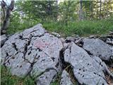 32
32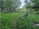 33
33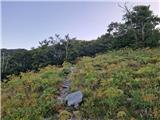 34
34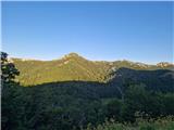 35
35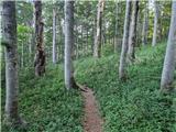 36
36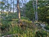 37
37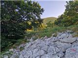 38
38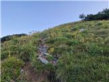 39
39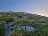 40
40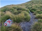 41
41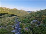 42
42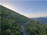 43
43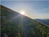 44
44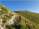 45
45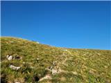 46
46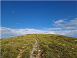 47
47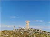 48
48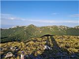 49
49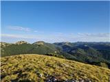 50
50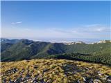 51
51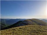 52
52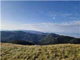 53
53 54
54
Discussion about the trip Kugina kuća - Šatorina
To post a comment you must log in:
If you do not yet have a username, you must first
register.