Starting point: Kuk (430 m)
| Latitude/Longitude: | 46,19620°N 13,93610°E |
| |
Walking time: 3 h 30 min
Difficulty: easy unmarked way
Elevation gain: 1414 m
Elevation difference along the route: 1450 m
Map: Škofjeloško in Cerkljansko hribovje 1:50.000
Recommended equipment (summer):
Recommended equipment (winter): ice axe, crampons
Views: 8.040
 | 1 person like this post |
Access to starting point:
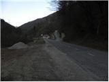
A) First, we drive to Škofja Loka, and then we continue driving towards Železniki, Podbrdo and further towards Tolmin. Soon after the end of the settlement Podbrdo, a narrow and steep road towards the village Kuk branches off to the right. We park by the main road at a suitable spot near the junction.
B) We drive to Bača pri Modreju, and then we continue driving towards Podbrdo and Železniki. After the settlement Hudajužna, the road towards the villages Znojile, Stržišče and Kal first branches off to the left, and we follow the main road for approximately 1 km more, then we arrive at a junction, where a steep asphalt road towards the village Kuk branches off sharply to the left. We park by the main road at a suitable spot near the junction.
Route description:
From the starting point, first we carefully cross the main road, and then we head towards the road in the direction of the village Kuk. The road first ascends transversely across the steep slope, then brings us to the ridge, where it turns sharply to the right. A few minutes of walking follow, and the path brings us to the mentioned village.
In the middle of the village, we turn slightly right onto the road, which ends a few tens of meters higher. We continue left on a wide cart track, which immediately turns right and ascends transversely up the steep slope. Soon we arrive at a junction of cart tracks, and we choose the one that turns sharply to the left. Further on, the cart track ascends over a short meadow, then passes into the forest and ascends transversely on the western slopes of the peak Durnik. Higher, we reach a smaller saddle, where the path passes to the right side of the hill named Krn. The mentioned peak we only cross without major changes in altitude, then at the next saddle we again pass to the left side of the ridge. This time we will bypass the peak Stonbont on the left side, which with 882 m is the highest peak of the ridge along which we have been walking for some time. A short descent follows, and the path, from which a beautiful view opens up on Spodnje Bohinjske gore, quickly brings us to the village Kal, where we reach a marked path.
In the village Kal, we notice signs for Črna prst, which past a trough with water and some houses lead us to a cart track, which first ascends across the grassy slope, then passes into the forest, through which we then ascend for some time. Higher, we join a rougher forest road, which we follow to the right, walking along it to the marked junction at the saddle Sedlo.
From Sedlo, where the path from Podbrdo joins us, we continue left and follow the cart track only for a short time, as the blazes then direct us left onto a footpath, which begins to ascend ever steeper through the forest. Higher, the trail temporarily flattens a bit, then brings us to a viewpoint with a bench. Slightly behind the bench, the trail splits into two parts (the right path is more trodden), then after approximately 15 minutes they join again. Just a little above the junction of both paths, we arrive at the next bench, from which a beautiful view opens up towards Kobla and the peaks above Soriška planina.
From the bench, we continue through the forest for a short time, then the path passes onto increasingly panoramic grassy slopes. When we step out of the forest, the path slowly begins to turn a little to the right, then turns left and ascends transversely to the saddle Čez Suho, where the path from the Bohinj side joins us.
Here we continue left, and with views of Baška grapa, Bohinj and the highest peaks of the Julian Alps, in a few minutes we ascend to the mountain hut Dom na Črni prsti, which is located only a few meters below the summit.
We bypass the mountain hut Dom Zorka Jelinčiča on the left side and over a short steep slope in a few steps ascend to the panoramic summit.

Along the route: Kuk (573m), Kal (817m), Sedlo (985m), Čez Suho (1760m)
Photos:
 1
1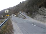 2
2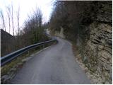 3
3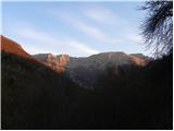 4
4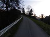 5
5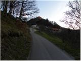 6
6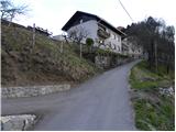 7
7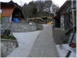 8
8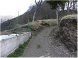 9
9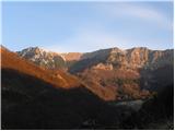 10
10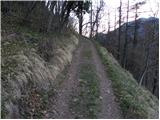 11
11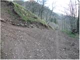 12
12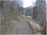 13
13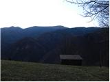 14
14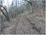 15
15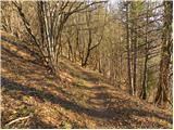 16
16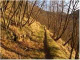 17
17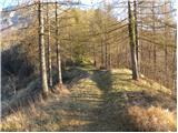 18
18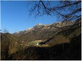 19
19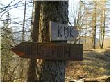 20
20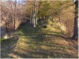 21
21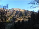 22
22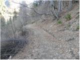 23
23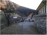 24
24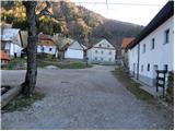 25
25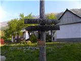 26
26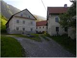 27
27 28
28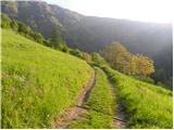 29
29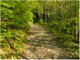 30
30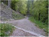 31
31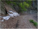 32
32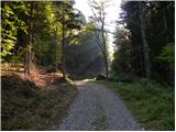 33
33 34
34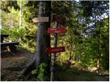 35
35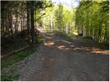 36
36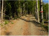 37
37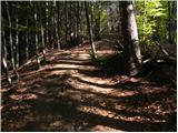 38
38 39
39 40
40 41
41 42
42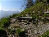 43
43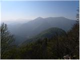 44
44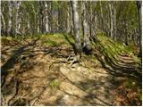 45
45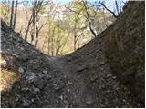 46
46 47
47 48
48 49
49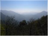 50
50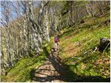 51
51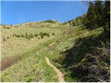 52
52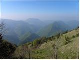 53
53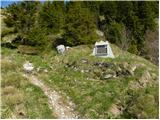 54
54 55
55 56
56 57
57 58
58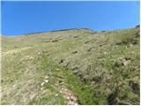 59
59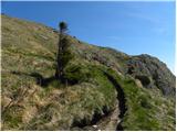 60
60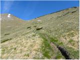 61
61 62
62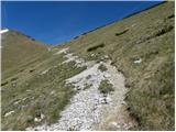 63
63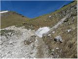 64
64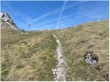 65
65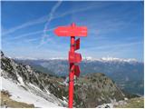 66
66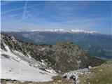 67
67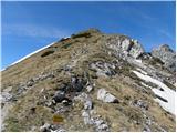 68
68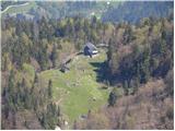 69
69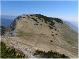 70
70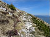 71
71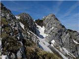 72
72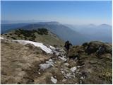 73
73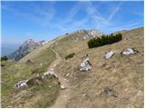 74
74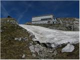 75
75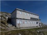 76
76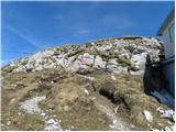 77
77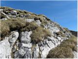 78
78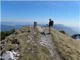 79
79 80
80
Discussion about the trip Kuk - Črna prst
To post a comment you must log in:
If you do not yet have a username, you must first
register.