Kupljenik - Gradišče pod Babjim zobom
Starting point: Kupljenik (642 m)
| Latitude/Longitude: | 46,33820°N 14,07850°E |
| |
Walking time: 25 min
Difficulty: easy unmarked way
Elevation gain: 182 m
Elevation difference along the route: 182 m
Map: Karavanke - osrednji del 1:50.000
Recommended equipment (summer):
Recommended equipment (winter):
Views: 1.540
 | 2 people like this post |
Access to starting point:
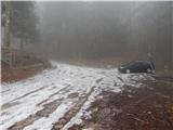
A) From the highway Ljubljana - Jesenice, we take the Lesce exit, then continue driving towards Bled and further towards Bohinj. When Bled ends, first the road towards Bohinjska Bela branches off to the right, approximately 1.5 km ahead, on the top of the hill the road towards the village Kupljenik branches off to the left. We continue towards Kupljenik and continue driving on the ascending asphalt road, which we follow to the mentioned settlement. In the settlement, on the part where there are no houses, we arrive at the left hairpin turn, in the middle of which a short road to the marked parking lot branches off to the right.
B) First, we drive to Podbrdo and from there to Bohinjska Bistrica (by car shuttle train or over Soriška planina). From Bohinjska Bistrica, we continue driving towards Bled. Before arriving at Bled, we come to a junction where the road towards the village Kupljenik branches off to the right (the turn-off from the main road is marked). We continue towards Kupljenik and continue driving on the ascending asphalt road, which we follow to the mentioned settlement. In the settlement, on the part where there are no houses, we arrive at the left hairpin turn, in the middle of which a short road to the marked parking lot branches off to the right.
Route description:
From the marked parking lot, we continue on a poorer road in the direction of the cave Jama pod Babjim zobom and Babji zob. The road first leads us along the edge of the pasture, from where a nice view temporarily opens up, reaching all the way to the highest peaks of the Karawanks, then after the left turn the path enters the forest. The wide cart track at the nearby water supply facility turns sharply right, then ascends diagonally to the right. Slightly higher, the marked path (cart track) to Babji zob turns left, but we continue right onto a somewhat narrower cart track leading to the cave under Babji zob (at the junction there are only signs for Babji zob).
After a short ascent we arrive at the next junction, this time well marked, where another path to Babji zob branches off to the left, but we continue straight ahead and follow the marked path to the cave under Babji zob to a larger clearing, at whose edge the haylofts are located.
At the haylofts we leave the marked path and continue right on a less visible footpath that bypasses the haylofts on the left side. The path then leads us through an indistinct valley, and in the upper part we continue slightly left and climb onto a smaller ridge, which we follow to the right, ascending to the summit of Gradišče in another minute or two.
Description and pictures refer to the condition in 2017 (February).

Photos:
 1
1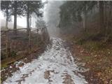 2
2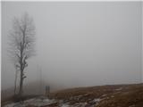 3
3 4
4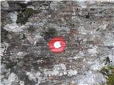 5
5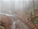 6
6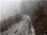 7
7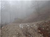 8
8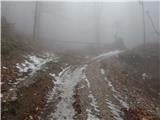 9
9 10
10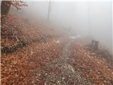 11
11 12
12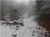 13
13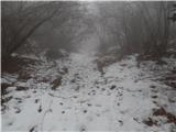 14
14 15
15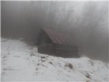 16
16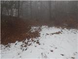 17
17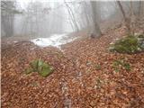 18
18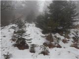 19
19 20
20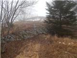 21
21 22
22 23
23
Discussion about the trip Kupljenik - Gradišče pod Babjim zobom
To post a comment you must log in:
If you do not yet have a username, you must first
register.