Kurnikovo sedlo - Eisenkappler Hutte (footpath)
Starting point: Kurnikovo sedlo (997 m)
| Latitude/Longitude: | 46,48580°N 14,53340°E |
| |
Route name: footpath
Walking time: 1 h 30 min
Difficulty: easy marked way
Elevation gain: 556 m
Elevation difference along the route: 556 m
Map: Karavanke - osrednji del 1:50.000
Recommended equipment (summer):
Recommended equipment (winter):
Views: 5.921
 | 1 person like this post |
Access to starting point:
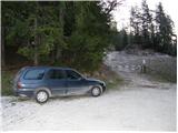
Over the border crossing Jezerski vrh or Pavličev vrh we drive to Železno Kapla / Bad Eisenkappel, from there we continue driving towards the west in the direction of »Hochobir«. We follow this road approximately 3 km to a crossroad, where a signpost for »Eisenkappler Hütte« points us right onto the still asphalted road, which starts to ascend more steeply and brings us higher to the spot where a road toll is collected. Here we park on the marked parking lot.
In the winter time driving and parking are forbidden.
Route description:
From the parking lot, we continue on the asphalt road which moderately ascends mostly through the forest. The road further crosses a few torrent streams and after one hour of walking brings us to Obirska planina.
From the mountain pasture, on which a shepherd hut stands, we continue on the road which soon makes a large right turn. After the turn, a marked footpath branches off to the left upwards, on which we go (it is also possible to continue on the road). The path, which starts to ascend a little steeper, crosses a cart track and through the forest in less than 30 minutes brings us to a poor forest road. The road brings us higher out of the forest and then turns left. After a few meters, the footpath directs onto the grassy slopes below the hut »Eisenkappler Hütte« to which only a few steps remain.
Photos:
 1
1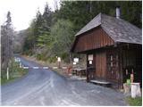 2
2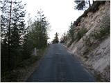 3
3 4
4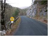 5
5 6
6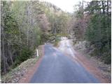 7
7 8
8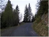 9
9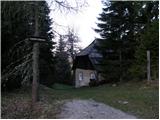 10
10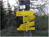 11
11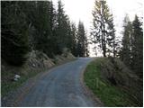 12
12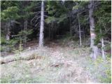 13
13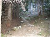 14
14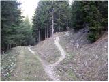 15
15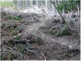 16
16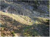 17
17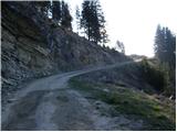 18
18 19
19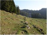 20
20 21
21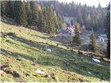 22
22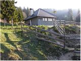 23
23 24
24
Discussion about the trip Kurnikovo sedlo - Eisenkappler Hutte (footpath)
To post a comment you must log in:
If you do not yet have a username, you must first
register.