Lago Scin - Rifugio Faloria
Starting point: Lago Scin (1336 m)
| Latitude/Longitude: | 46,54533°N 12,16605°E |
| |
Walking time: 2 h 45 min
Difficulty: partly demanding marked way
Elevation gain: 787 m
Elevation difference along the route: 830 m
Map: Tabacco 03 1:25.000
Recommended equipment (summer):
Recommended equipment (winter): ice axe, crampons
Views: 893
 | 2 people like this post |
Access to starting point:
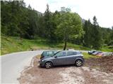
From Rateče or Predel we cross the border to Trbiž / Tarvisio and then on the highway in the direction of Vidma / Udine to exit Tolmezzo. From Tolmezzo we follow the road in the direction of the village Ampezzo and mountain pass Passo della Mauria. The road then descends and brings us to a crossroad, where we continue right towards Auronzo. Further, we follow the signs for pass Tre Croci. From the pass we continue a good 8 km in the direction towards Cortina d'Ampezzo, and then we park on the parking lot near the restaurant Ristorante Lago Scin, which is situated on the right side of the road.
Route description:
From the parking lot, we cross the road and at the lake Lago Scin by the main road, we will notice signposts, which point us to the left into the forest. The path immediately at the beginning turns a little to the right and even though there is quite a lot of blazes on the path, we still need to pay attention, because there are quite a few side paths and cart tracks, which are better beaten than the marked path. After a short initial ascent, the path brings us to a cart track where we continue right. The cart track then slightly descends and brings us to a motocross polygon, which is already somewhat overgrown. We continue on a footpath, which further runs through the forest on somewhat swampy terrain. Later, the path ascends a little and brings us to an indistinct saddle where there are plenty of blazes on the trees.
Here, the path branches off to the left towards the secured climbing path (Ferrata Sci Club 18), and we continue straight and start to descend slightly. Further, a gentle path crosses the slope below the gondola cable car and from the left soon joins path 206 from the mountain hut Rio Gere. The somewhat wider path then descends a little more and brings us to a junction near the macadam road.
Down the macadam road leads the path towards the town of Cortina d'Ampezzo, and upwards along the road it is just a few minutes' walk to the mountain hut Mandres, which is located at the intermediate station of the gondola cable car. At the junction, we turn left onto the footpath following the Faloria signs. The path here runs towards the south and soon begins to ascend quite steeply through the forest. For quite some time in the ascent we cross the slopes towards the south and occasionally a beautiful view opens up towards Cortina d'Ampezzo and the mountain group Tofana. The path then leads us past a small spring and continues to ascend steeply. Higher up, the forest is replaced by dwarf pines, and the path slowly turns towards the east. The path continues to ascend steeply for most of the way and in the last part some caution is needed as the slope is quite steep, and there is also some gravel on the path. The path then brings us past an abandoned building to gentler slopes. Along the well-maintained level path, we soon reach the mountain hut Faloria.

Along the route: Lago Costalares (1514m)
The trip can be extended to the following destinations: Rifugio Tondi
Photos:
 1
1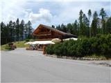 2
2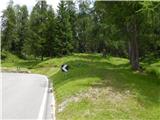 3
3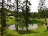 4
4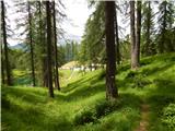 5
5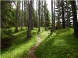 6
6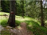 7
7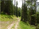 8
8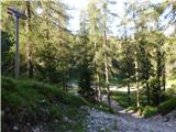 9
9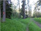 10
10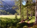 11
11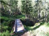 12
12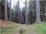 13
13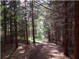 14
14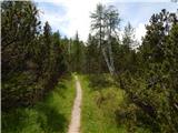 15
15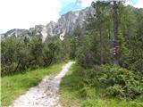 16
16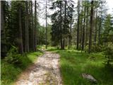 17
17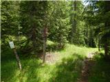 18
18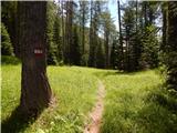 19
19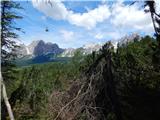 20
20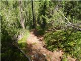 21
21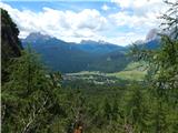 22
22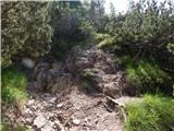 23
23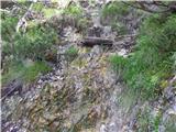 24
24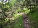 25
25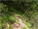 26
26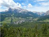 27
27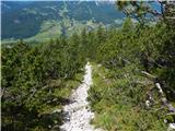 28
28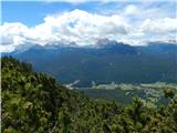 29
29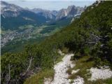 30
30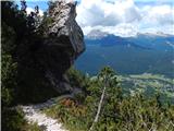 31
31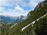 32
32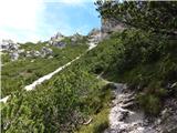 33
33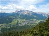 34
34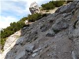 35
35 36
36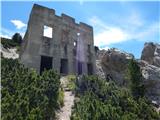 37
37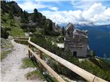 38
38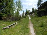 39
39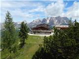 40
40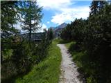 41
41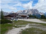 42
42
Discussion about the trip Lago Scin - Rifugio Faloria
To post a comment you must log in:
If you do not yet have a username, you must first
register.