Laufnitzgraben - Schutzhütte Wieseralm
Starting point: Laufnitzgraben (670 m)
| Latitude/Longitude: | 47,32485°N 15,27814°E |
| |
Walking time: 1 h
Difficulty: easy marked way
Elevation gain: 354 m
Elevation difference along the route: 358 m
Map: https://www.bergfex.at
Recommended equipment (summer):
Recommended equipment (winter):
Views: 89
 | 1 person like this post |
Access to starting point:
Highway Maribor-Graz-Salzburg (A9) after a few shorter tunnels outside Graz we leave and continue right on the expressway in the direction of Wien-Bruck/Muhr-Peggau.
We leave the expressway at exit Laufnitzdorf and turn right. On the road, we drive 1 km and immediately behind the bus stop (on the right) we turn right through the settlement Laufnitzdorf.
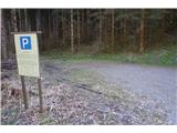
After 200 meters we turn left in the direction of Wieseralm. We drive most of the way on a macadam road and after just over 5 km we arrive at the Laufnitzgraben parking lot.
Parking is permitted between 8:00 and 17:00.
Route description:
From the parking lot, we continue on the macadam road in the direction of Wieseralm.
After approximately one km we turn right. At all subsequent junctions, we follow the nicer (main road) or follow the signs for Wieseralm.
When we arrive below a larger steep meadow, we notice the Wieseralm hut at the top. After one more turn and a few more altitude meters, we arrive at the hut.
The path is easy and technically simple. We overcome the entire elevation gain gradually along the road upwards.
Photos:
 1
1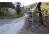 2
2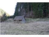 3
3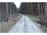 4
4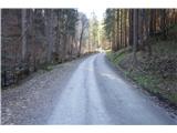 5
5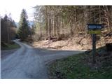 6
6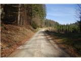 7
7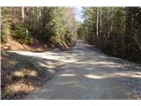 8
8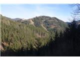 9
9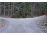 10
10 11
11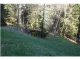 12
12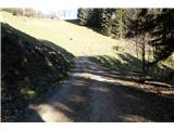 13
13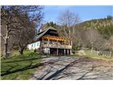 14
14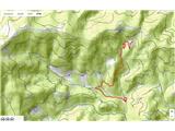 15
15
Discussion about the trip Laufnitzgraben - Schutzhütte Wieseralm
To post a comment you must log in:
If you do not yet have a username, you must first
register.