Laz Bistrički (Plasišče) - Grohot
Starting point: Laz Bistrički (Plasišče) (415 m)
| Latitude/Longitude: | 45,95931°N 16,08989°E |
| |
Walking time: 1 h 15 min
Difficulty: easy marked way
Elevation gain: 84 m
Elevation difference along the route: 150 m
Map:
Recommended equipment (summer):
Recommended equipment (winter):
Views: 112
 | 1 person like this post |
Access to starting point:
Leave the Varaždin–Zagreb motorway at the Popovec exit. Continue on the old road towards Varaždin, but only to the next village of Soblinec, where at the traffic lights we turn towards Marija Bistrica and Kašina (left). We drive through the places Gajec, Vurnovec and Prepuštovec and arrive at the place Kašina. Here at the traffic lights we turn right towards Marija Bistrica.
After ascending the road with two hairpin bends, we arrive in the village Laz Bistrički or its hamlet Plasišče. At the intersection where the road branches left towards the village Sveti Matej, we see the inn Zagorka (at the time of writing the inn was abandoned), next to which there are some parking spaces.
Route description:
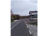
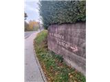
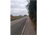
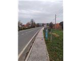
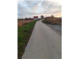
From the parking lot at the abandoned inn Zagorka (status 2026) we head north on the road towards Marija Bistrica, helped by a sign on the wall. The path is initially gentle.
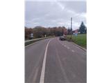
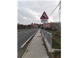
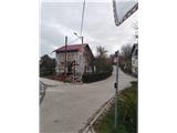
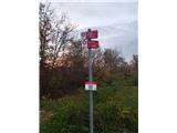
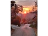
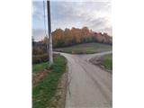
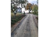
After about half a kilometer we reach a junction with a cross, where we leave the main road and turn right into Vrh street (at the junction mountain signs help us). The path then climbs quite steeply into the hamlet Topolovci, where we notice some interesting wooden homesteads. After a few minutes we reach a junction where the path starts to descend (although at first glance it seems more logical to continue left upwards).
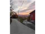
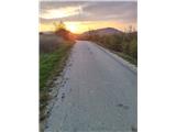
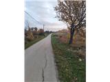
The path therefore descends and then turns east. This section is somewhat less marked, but the path leads us past a few individual homesteads. Ahead we already see the peak Kozelin, and a little more to the right our goal.
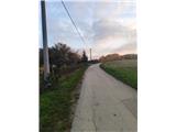
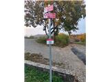
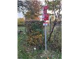
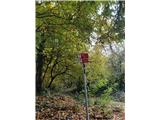
Soon we reach a junction where on a power line pole we see the sign Grohot, which directs us right. Past a few more individual farms we reach the next junction, where paths from the village Podgorje Bistričko and from the peak Kozelin join from the left, and we continue south.
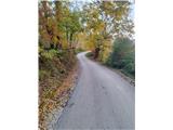
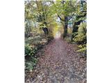
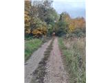
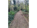
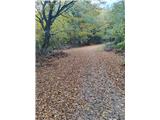
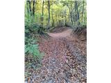
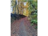
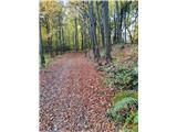
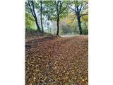
Then we enter a short stretch of forest, followed by a clearing, after which we finally enter dense forest. Soon we reach a larger junction where in the forest we see a feeding station and a hunting observation post, and we continue straight.
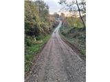
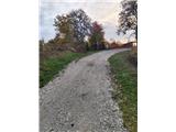
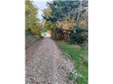
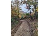
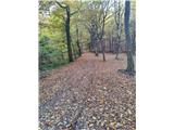
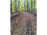
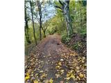
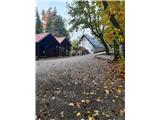
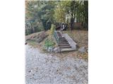
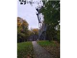
From here the path starts to climb more steeply along a cart track (logging roads), and the markings become somewhat sparser again. After a short steep ascent we reach the parking lot below the hut, where the path along the supply road from the place Blaguša joins. Here we turn sharply right and after the final, quite steep ascent we reach the mountain hut below the summit. Only an ascent up the stairs to the very top remains, where a viewpoint stands, from which despite the relatively low elevation an exceptional view opens to the west and east. To the south a longer view is obstructed by Medvednica, while to the north the view has unfortunately been overgrown by forest.
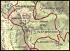
Along the route: Koča Dom pod Grohotm (474m)
Photos:
 1
 2
 3
 4
 5
 6
 7
 8
 9
 10
 11
 12
 13
 14
 15
 16
 17
 18
 19
 20
 21
 22
 23
 24
 25
 26
 27
 28
 29
 30
 31
 32
 33
 34
 35
 36
 37
 38
 39
 40
 41
Discussion about the trip Laz Bistrički (Plasišče) - Grohot
To post a comment you must log in:
If you do not yet have a username, you must first
register.