Laze - Črni vrh above Novaki
Starting point: Laze (850 m)
| Latitude/Longitude: | 46,15130°N 14,07530°E |
| |
Walking time: 2 h
Difficulty: easy unmarked way
Elevation gain: 441 m
Elevation difference along the route: 550 m
Map: Škofjeloško in Cerkljansko hribovje 1:50.000
Recommended equipment (summer):
Recommended equipment (winter):
Views: 6.176
 | 1 person like this post |
Access to starting point:
From Škofja Loka we drive towards Gorenja vas and further to Hotavlje, where we turn right in the direction of the village Leskovica. The road soon brings us to the village Kopačnica, behind which it starts to ascend more steeply and brings us higher to the village Leskovica. From Leskovica we continue towards SC Cerkno, but we follow the road only to the next village Laze, where signs for apartment Ribič and Blegoš direct us to the right towards the mentioned village. We park a good 100 m higher, by the sports field ŠD Gamsi Laze.
Route description:
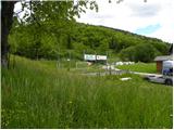
Just a few meters before the sports field we notice the beginning of the marked path which leads to Blegoš. We head onto the mentioned path, which starts moderately ascending on a wide cart track. Higher up, the cart track narrows and passes into a dense forest, where after a few minutes of further walking it brings us to an unmarked junction.
We continue on the left unmarked cart track (slightly right Blegoš), which gradually starts to ascend a bit more steeply. The cart track along which we can notice some old faded markers brings us higher to a lonely homestead. The path ahead crosses a short stretch of forest, then brings us to a grassy slope, on which we quickly ascend to the nearby macadam road. We follow the road to the right, which quickly brings us to some houses. Behind the last house, the road again changes into a cart track, which after a shorter ascent brings us to a smaller junction, where we continue left. There follows a short traverse to the left and the path brings us to the saddle Slugov grič, where we again step onto the marked path.
On the saddle we only cross the forest road and continue the ascent in the direction of Črni vrh. The path ahead first ascends moderately, then quite steeply towards the summit Smoletovše (1300 m). After a short ascent we reach the mentioned summit, and the path then starts moderately descending towards the saddle Pretovč. After a few minutes of descent through sparse forest and "plantations" of blueberries, we reach the mentioned saddle, where we again cross the forest road. We continue the ascent on the marked path, which after a few minutes of further walking brings us to the summit of Črni vrh, on the edge of which we notice an artificial lake intended for snowmaking on the ski area.

Along the route: Slugov grič (1223m), Smoletovše (1300m), Pretovč (1217m)
Photos:
 1
1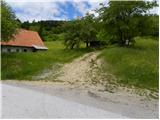 2
2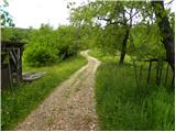 3
3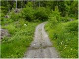 4
4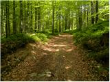 5
5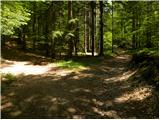 6
6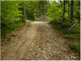 7
7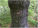 8
8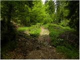 9
9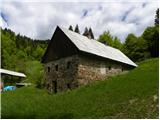 10
10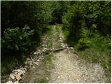 11
11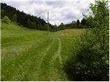 12
12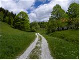 13
13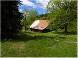 14
14 15
15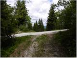 16
16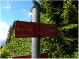 17
17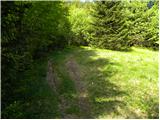 18
18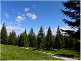 19
19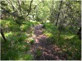 20
20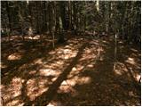 21
21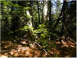 22
22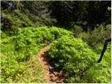 23
23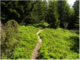 24
24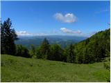 25
25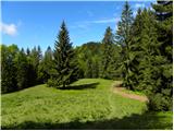 26
26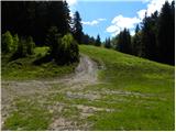 27
27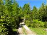 28
28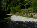 29
29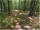 30
30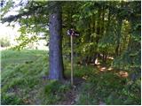 31
31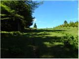 32
32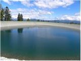 33
33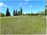 34
34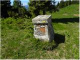 35
35
Discussion about the trip Laze - Črni vrh above Novaki
To post a comment you must log in:
If you do not yet have a username, you must first
register.