Lenart v Slovenskih goricah - Zavrh v Slovenskih goricah
Starting point: Lenart v Slovenskih goricah (263 m)
Starting point Lat/Lon: 46.57754°N 15.83307°E 
Time of walking: 1 h 45 min
Difficulty: easy marked way
Difficulty of skiing: no data
Altitude difference: 107 m
Altitude difference (by path): 225 m
Map:
Access to starting point:
We leave Pomurska highway at exit Lenart v Slov. goricah, if we come from the direction of Maribor, and at exit Sv. Trojica v Slov. goricah, if we come from the direction of Murska Sobota, and then we drive to the center of Lenart, where we park on one of the parking lots.
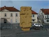
The beginning of described path is by the parish church of St. Lenart at Liberation Square.
Path description:
From the Liberation Square we go on the path in the direction of Zavrh, where we at first walk on a sidewalk, and then we go from the main road right downwards, where we still walk on a sidewalk.
When only a little lower the road turns right it splits.
We continue on the right road by which the blazes continue (straight leads the path on Zavrh, which is marked with local signs - Pot na Zavrh). Next follows some descent, and then we cross the stream Globovnica, and then we ascend also on overpass over the highway. From the overpass follows a short descent, and then we go right on a narrower asphalt path, and at the nearby crossroad, we go once again right. When we get to the settlement Lormanje we go at the chapel left, where we go by few houses, and behind the houses we continue on a cart track which leads us among the fields. When we reach an asphalt road, we go left, and after crossing the river Pesnica we go right. After the bridge the road starts ascending and higher it brings us to the settlement Zgornja Voličina, where we go left, and at the chapel we go once again left. Next follows some descent and also a shorter easy ascent, and then we start descending towards the settlement Spodnja Voličina, which we reach at the cemetery.
At the end of the cemetery we go right, and in the middle of the settlement Spodnja Voličina we go left. Next follows a very short easy descent, and then we start ascending. At the end of the settlement, we go left, on an almost unnoticeable footpath, on which blazes point us to. Next follows a diagonal ascent a little below the road, and the path which leads us on a grassy slope higher crosses an asphalt road. The path ahead leads us on a cart track which passes into the forest, and at few crossings we follow the blazes. Further we are shorter time ascending diagonally towards the left, and when we get to the fence, the path turns right and steeply ascends by the fence. When the ascent ends we reach the road, and we go left and we walk to the nearby lookout tower on Zavrh.
Description and pictures refer to a condition in February 2023.
On the way: Lormanje (239m), Zgornja Voličina (287m), Spodnja Voličina (286m)
Pictures:
 1
1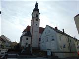 2
2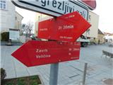 3
3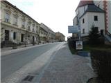 4
4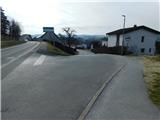 5
5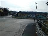 6
6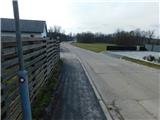 7
7 8
8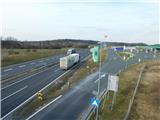 9
9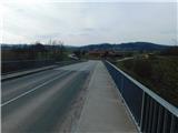 10
10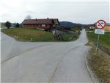 11
11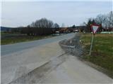 12
12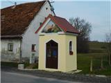 13
13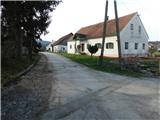 14
14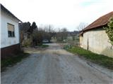 15
15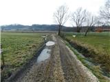 16
16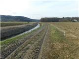 17
17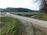 18
18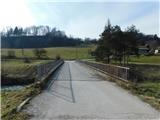 19
19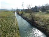 20
20 21
21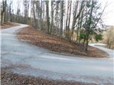 22
22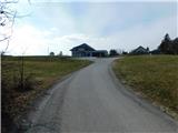 23
23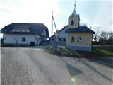 24
24 25
25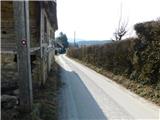 26
26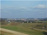 27
27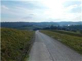 28
28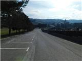 29
29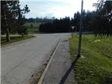 30
30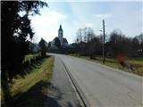 31
31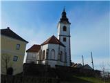 32
32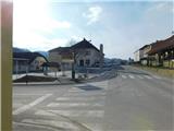 33
33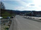 34
34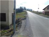 35
35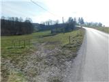 36
36 37
37 38
38 39
39 40
40 41
41 42
42 43
43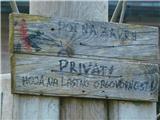 44
44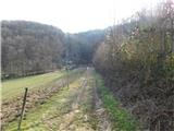 45
45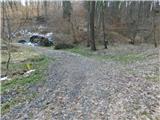 46
46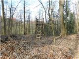 47
47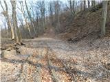 48
48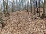 49
49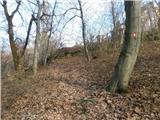 50
50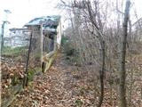 51
51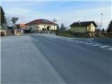 52
52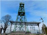 53
53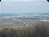 54
54