Leše - Koča na Naravskih ledinah (via Kot pri Prevaljah)
Starting point: Leše (537 m)
| Latitude/Longitude: | 46,53040°N 14,90340°E |
| |
Route name: via Kot pri Prevaljah
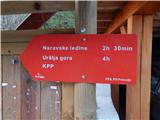
Walking time: 2 h 40 min
Difficulty: easy marked way
Elevation gain: 535 m
Elevation difference along the route: 615 m
Map: Koroška 1:50.000
Recommended equipment (summer):
Recommended equipment (winter): ice axe, crampons
Views: 649
 | 1 person like this post |
Access to starting point:
From Mežica, the border crossing Holmec or Ravne na Koroškem, we drive to Prevalje, from where we continue driving towards the settlement Leše. When we arrive in Leše, we continue sharply left in the direction of Uršlja gora, and then we park on the parking lot near the branch primary school.
Route description:
From the starting point, we continue in the direction of Uršlja gora, Naravske ledine and KPP (Koroška planinska pot) and at first we still walk on an asphalt road which leads us past a few houses. From the asphalt road, we soon go right onto a macadam road in the direction of Uršlja gora as well as Pačnik and Streha. At the last house, we go left onto a cart track which starts to ascend across a panoramic meadow. Higher up, we reach another macadam road, which we follow to the left; along it we walk past individual farms, and at crossroads we follow the signs for KPP or Naravske ledine.
At the Pečnik farm we continue straight ahead, at the next farm Ravnjak we go slightly right onto a marked cart track. The cart track first crosses a panoramic meadow, and when it enters the forest, it starts to descend transversely and soon reaches a macadam road, which we follow uphill. The road soon turns left, where it crosses the stream Barbarski graben; there on the left we notice ranch H₂O, a few steps further on the right a turn-off of a marked path. We continue on the marked cart track, which higher returns to the road and makes a left serpentine. After the serpentine the path leads us across a steep and panoramic slope, from which a nice view opens towards Košenjak and Golica. The road then also leads past the climbing area Vranske peči and the turn-off of the path to bivouac Suška bajta, then soon after crossing the torrent we leave it and continue on a marked path. This is followed by an ascent through the forest, where we cross a smaller cart track; when we reach the cart track for the second time, we follow it to the left. Here the slope flattens, and after crossing a pasture fence we enter a pasture, where the trail fades; we continue along the left edge of the forest. After the hunting observatory the path turns slightly left and ascends to Obretanovo, where there are some buildings, including the Taborniški dom roda koroških jeklarjev Obretanovo.
We continue along the road which after the barrier brings us to a marked junction, where we take the second path to the right, onto the path that ascends and does not descend, next to which we notice the inscription Godec. The path ahead leads us without major ascents and descents and quickly brings us to a road where the path forks, but the junction is not particularly marked.
We continue right along the forest road (straight ahead on the ascending cart track to farm Godec and Uršlja gora over Kozji hrbet), from which the signs for Naravske ledine soon direct us left uphill onto a footpath, which we then follow by the blazes. When walking along the cart track that crosses slopes, we must before its end continue right downhill and then cross the slopes along the mountain path. This is followed by a short crossing of steeper slopes, after which we descend back onto the forest road via steps made of logs (to here we can also walk along the forest road). We soon leave the road again, from which a temporary view opens up, and continue left onto the path that across a smaller hill "cuts" a somewhat longer road bend.
Just before we return to the road, which we then only cross, a marked path from Ravne na Koroškem also joins us from the left. On the other side of the road we briefly continue through the forest, then the path leads along the lower part of the meadow, where we join the path from Žerjav.
From the junction we still continue along the right edge of the meadow, then after 5 minutes of moderate ascent we walk to the Koča na Naravskih ledinah.

Along the route: Kot pri Prevaljah (688m), Taborniški dom roda koroških jeklarjev Obretanovo (1040m)
Photos:
 1
1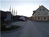 2
2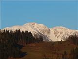 3
3 4
4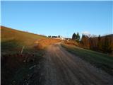 5
5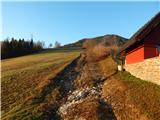 6
6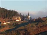 7
7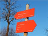 8
8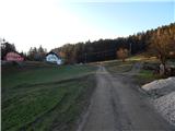 9
9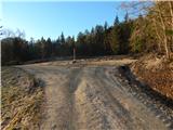 10
10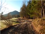 11
11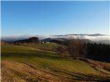 12
12 13
13 14
14 15
15 16
16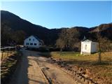 17
17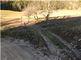 18
18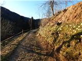 19
19 20
20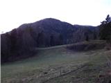 21
21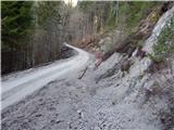 22
22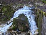 23
23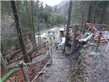 24
24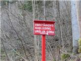 25
25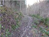 26
26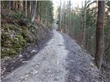 27
27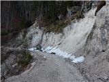 28
28 29
29 30
30 31
31 32
32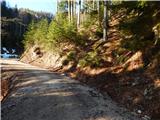 33
33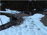 34
34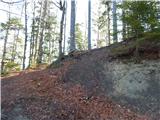 35
35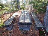 36
36 37
37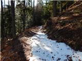 38
38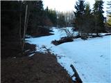 39
39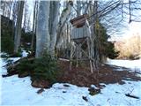 40
40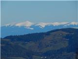 41
41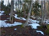 42
42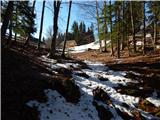 43
43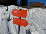 44
44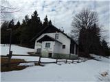 45
45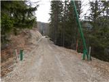 46
46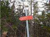 47
47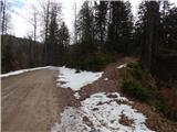 48
48 49
49 50
50 51
51 52
52 53
53 54
54 55
55 56
56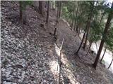 57
57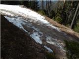 58
58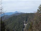 59
59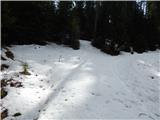 60
60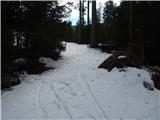 61
61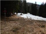 62
62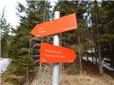 63
63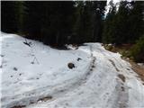 64
64 65
65 66
66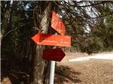 67
67 68
68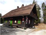 69
69
Discussion about the trip Leše - Koča na Naravskih ledinah (via Kot pri Prevaljah)
To post a comment you must log in:
If you do not yet have a username, you must first
register.