Leše - Volinjak (via Hermanko)
Starting point: Leše (530 m)
| Latitude/Longitude: | 46,53060°N 14,89600°E |
| |
Route name: via Hermanko
Walking time: 1 h 5 min
Difficulty: easy marked way
Elevation gain: 356 m
Elevation difference along the route: 356 m
Map: Koroška 1:50.000
Recommended equipment (summer):
Recommended equipment (winter): ice axe, crampons
Views: 838
 | 1 person like this post |
Access to starting point:
From Mežica, the Holmec border crossing or Ravne na Koroškem, we drive to Prevalje, from where we continue driving towards the settlement Leše. When we arrive in Leše, we drive to ŠD Leše, where we park at a suitable place.
Route description:
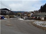
From the sports field we continue on the asphalt road which ascends through the village. At the crossings, we follow the road on slightly left turn-offs; when the asphalt ends, we continue left on a cart track which ascends on a panoramic grassy slope. The cart track then continues for some time below or along the route of a high-voltage power line, higher it turns right and brings us past a smaller hamlet to the inscription box and a few steps further to both Leše churches.
In front of the churches we continue left on a footpath which higher passes into the forest, then after a shorter ascent joins a macadam road. On the road we lightly ascend and already after a few tens of meters we arrive at a marked crossroad, where we continue on the slightly left road in the direction of Volinjak and the path to the "skrivnostni svet Žal žen" (right Prapar and Stovčnik). The path ahead first continues through the forest, then past a watering place and along an ample pasture. A little higher the road brings us to a smaller hamlet at the farm Hermanko, where on one of the buildings we notice the caption Volinjak, which points right, but we still continue on the road, which we leave at the crossroad a few minutes away, by which there is a bigger built chapel.
From the crossroad we continue right on the path in the direction of Volinjak, where the path first leads across hay meadows, then gradually passes into the forest. Through the forest we follow the yellow arrows or lines, and on a quite steep path in a few minutes of further walking we reach the summit of Volinjak, on which there is an inscription box.
Leše - Leše churches 25 minutes, Leše churches - Volinjak 40 minutes.
Description and pictures refer to the condition in the year 2017 (February).

The trip can be extended to the following destinations: Andrejev vrh
Photos:
 1
1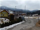 2
2 3
3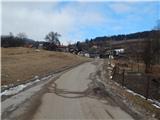 4
4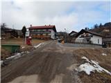 5
5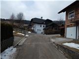 6
6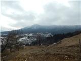 7
7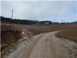 8
8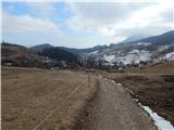 9
9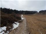 10
10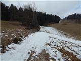 11
11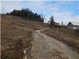 12
12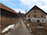 13
13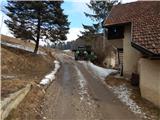 14
14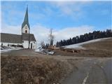 15
15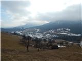 16
16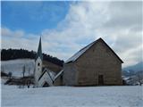 17
17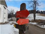 18
18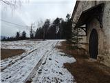 19
19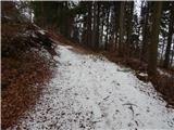 20
20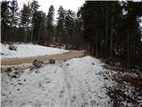 21
21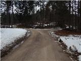 22
22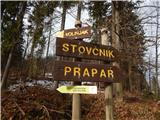 23
23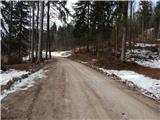 24
24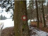 25
25 26
26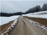 27
27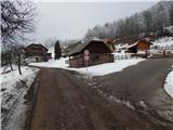 28
28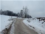 29
29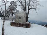 30
30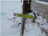 31
31 32
32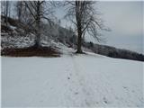 33
33 34
34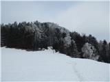 35
35 36
36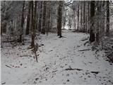 37
37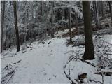 38
38 39
39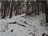 40
40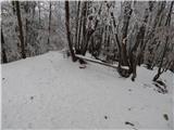 41
41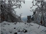 42
42 43
43
Discussion about the trip Leše - Volinjak (via Hermanko)
To post a comment you must log in:
If you do not yet have a username, you must first
register.