Lesično - Debeli vrh (Bohor)
Starting point: Lesično (311 m)
| Latitude/Longitude: | 46,10160°N 15,51930°E |
| |
Walking time: 1 h 45 min
Difficulty: easy marked way
Elevation gain: 610 m
Elevation difference along the route: 610 m
Map: Posavsko hribovje Boč - Bohor 1:50.000
Recommended equipment (summer):
Recommended equipment (winter):
Views: 2.595
 | 3 people like this post |
Access to starting point:
A) Exit Dramlje on the highway and through Šentjur to Lesično
B) From the direction of Podčetrtek through Golobinjek, Virštanj to Lesično.
C) From the direction of Bistrica ob Sotli, Podsreda and Kozje to Lesično
D) From the direction of Brestanica, Senovo, Podsreda and Kozje to Lesično.
Route description:
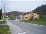
In the settlement Lesično, where we park at the beginning of the trail near the bridge over the stream Bistrica. The hiking trail is in a larger part also the XIV Division trail. The trail leads on forest paths and roads. It is excellently marked. The trail is easy.
Photos:
 1
1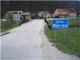 2
2 3
3 4
4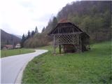 5
5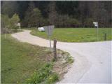 6
6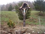 7
7 8
8 9
9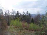 10
10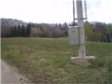 11
11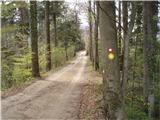 12
12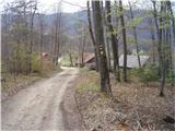 13
13 14
14 15
15 16
16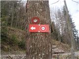 17
17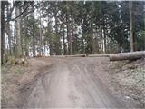 18
18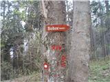 19
19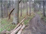 20
20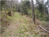 21
21 22
22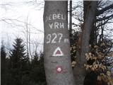 23
23
Discussion about the trip Lesično - Debeli vrh (Bohor)
To post a comment you must log in:
If you do not yet have a username, you must first
register.