Starting point: Letuš (337 m)
| Latitude/Longitude: | 46,31500°N 15,02090°E |
| |
Walking time: 3 h
Difficulty: easy marked way
Elevation gain: 533 m
Elevation difference along the route: 760 m
Map: Kamniške in Savinjske Alpe 1:50.000
Recommended equipment (summer):
Recommended equipment (winter):
Views: 4.102
 | 1 person like this post |
Access to starting point:
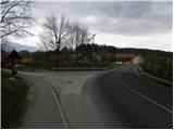
From the highway Ljubljana - Maribor we go to the exit Šentrupert, and then we continue driving in the direction of Mozirje and Logarska Valley. On the main road we drive to the village Letuš, and here just before the main road crosses the river Savinja we turn left and then immediately once again left. We park a few 10 meters higher on the parking lot below the church or by the home of the Letuš singing society.
Route description:
From the parking lot, we continue on the road which soon ends, and then we continue on a marked cart track which passes into the forest. We continue through the forest and in doing so because of numerous forks we carefully follow the blazes, so as not to stray from the right path. Initially a quite gently sloping path, then it moderately ascends and brings us to the farm Ujčnik. Here we continue right and then immediately after the house left on the path which ascends by the grazing fence. The path ahead leads through the forest, and it starts ascending a little steeper. After a few minutes of moderate ascent, the path brings us on an asphalt road, where we join the path from Braslovško jezero.
We only cross the road and continue the ascent on a ladder, which helps us at the steep ascent, and then we continue the ascent through the forest. The path ahead leads us past a bench, behind which we are soon again on the road. We follow the road to the left, and we walk on it only a few meters, then we continue right on a footpath which soon again crosses the road. The path ahead leads us through a shorter, partly overgrown clearing, from which a view opens up on Bezovec. Higher up we continue on the road for a few minutes, then on a marked shortcut we ascend to Covnikov križ.
Here we continue right (straight Bezovec 15 minutes) and at the smaller crossroad again right. We continue on a panoramic asphalt road, on which in a few minutes of light descent we arrive at Dom na Dobrovljah.
At the hut we leave the asphalt road and continue on a macadam road in the direction of Čreta. The road quickly brings us to a smaller hamlet, where we continue right, then behind the houses we continue on a cart track in the direction of Čreta. The well-marked cart track starts descending over at first still scenic slope, then passes into a strip of forest, where it also crosses a macadam road. A gentle ascent follows to the nearby farm Kokovnik, then we walk to the nearby chapel. At the chapel the path goes into the forest, then after a short descent it joins an asphalt road. On the road we moderately ascend for some time, then the path from Nazarje and Mozirje joins us. Here we continue straight and ascend on the road to a marked crossroad.
At the crossroad we continue sharply left in the direction of the footpath to Čreta (straight Čreta access by car). We continue on the forest road which along the edge of a meadow brings us to the next crossroad.
This time we continue right (left sv. Janez and Pavel and Grmada) and past the farm Križnik we return to the main road, which we reach near the crossroad.
We continue on the right road (straight Žovneško jezero), which we follow only a few 10 steps, since then the signs for Čreta direct us left onto a marked cart track. The path ahead for some time gently to moderately ascends, then brings us to the next NOB monument, behind which the path gradually starts to descend. After a short descent we come to a smaller hamlet, which the marked path bypasses on the left side, then in a moderate ascent over an increasingly scenic slope we ascend to the church of the Holy Mother of God.
Behind the church we continue slightly left (sharply left Vrhe, slightly right church of St. Katarina), we cross a narrow strip of forest, then we start descending towards Dom na Čreti, which we reach after a few minutes of descent.

Photos:
 1
1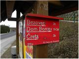 2
2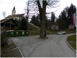 3
3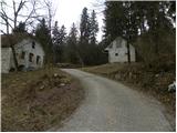 4
4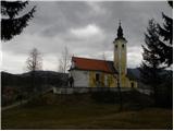 5
5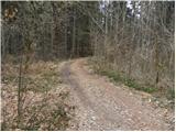 6
6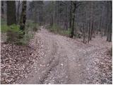 7
7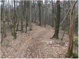 8
8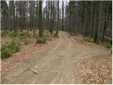 9
9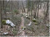 10
10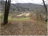 11
11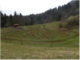 12
12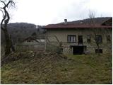 13
13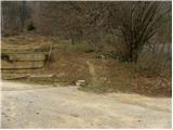 14
14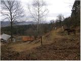 15
15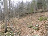 16
16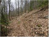 17
17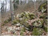 18
18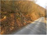 19
19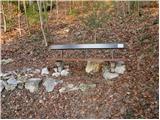 20
20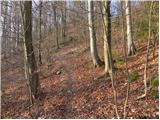 21
21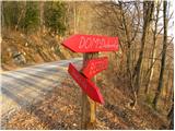 22
22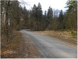 23
23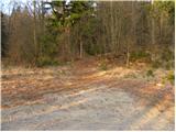 24
24 25
25 26
26 27
27 28
28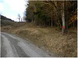 29
29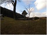 30
30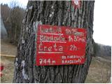 31
31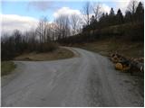 32
32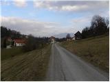 33
33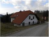 34
34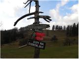 35
35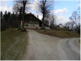 36
36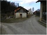 37
37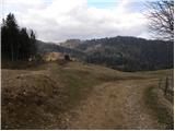 38
38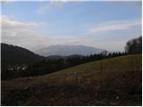 39
39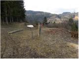 40
40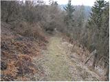 41
41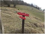 42
42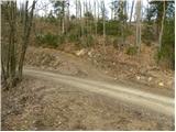 43
43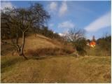 44
44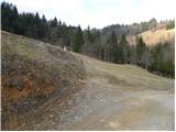 45
45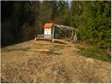 46
46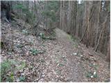 47
47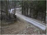 48
48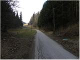 49
49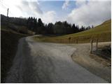 50
50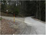 51
51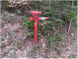 52
52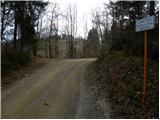 53
53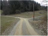 54
54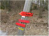 55
55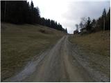 56
56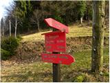 57
57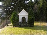 58
58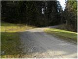 59
59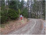 60
60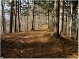 61
61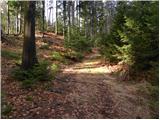 62
62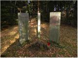 63
63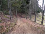 64
64 65
65 66
66 67
67 68
68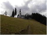 69
69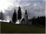 70
70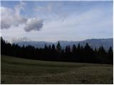 71
71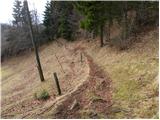 72
72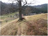 73
73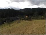 74
74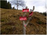 75
75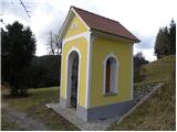 76
76 77
77 78
78
Discussion about the trip Letuš - Dom na Čreti
To post a comment you must log in:
If you do not yet have a username, you must first
register.