Starting point: Liboje (350 m)
Walking time: 3 h
Difficulty: easy marked way
Elevation gain: 740 m
Elevation difference along the route: 800 m
Map: Posavsko hribovje - zahodni del 1:50.000
Recommended equipment (summer):
Recommended equipment (winter): ice axe, crampons
Views: 6.766
 | 1 person like this post |
Access to starting point:
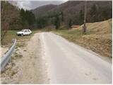
From the highway Ljubljana - Maribor, we go to the exit Žalec and then we drive towards Arja vas. At the crossroad at the end of the village, we continue straight in the direction of Liboje. Soon after the sign that marks the end of the village Liboje, we will notice by the road a mountain signpost for Liboje. Next, we drive a few hundred meters to a smaller parking lot by the road, where the footpath to Šmohor and Malič begins. The beginning of the footpath isn't marked (if we drove to the water source Ramšak, we are already too far).
Route description:
From the starting point, we turn left onto a footpath that moderately ascends through a meadow. After a few minutes of the ascent, the path crosses the macadam road, where we for the first time notice a mountain signpost for Šmohor. The path then ascends to the top of a meadow, after which it goes into the forest and after an additional few minutes of walking brings us to a forest road, where we continue straight upwards in the direction of Šmohor. The path, which still runs through the forest, is becoming increasingly steep. After a good half an hour of walking, the steepness decreases and the path brings us to a cart track. From the cart track, soon signs for Šmohor point us to the left onto the path, which after the next short ascent brings us to the forest road, where we continue right towards Šmohor. After a few meters of a light descent, a marked footpath branches off to the left to Malič. Here as well, we continue right, at first on the road, and then on a footpath which quickly brings us to the mountain hut Dom na Šmohorju.
From Dom na Šmohorju we continue in the direction of Kal, Mrzlica and Gozdnik. The path ahead at first crosses a larger meadow, and then passes into a strip of forest, through which it descends to the nearby road. When we step on the road, we continue in the same direction, and we walk along it to the spot where it splits into two parts. This time we continue on the left road, on which in a few dozen strides we get to the church of St. Mohor.
From the church, by which there grow numerous old linden trees, we descend on a marked hiking path, which soon returns to a macadam road. We continue on the road which on the right side bypasses the peak Pernice, and then it starts moderately descending and brings us to a marked crossroad. From the crossroad, we go in the direction of Kal and Mrzlica and we continue on a somewhat narrower macadam road which past a religious symbol and a spring brings us to the next crossroad, where we continue straight. The road then flattens and after a few dozen meters brings us to the spot where signs for Kal, Mrzlica and Gozdnik point us to the right onto an ascending cart track. The path ahead leads us past the NOB monument, after which we soon get to the next crossing. This time we continue right in the direction of Gozdnik (slightly left downwards to Mrzlica), and we continue on the cart track to the spot where the forest gets a little thinner. Here a narrower cart track branches off to the right, by which we soon notice blazes, and it gradually changes into a footpath. The path ahead for a short time steeply ascends, and then it flattens and gradually brings us to the ridge of Mali Gozdnik. Next follows a walk on at first a gentle ridge, and then the path steeply ascends and quickly brings us to an indistinct peak of Mali Gozdnik.
Next follows a short descent and the path brings us to a small saddle between both peaks of Gozdnik. The path ahead gradually starts to ascend steeper and steeper, and it leads us along a relatively steep ridge that is mainly dangerous for slipping when wet. The path higher flattens and in a few minutes of additional walking brings us to the summit, in the middle of which there is a wooden bivouac.

Photos:
 1
1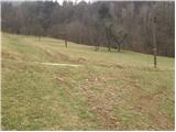 2
2 3
3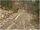 4
4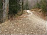 5
5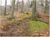 6
6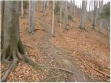 7
7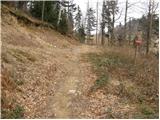 8
8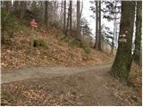 9
9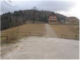 10
10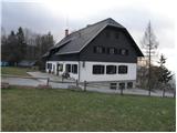 11
11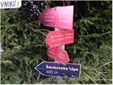 12
12 13
13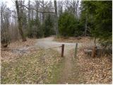 14
14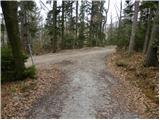 15
15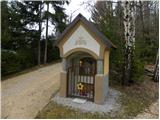 16
16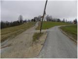 17
17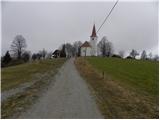 18
18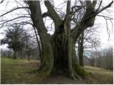 19
19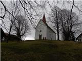 20
20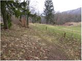 21
21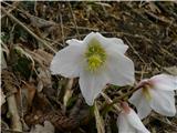 22
22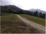 23
23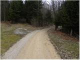 24
24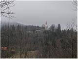 25
25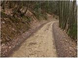 26
26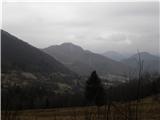 27
27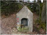 28
28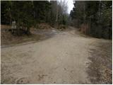 29
29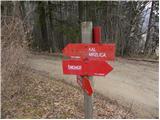 30
30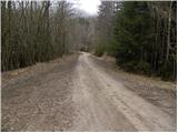 31
31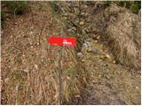 32
32 33
33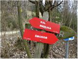 34
34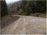 35
35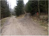 36
36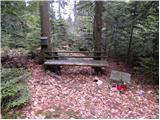 37
37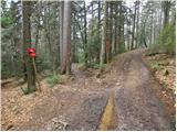 38
38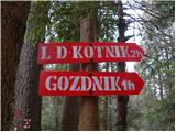 39
39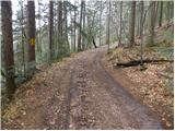 40
40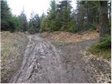 41
41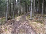 42
42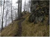 43
43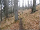 44
44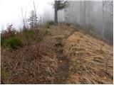 45
45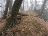 46
46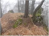 47
47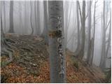 48
48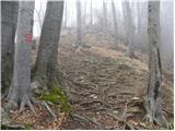 49
49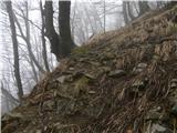 50
50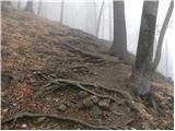 51
51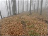 52
52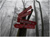 53
53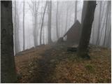 54
54 55
55
Discussion about the trip Liboje - Gozdnik
To post a comment you must log in:
If you do not yet have a username, you must first
register.