Starting point: Lipa (721 m)
| Latitude/Longitude: | 46,26140°N 14,89370°E |
| |
Walking time: 55 min
Difficulty: easy marked way
Elevation gain: 281 m
Elevation difference along the route: 281 m
Map: Zgornja Savinjska dolina 1:50.000
Recommended equipment (summer):
Recommended equipment (winter): ice axe, crampons
Views: 7.861
 | 1 person like this post |
Access to starting point:
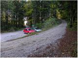
From the highway Ljubljana - Celje we take the exit Vransko. We continue driving on the old road in the direction of Ljubljana, but only to the place where the road towards Vransko branches off to the right. On the west side of Vransko we will notice a road which goes towards the village Prapreče and Vologa. We follow the road that then starts to ascend more steeply through the village Vologa to the saddle Lipa, where we park on one of the parking areas.
Access from Zadrečka Valley is also possible.
Route description:
From the parking lot, we head onto a macadam road in the direction of Smolnik and Menina planina. The moderately steep road, which runs through the forest the whole time, brings us after a good 10 minutes of walking to a marked junction, where we continue left. The road ahead flattens slightly, then continues crossing the slopes of Smolnik. After a while we will notice signs for Smolnik by the road, which direct us sharply right onto a cart track that is quite overgrown in summer. We follow the mentioned cart track for a few dozen steps, then the markers direct us left onto a steep footpath, which further ascends along and beside an indistinct ridge. Higher up the path flattens, then in a few minutes of further walking brings us to the forest-covered summit of Smolnik.
Photos:
 1
1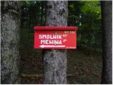 2
2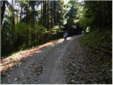 3
3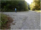 4
4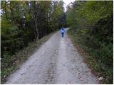 5
5 6
6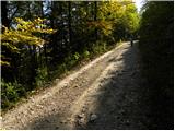 7
7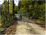 8
8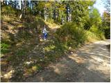 9
9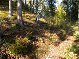 10
10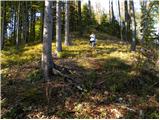 11
11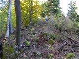 12
12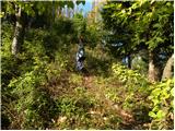 13
13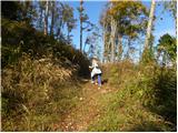 14
14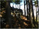 15
15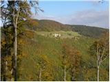 16
16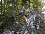 17
17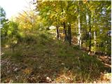 18
18 19
19
Discussion about the trip Lipa - Smolnik
To post a comment you must log in:
If you do not yet have a username, you must first
register.