Starting point: Livške Ravne (1115 m)
| Latitude/Longitude: | 46,19390°N 13,62810°E |
| |
Walking time: 15 min
Difficulty: easy marked way
Elevation gain: 78 m
Elevation difference along the route: 78 m
Map: Julijske Alpe - zahodni del 1:50.000
Recommended equipment (summer):
Recommended equipment (winter):
Views: 4.284
 | 1 person like this post |
Access to starting point:
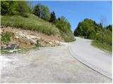
From the road Tolmin - Bovec, at the settlement Idrsko we turn onto the road in the direction of the village Livek. Further, we drive on an ascending road to the mentioned village, and there at the intersection we turn left towards Livške Ravne. From Livške Ravne we drive a little further and then on a somewhat larger parking lot, by which there is also a table with two benches, we park.
Route description:
From the parking lot, we continue on the asphalt road, and from there after about 10 meters we turn right onto a macadam road, on which in a few minutes we walk to the information board, where we also join the marked path, which comes from the Italian side. The road, which from here on becomes asphalted, we follow for a very short time, and then signs for the Walk of Peace (pot miru) and the peak Nagnoj point us sharply left onto an ascending footpath. The path soon turns to the right, and then in a diagonal ascent quickly brings us to the summit of Nagnoj.
Photos:
 1
1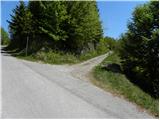 2
2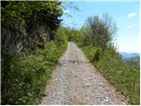 3
3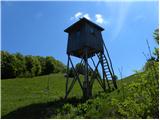 4
4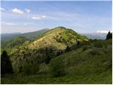 5
5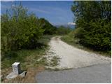 6
6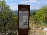 7
7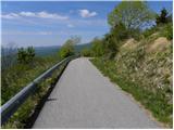 8
8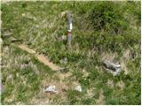 9
9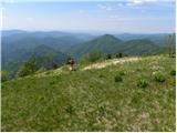 10
10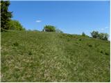 11
11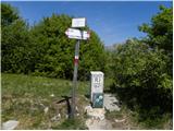 12
12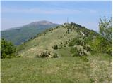 13
13
Discussion about the trip Livške Ravne - Nagnoj
To post a comment you must log in:
If you do not yet have a username, you must first
register.