Ljubelj - Spodnji Plot (športna zelo zahtevna ferata)
Starting point: Ljubelj (1058 m)
| Latitude/Longitude: | 46,43240°N 14,26020°E |
| |
Route name: športna zelo zahtevna ferata
Walking time: 2 h 15 min
Difficulty: extremely difficult marked way
Via ferrata: E
Elevation gain: 624 m
Elevation difference along the route: 630 m
Map: Karavanke - osrednji del 1:50.000
Recommended equipment (summer): helmet, self belay set
Recommended equipment (winter): helmet, self belay set, ice axe, crampons
Views: 27.510
 | 7 people like this post |
Access to starting point:
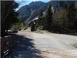
We drive to the border crossing Ljubelj, where before the tunnel we turn left towards Zelenica. Then we drive across a small bridge, and then we park on a large parking lot.
Route description:
At the beginning of the parking lot, the signposts for Stol, Vrtača and Dom na Zelenici point us on a wide cart track which starts ascending by the torrent. When a little higher the cart track turns left, we continue straight on the mountain path which continues through the forest and soon returns to the cart track. The cart track a little higher turns right and brings us out of the forest on the ski track of the former ski slope Zelenica. Next follows a short steeper ascent on the ski slope, and then the path flattens and leads us by the foot of the scree below Begunjščica.
From the marked path soon a path which runs on a transport road branches off to the right, and we continue on the "road" to the nearby Koča Vrtača hut.
At the mountain hut, the road turns right, and we continue straight in the direction of the mountain path to Zelenica. For a short time we continue below the former one-seater chairlift Zelenica II, and then the path starts ascending steeper on a slope, which is partly overgrown by dwarf pines. After a few hairpin turns, we return to the transport road, on which we continue with a view towards the gully Šentanski plaz.
The path ahead leads us on slopes of Spodnji Plot (peak, on which they made a sport climbing path), after that from the road we turn right on a footpath which cuts a longer turn. When we return to the road we are already at the upper station of the former one-seater chairlift Zelenica II, and to the Dom na Zelenici hut only a few steps of descent separate us.
From the Dom na Zelenici hut we continue right towards the northeast and we follow the signs, which lead us towards the starting point of climbing paths. At first, we walk on grassy slopes where the footpath is not well visible and then we come to steeper slopes on the south side of Spodnji Plot. Next follows crossing of the steep slopes, which quickly brings us to the starting point of climbing paths.
At the starting point, we equip ourselves with a self-belay set, a helmet and climbing gloves. It is also recommended to use an additional short rope for easier resting and climbing shoes.
The climbing path at first ascends diagonally along the steel cable (difficulty up to B/C) and then turns to the left and becomes significantly more demanding. Next follows an ascent over a vertical pillar (difficulty D), which brings us to a fork.
Left leads an easier path (learning secured climbing path), right the harder one (sport very demanding ferrata). If we decide for the harder path we continue to the right and a few meters with the help of the steel cable we cross a vertical wall. Next follows a very demanding vertical ascent on a smooth wall (difficulty E). After that, the path crosses the wall to the left (difficulty D) and then again ascends right upward (difficulty D/E). This is followed by a shorter overhang ascent (difficulty E). The difficulty then slightly decreases and further the path for some time crosses the slope to the right (difficulty B/C). In the last part, the path turns to the left and then follows the final slightly overhanging ascent (difficulty E). The secured path then ends, and to the top there are only a few steps of walking.
We descend on an undemanding path to the northwest side towards the Dom na Zelenici hut.
The described path is extremely demanding and is currently the only such demanding path in Slovenia. The path is suitable only for climbers and experienced mountaineers who are well physically prepared because for the ascent great arm strength is needed.
The altitude difference of the climbing part is 90 meters, estimated climbing time 45 minutes.

Photos:
 1
1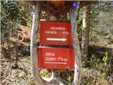 2
2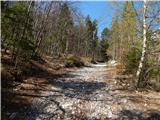 3
3 4
4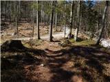 5
5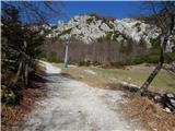 6
6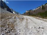 7
7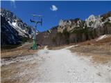 8
8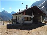 9
9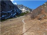 10
10 11
11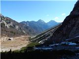 12
12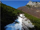 13
13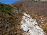 14
14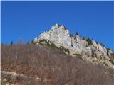 15
15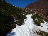 16
16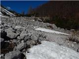 17
17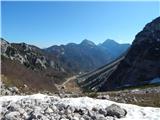 18
18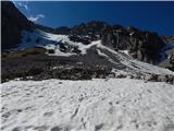 19
19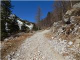 20
20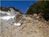 21
21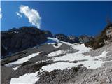 22
22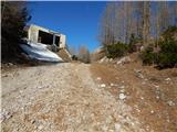 23
23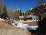 24
24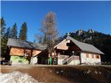 25
25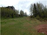 26
26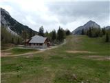 27
27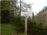 28
28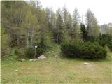 29
29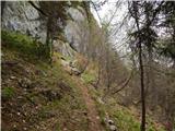 30
30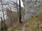 31
31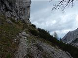 32
32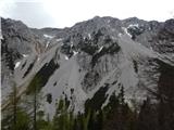 33
33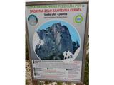 34
34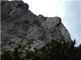 35
35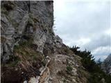 36
36 37
37 38
38 39
39 40
40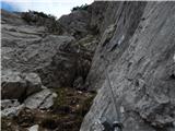 41
41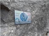 42
42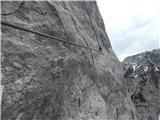 43
43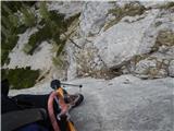 44
44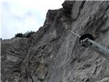 45
45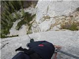 46
46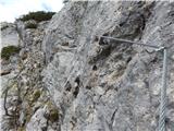 47
47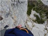 48
48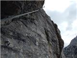 49
49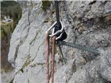 50
50 51
51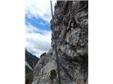 52
52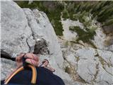 53
53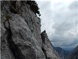 54
54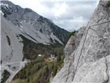 55
55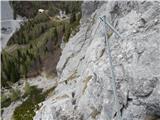 56
56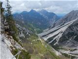 57
57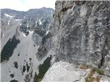 58
58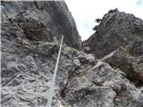 59
59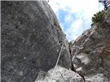 60
60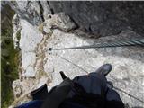 61
61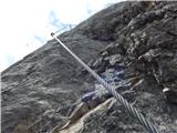 62
62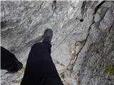 63
63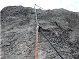 64
64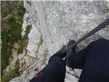 65
65 66
66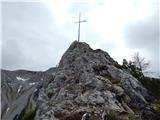 67
67 68
68 69
69 70
70 71
71
Discussion about the trip Ljubelj - Spodnji Plot (športna zelo zahtevna ferata)
|
| don kihott9. 06. 2017 |
All super nice pictures; but pic 66: walking on the anchor pins really isn't necessary as there's a bypass ledge for photos and rest
|
|
|
|
| fico19. 09. 2020 |
Today super conditions for climbing, pleasantly warm, rock dry, and I even had a climbing partner.
|
|
|
|
| MinasTirith21. 06. 2023 09:56:07 |
Yesterday 20.6.2023 was on the via ferrata. Weather was warm, wall dry. Used climbing shoes and gloves with good grip (also applied liquid magnesia on gloves). I have to say, no problems while climbing. Pity the via ferrata is so short  . .
Otherwise the ambience at Zelenice is wonderful...rests body and soul.
|
|
|
|
| Nodi12320. 09. 2025 15:47:10 |
Before this via ferrata, I climbed the Jerm'n via ferrata and the one at Češko koča, whose most difficult sections are comparable in difficulty to most of the Spodnji Plot via ferrata. If you had no serious problems with those sections and have at least some stamina and arm strength, you are ready for Spodnji Plot. But if you get stuck already on the first D section (before the fork of both paths), I still recommend taking the easier route.
|
|
|
To post a comment you must log in:
If you do not yet have a username, you must first
register.