Ljubenske Rastke (Kumprej) - Dom na Smrekovcu
Starting point: Ljubenske Rastke (Kumprej) (782 m)
| Latitude/Longitude: | 46,39930°N 14,87290°E |
| |
Walking time: 1 h 40 min
Difficulty: easy marked way
Elevation gain: 593 m
Elevation difference along the route: 600 m
Map: Kamniške in Savinjske Alpe 1:50.000
Recommended equipment (summer):
Recommended equipment (winter): ice axe, crampons
Views: 2.160
 | 1 person like this post |
Access to starting point:
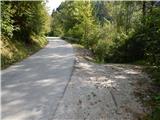
From Mozirje, Gornji Grad or Luče we drive to Ljubno ob Savinji, from there we follow the signs for Smrekovec. Through Ljubno ob Savinji we first drive on the occasionally narrower Cesta v Rastke, at the crossroads among houses we follow the signs for Smrekovec. After the settlement the road widens, and then it mostly gently and moderately ascends to Ljubenske Rastke, from here on it gradually becomes narrower and steeper. A little before the NOB memorial a path branches off to the right, which leads past the farm Atelšek. We park in an appropriate place by the road between the turn-off of the marked path and the NOB memorial.
Route description:
A little lower from the NOB monument, signs for the farm Atelšek and Dom na Smrekovcu point us to the right, at first a little downwards on a worse road on which we quickly descend to the stream Krumpah, which we cross over a wooden bridge. Soon after the bridge a shorter road branches off to the left towards the nearby house, and here we continue straight and turn sharply left at the next crossing of cart tracks. Next follows a diagonal ascent towards the left, and then we soon reach the right hairpin turn. After the hairpin turn the cart track gradually becomes more overgrown, and when we get to the bottom edge of the nearby meadow we continue sharply left. When the forest ends, we continue on an indistinct grassy ridge, where there is no path, but higher at the chapel we run into blazes. Behind the chapel we get to the farm Atelšek, which we bypass on the left side, where the access road runs. From the road we soon go slightly right on a marked cart track, which a little further crosses the asphalt road. On the other side of the road we first ascend over a panoramic slope, and then the path passes into the forest and ascends diagonally towards the right on the cart track. When a little ahead we reach the other macadam road, we cross it towards the right (if we continue straight we soon notice old blazes - old path, which higher reaches the road that leads to Dom na Smrekovcu), where we follow the marked path, by which there are next to the old also newer blazes. Higher we reach the road that leads towards Dom na Smrekovcu and follow it to the left. A few minutes higher the already mentioned old path joins us from the left, and the road then brings us to a crossroad, where we continue on the right road (slightly left Kugovnik and Ramšak). From the right road, along which we continue, soon a road to Stari Stani on Golte branches off to the right, and the wider road soon brings us to Atelsko sedlo, where a marked path towards Golte also branches off to the right.
We continue straight on the road, which passes to the other side of the forested ridge and to which soon the road from the saddle Kramarica also joins.
We continue on the upper road, which past the information board of Smrekovsko pogorje brings us to a smaller football field, which is one of the higher-lying ones in the country. After the field we leave the road and step to the other side of the fence, where we join the marked path from Belih Vod.
From here follows only a short, increasingly panoramic, moderate ascent to Dom na Smrekovcu.
Description and pictures refer to the condition in 2016 (September).

Along the route: Atelšek (930m), Atelsko sedlo (1314m)
Photos:
 1
1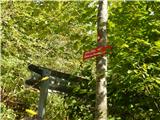 2
2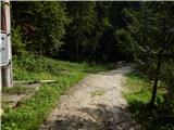 3
3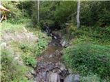 4
4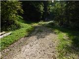 5
5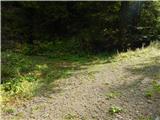 6
6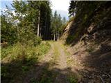 7
7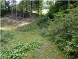 8
8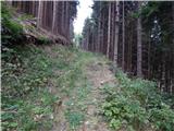 9
9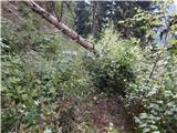 10
10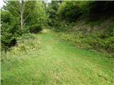 11
11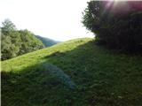 12
12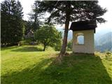 13
13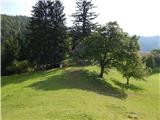 14
14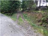 15
15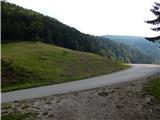 16
16 17
17 18
18 19
19 20
20 21
21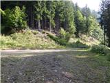 22
22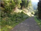 23
23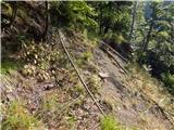 24
24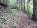 25
25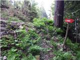 26
26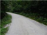 27
27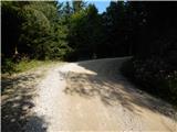 28
28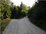 29
29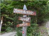 30
30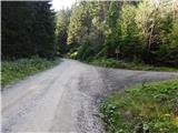 31
31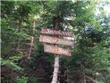 32
32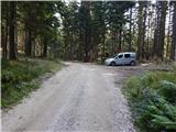 33
33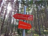 34
34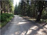 35
35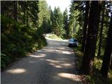 36
36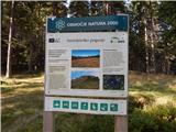 37
37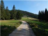 38
38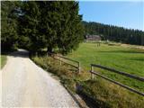 39
39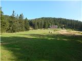 40
40 41
41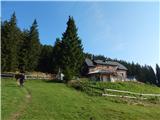 42
42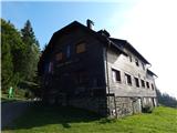 43
43
Discussion about the trip Ljubenske Rastke (Kumprej) - Dom na Smrekovcu
To post a comment you must log in:
If you do not yet have a username, you must first
register.