Ljubljana (Gruberjeva brv) - Orle
Starting point: Ljubljana (Gruberjeva brv) (299 m)
| Latitude/Longitude: | 46,04470°N 14,51750°E |
| |
Walking time: 1 h 45 min
Difficulty: easy marked way
Elevation gain: 159 m
Elevation difference along the route: 250 m
Map: Ljubljana - okolica 1:50.000
Recommended equipment (summer):
Recommended equipment (winter):
Views: 11.380
 | 1 person like this post |
Access to starting point:
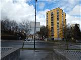
We drive to Ljubljana, best to the crossroad between Roška cesta and Streliška ulica, and then we park somewhere nearby. Most of the parking lots nearby are paid, except on Sundays, then most of the parking lots are free.
Route description:
From the starting point we first walk to the Gruberjeva brv footbridge, which is located directly at the crossroad of Roška cesta and Streliška ulica. On the other side of the Gruberjev prekop canal we reach Hradeckega cesta road, which we carefully cross at the marked pedestrian crossing, then we steeply ascend the stairs. Higher we reach a steep road, along which we ascend past a few more houses, then we can continue along the road or slightly left on the parallel forest path. Higher both paths join, then along the road we arrive at its end near the Golovec observatory.
From the end of the road we continue straight onto a wide cart track in the direction of the Orle inn. The gently sloping cart track shortly ahead temporarily ascends more steeply, then continues without major changes in elevation, mostly slightly descending. A few minutes later we cross a macadam road, behind it we reach the Trail of Remembrance and Comradeship, which we follow to the left. Along the mentioned path we walk through the forest, at junctions we follow the signs for Orle. When we leave the Trail of Remembrance and Comradeship we continue along the forest path, which quickly splits into two parts.
We continue along the right path (slightly left to the top of Mazovnik 1 minute), which bypasses Mazovnik on the right side. Soon a path from the top of Mazovnik joins us from the left, and at the following junctions we follow the wider path. After a short descent we reach a wider cart track, which we follow to the right, then again follow the signs for Orle. A bit further we reach an asphalt road leading to Orle, which we cross and continue left along the cart track running slightly to the right of the asphalt road. Soon we return to the road, then along it in a few minutes we arrive at the Orle inn, from which some views open up.
The description and pictures refer to the condition in 2016 (March).

Along the route: Observatorij Golovec (380m), Črni hrib (440m), Mazovnik (450m)
Photos:
 1
1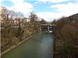 2
2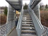 3
3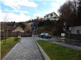 4
4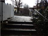 5
5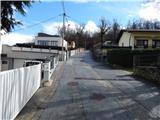 6
6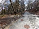 7
7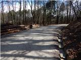 8
8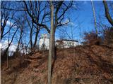 9
9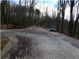 10
10 11
11 12
12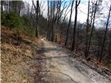 13
13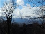 14
14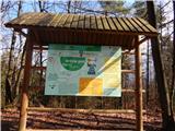 15
15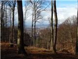 16
16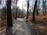 17
17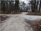 18
18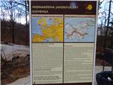 19
19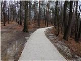 20
20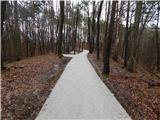 21
21 22
22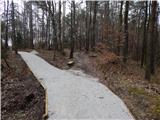 23
23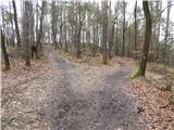 24
24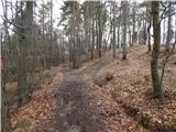 25
25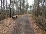 26
26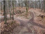 27
27 28
28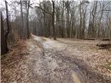 29
29 30
30 31
31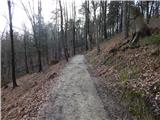 32
32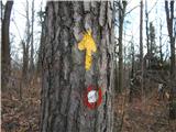 33
33 34
34 35
35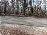 36
36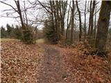 37
37 38
38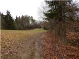 39
39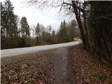 40
40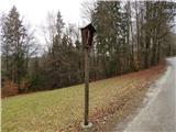 41
41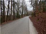 42
42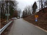 43
43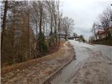 44
44 45
45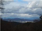 46
46
Discussion about the trip Ljubljana (Gruberjeva brv) - Orle
To post a comment you must log in:
If you do not yet have a username, you must first
register.