Ljubljana (London) - Mazovnik (Golovec)
Starting point: Ljubljana (London) (310 m)
| Latitude/Longitude: | 46,03160°N 14,53510°E |
| |
Walking time: 35 min
Difficulty: easy unmarked way
Elevation gain: 140 m
Elevation difference along the route: 150 m
Map: Ljubljana - okolica 1:50.000
Recommended equipment (summer):
Recommended equipment (winter):
Views: 11.072
 | 1 person like this post |
Access to starting point:
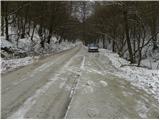
From the Ljubljana ring road we go to the south exit, and then we follow the road towards the center of Ljubljana. On Rudnik or at the hamlet London we will notice a road right before the Chinese restaurant (next to it a sign for the Trail of Remembrance and Comradeship), which directs us right uphill. After a few 10 meters the asphalt ends, and at this spot we park on the parking lot by the road.
Access from the center of Ljubljana is also possible.
Route description:
From the parking lot, we continue on a macadam road, and it quickly brings us to a sharp left turn. Right at the beginning of the mentioned turn, we notice signs for the Trail of Remembrance and Comradeship, which point us sharply right onto a wide and zig-zag ascending path. After a few minutes of ascent, the path flattens, then continues in a gentle to moderate ascent. Higher up, the path a few times gets very close to the forest road, and we all the time continue on the same path, which soon brings us to Črni hrib (highest point of the mentioned path).
From Črni hrib we first slightly descend, then, when the path flattens, we come to an unmarked junction. Here we leave the Trail of Remembrance and Comradeship and continue on the right path, next to which we notice one of the otherwise rare blazes on the path. Only a few 10 meters ahead we come to the next unmarked junction. This time we continue left and after a short ascent we step onto the highest peak of Golovec.

The trip can be extended to the following destinations: Orle
Photos:
 1
1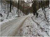 2
2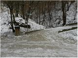 3
3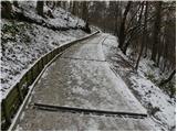 4
4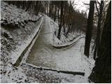 5
5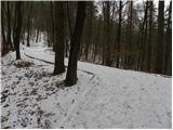 6
6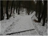 7
7 8
8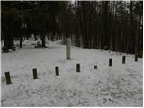 9
9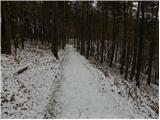 10
10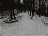 11
11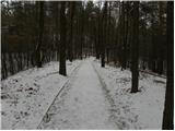 12
12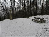 13
13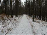 14
14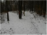 15
15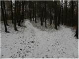 16
16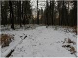 17
17
Discussion about the trip Ljubljana (London) - Mazovnik (Golovec)
To post a comment you must log in:
If you do not yet have a username, you must first
register.