Ljubljana (Rakovnik) - Črni hrib (Golovec)
Starting point: Ljubljana (Rakovnik) (306 m)
| Latitude/Longitude: | 46,03730°N 14,52470°E |
| |
Walking time: 50 min
Difficulty: easy unmarked way
Elevation gain: 134 m
Elevation difference along the route: 165 m
Map: Ljubljana - okolica 1:50.000
Recommended equipment (summer):
Recommended equipment (winter):
Views: 3.885
 | 1 person like this post |
Access to starting point:
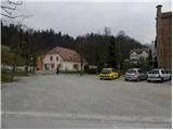
We drive to Dolenjska cesta in Ljubljana, where at the intersection with Galjevica we turn towards the northeast towards the nearby health center Rudnik and the Rakovnik church. We can park at a suitable spot by the church.
Route description:
From the parking lot, we continue on the asphalt road which before the church turns left, but we follow it to the wooden cross, where we turn right onto a cart track. The cart track leads onto a meadow and immediately turns into a moderately steep path, which ascends along the edge of a panoramic meadow. Initially, the path still offers nice views of the Rakovnik church, Rakovnik, the Ljubljana Marsh and Krim, then it gradually enters the forest. The path continues along the edge of the forest (here from the right the path past the chapel joins us) and traverses the slopes to the right. Before we reach the bench with a nice view, we turn left into the dense forest onto a path along which there are also green-yellow blazes. Further on, the path bypasses the less known Zeleni vrh (peak above the shooting range) on the right side, where it flattens even more. A few minutes of walking follow and the path brings us to a macadam road which leads to the nearby observatory on Golovec. We follow the mentioned road to the right to the observatory on Golovec, or to the sharp left bend.
At the bend, which is located in the immediate vicinity of the observatory, we notice the information board for the forest educational path Golovec, which directs us onto a wide and initially gently sloping cart track. After a few minutes of walking, the cart track moderately ascends for a short time, then gradually begins to descend. After a few minutes of descent we come to a forest road, which we just cross, then we join the Path of Remembrance and Comradeship. We follow the mentioned path to the left, which after a few shorter ascents brings us to Črni hrib (the highest point of the mentioned path).

Along the route: Observatorij Golovec (380m)
Photos:
 1
1 2
2 3
3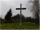 4
4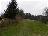 5
5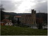 6
6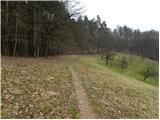 7
7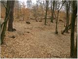 8
8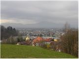 9
9 10
10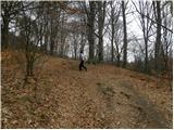 11
11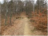 12
12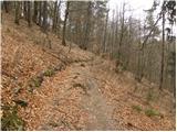 13
13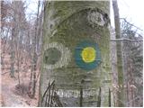 14
14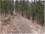 15
15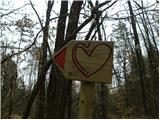 16
16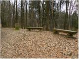 17
17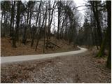 18
18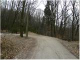 19
19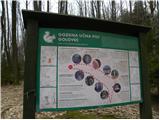 20
20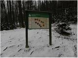 21
21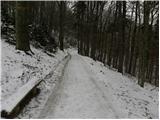 22
22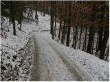 23
23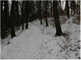 24
24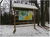 25
25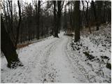 26
26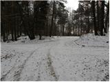 27
27 28
28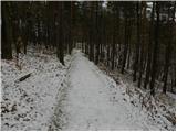 29
29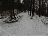 30
30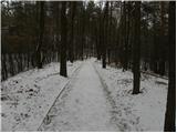 31
31 32
32
Discussion about the trip Ljubljana (Rakovnik) - Črni hrib (Golovec)
To post a comment you must log in:
If you do not yet have a username, you must first
register.