Ljubljana (Šentvid) - Toško Čelo
Starting point: Ljubljana (Šentvid) (314 m)
| Latitude/Longitude: | 46,09610°N 14,46520°E |
| |
Walking time: 1 h 45 min
Difficulty: easy marked way
Elevation gain: 276 m
Elevation difference along the route: 350 m
Map: Ljubljana - okolica 1:50.000
Recommended equipment (summer):
Recommended equipment (winter):
Views: 42.080
 | 3 people like this post |
Access to starting point:
A) From the center of Ljubljana we drive to Celovška cesta and follow it to Šentvid. Here at the intersection near the Šentviška church we turn left towards Cesta v Hrib and Šentviška ulica. Immediately after the intersection, we notice the signs for Toško Čelo, which direct us to the right. At the starting point there are no suitable parking spots.
B) We leave the Gorenjska motorway at the Šentvid tunnel (from the Ljubljana direction the exit is not yet possible - March 2011), then we continue driving towards the center of Ljubljana. Soon we arrive at a larger intersection, where we turn right towards Cesta v Hrib and Šentviška ulica. Immediately after the intersection, we notice the signs for Toško Čelo, which direct us to the right. At the starting point there are no suitable parking spots.
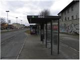
C) With city bus LPP (nos. 1, 8 and 25). In this case, we get off at the Šentvid bus stop.
Route description:
At the starting point a sign on a concrete retaining wall directs us right onto an ascending road, which soon turns sharply to the left. Immediately after the bend, a poorer road branches off to the right, leading to Toško Čelo (nearby there are also hiking signposts). We continue the ascent along the poorer macadam road, which climbs above the Šentvid tunnel, and this road turns left right above the tunnel entrance. A few minutes of walking along the road follow, then at the point where the road turns right, the blazes direct us straight onto a marked cart track or footpath, ascending parallel to the cart track. After a short ascent the path levels out and brings us to a shrine and benches. We continue along the cart track for some time, carefully following the blazes at the junctions so as not to stray from the right path. A little higher we bypass the summit of Velika Trata on the left side, and the path soon brings us to a small saddle between the aforementioned summit and Črni vrh. At the saddle the cart track turns slightly to the right, then the blazes direct us left onto a short steeper path. Higher up the path returns to the cart track, which splits into two parts. We continue on the left towards Toško Čelo, and further on the path leads partly along the cart track and partly along the footpath. Higher up the path ascends more steeply for a while, then brings us out of the forest, where we step onto an asphalt road. Here the path completely levels out, and we walk along the road to the nearby intersection. From the intersection we continue left (right Katarina) and after a short descent arrive at the hunting lodge on Toško Čelo.

Photos:
 1
1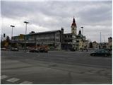 2
2 3
3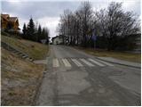 4
4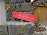 5
5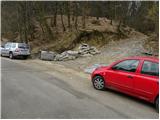 6
6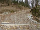 7
7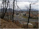 8
8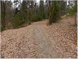 9
9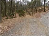 10
10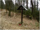 11
11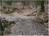 12
12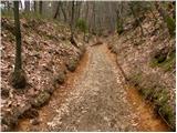 13
13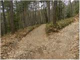 14
14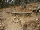 15
15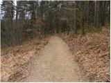 16
16 17
17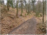 18
18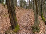 19
19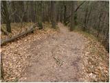 20
20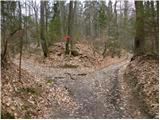 21
21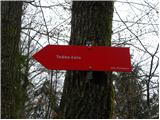 22
22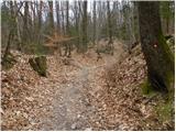 23
23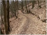 24
24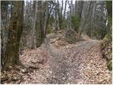 25
25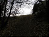 26
26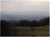 27
27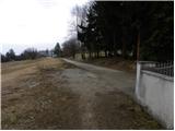 28
28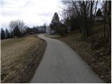 29
29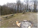 30
30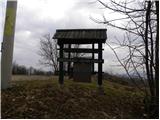 31
31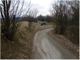 32
32 33
33
Discussion about the trip Ljubljana (Šentvid) - Toško Čelo
|
| Darxta7. 12. 2012 |
I started from the path in front of the OMV and although there are no signs to Toško Čelo there, the paths merge into a marked trail after the first ascent. But you also need to be quite attentive to the markers, as they are much less visible, either due to wet tree trunks or because they are slightly covered with snow.
|
|
|
|
| korab27. 01. 2013 |
This morning we were at Toško Čelo, specifically from Pražana. The path is easy but unmarked and with numerous side paths. Later it joins the path from Šentvid. Markings are poor and far apart. Maybe that's why there aren't many hikers, which is also an advantage. It takes about 1 hour and 15 minutes.
Perhaps PD Rašica, which maintains the path, could mark the path from Pržana in the future, as it is on the edge of Ljubljana and accessible by city bus (terminal no. 7)
|
|
|
|
| laik28. 01. 2013 |
Was there yesterday... really flat
|
|
|
|
| mirze11. 03. 2019 |
Since there are no suitable parking spots at the starting point, it's best to park the car somewhere near the church and walk across Celovška. On the other side of Celovška there is a map on the board and we can photograph it if we don't have a map with us.
|
|
|
To post a comment you must log in:
If you do not yet have a username, you must first
register.