Ljubljana (Štepanja vas) - Orle
Starting point: Ljubljana (Štepanja vas) (291 m)
| Latitude/Longitude: | 46,04801°N 14,53930°E |
| |
Walking time: 1 h 45 min
Difficulty: easy unmarked way
Elevation gain: 167 m
Elevation difference along the route: 260 m
Map: Ljubljana - okolica 1:50.000
Recommended equipment (summer):
Recommended equipment (winter):
Views: 6.160
 | 1 person like this post |
Access to starting point:
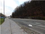
We drive to Ljubljana to Litijska cesta, where at the bus stop Štepanja vas (the bus stop is located near the intersection with Kajuhova cesta) the described path begins. At the starting point, there are no arranged parking spaces.
Route description:
From the bus stop on the south side of Litijska cesta, we continue towards the east, then before the first house right onto a forest path. Through the forest we first ascend along the fence, then along a better-trodden path. Higher we reach a wider cart track, along which we can continue, or we can also continue along a better-trodden footpath that ascends to the nearby 438-metre high hill Luknje.
Regardless of which path we continue on, a little further we join a narrower macadam road that leads past the observatory on Golovec. When we reach the mentioned road we continue left, then without major elevation changes we continue to the intersection with a wider macadam road, which we just cross. After crossing the road we reach the Trail of Remembrance and Comradeship. We follow the mentioned trail to the left, which after a few shorter ascents brings us to Črni hrib, which we recognise by the monument, bench and trash can.
From the mentioned summit we descend a little, then the signs for Orle from the Trail of Remembrance and Comradeship direct us slightly right. We continue along a gentle forest path, which quickly splits into two parts.
We choose the left upper path (slightly right Orle - path that bypasses the summit of Mazovnik), along which in a minute of further walking we arrive at the summit of Mazovnik.
From Mazovnik we continue towards Orle, where we soon join the path that bypasses the summit of Mazovnik, and at the following junctions we follow the wider path. After a short descent we reach a wider cart track, which we follow to the right, then again follow the signs for Orle. A little further we reach an asphalt road that leads to Orle, which we cross and continue left along a cart track that runs slightly right of the asphalt road. Soon we return to the road, then along it in a few minutes we arrive at the inn Gostilnica Orle, from which some views open up.
Starting point - Mazovnik 1:00, Mazovnik - Orle 45 minutes.

Photos:
 1
1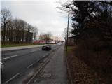 2
2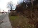 3
3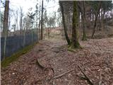 4
4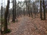 5
5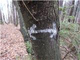 6
6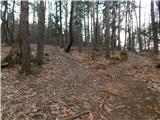 7
7 8
8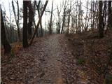 9
9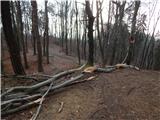 10
10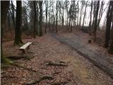 11
11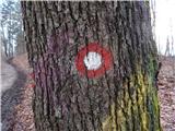 12
12 13
13 14
14 15
15 16
16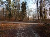 17
17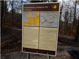 18
18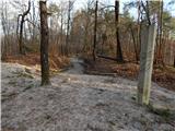 19
19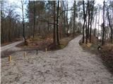 20
20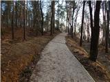 21
21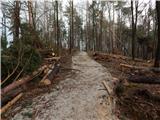 22
22 23
23 24
24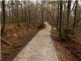 25
25 26
26 27
27 28
28 29
29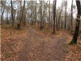 30
30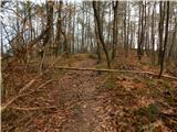 31
31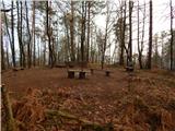 32
32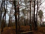 33
33 34
34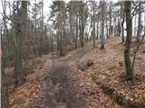 35
35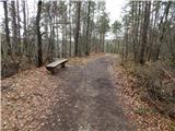 36
36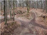 37
37 38
38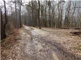 39
39 40
40 41
41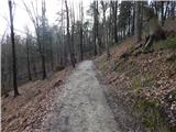 42
42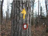 43
43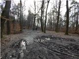 44
44 45
45 46
46 47
47 48
48 49
49 50
50 51
51 52
52 53
53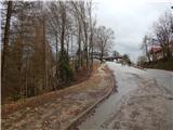 54
54 55
55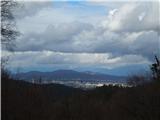 56
56
Discussion about the trip Ljubljana (Štepanja vas) - Orle
To post a comment you must log in:
If you do not yet have a username, you must first
register.