Starting point: Ljubljanica (521 m)
| Latitude/Longitude: | 46,03460°N 14,24240°E |
| |
Walking time: 2 h 25 min
Difficulty: easy marked way
Elevation gain: 413 m
Elevation difference along the route: 475 m
Map: Škofjeloško in Cerkljansko hribovje 1:50.000
Recommended equipment (summer):
Recommended equipment (winter):
Views: 1.580
 | 1 person like this post |
Access to starting point:
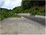
First, we drive to Horjul (to here from Dobrova near Ljubljana or Vrhnika), and then we continue driving towards Vrzdenc, Šentjošt and Gorenja vas. At Vrzdenc the road starts ascending steeper, and then a little further it brings us to a hairpin turn, in the middle of which a road branches off to the left towards Šentjošt and Smrečje. We continue right on the main road, and it soon brings us to a small saddle, at the end of which a road branches off to the right towards the village Samotorica. We continue straight, and the road starts steeply descending and after a short descent it brings us to the hamlet Ljubljanica (lower part of Butajnova), where we come to the next crossroad. Because in the mentioned hamlet there are no appropriate parking spots, we continue right and continue driving towards Polhov Gradec. After a good 100 meters of additional driving, we will notice on the right side a suitable place where we can park.
To the starting point we can also come from the direction of Polhov Gradec and Gorenja vas.
Route description:
From the starting point, we first walk to the hamlet Ljubljanica, and then at the crossroad we continue in the direction of Gorenja vas. Only a few meters ahead, we will notice by the road mountain signposts for Butajnova, Planina and Setnik, which point us sharply right on an ascending asphalt road. Further, we ascend for some time on the mentioned road, and then blazes point us on a marked footpath.
From the spot when we leave the road, we first ascend on a cart track, and then it changes into a quite overgrown path, on which we quickly return to the road. We step on the road right at a smaller crossroad, where a road branches off to the left towards Kurja vas, and we continue straight on the ascending road, on which we quickly arrive in Butajnova.
Only a little after the fire station and chapel in Butajnova, a road branches off to the right, on which in a minute of additional walking we arrive at the church of St. Ana in Butajnova.
From the church, we return on the road some 10 m back, and then we continue on the road towards the northern part of the village. We soon come to a marked crossroad, where we continue left in the direction of Planina. Ahead the road bypasses the last houses too, and then it continues in a gentle ascent across extensive pastures. A little higher the road enters the forest, where it still ascends slightly to moderately for some time, and then, after bypassing the quarry, it flattens completely. Soon we step out of the forest onto the grassy meadows of Planina nad Horjulom. The increasingly panoramic road then brings us in a gentle ascent to the village, where blazes direct us onto a relatively steep cart track, on which in a few minutes of additional walking we ascend to the church of St. Andrej.
From the church, we continue towards the northwest and quickly descend to the asphalt road, which we reach at the chapel. From the chapel we continue right and in a few minutes arrive at the hamlet Zameja, where blazes direct us left onto a side road, which after the last farm changes into a cart track, which leads us in a gentle ascent across the pasture. On the second part of the pasture, the cart track starts to disappear, and we continue slightly left to the edge of the forest, where we join the path through the forest.
We continue straight or before the forest slightly right, where a wide path appears. The path ahead leads us through the forest, where we walk on and along the ridge of Zlatnega vrh, and the hill Gabrovc with the quarry we bypass on the right side. There follows some more gentle descent and past a larger chapel we reach the asphalt road, which at the crossroad we only cross and continue on the path in the direction of the hiking trail (left downward Lučine, left upward some farms slightly right Lomovec and Sivka by road - the road does not lead to the top), along which higher we notice some signs with the inscription Prijatelji Sivke. After a few minutes of ascent the forest ends and to the top only a little walking remains on the panoramic summit slope of the mountain.
Right of the summit there is a mountaineering stamp box, left of the summit the stamp box of Prijatelji Sivke.
Ljubljanica - Butajnova 0:35, Butajnova - sv. Andrej 0:40, sv. Andrej - Sivka 1:10.

Along the route: Sveta Ana (Butajnova) (686m), Sveti Andrej (Planina nad Horjulom) (798m)
Photos:
 1
1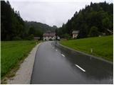 2
2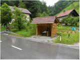 3
3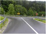 4
4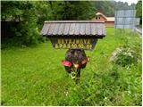 5
5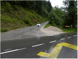 6
6 7
7 8
8 9
9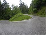 10
10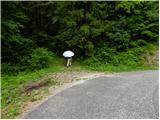 11
11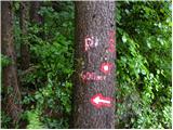 12
12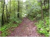 13
13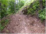 14
14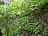 15
15 16
16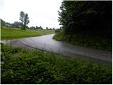 17
17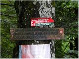 18
18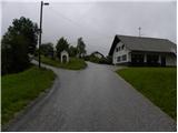 19
19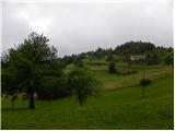 20
20 21
21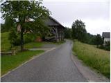 22
22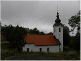 23
23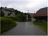 24
24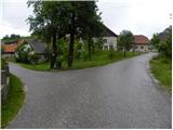 25
25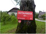 26
26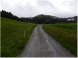 27
27 28
28 29
29 30
30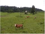 31
31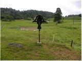 32
32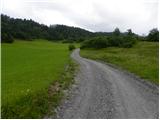 33
33 34
34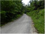 35
35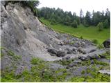 36
36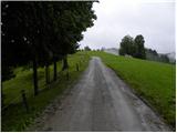 37
37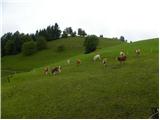 38
38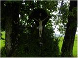 39
39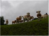 40
40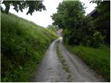 41
41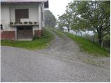 42
42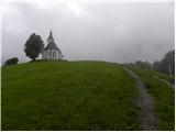 43
43 44
44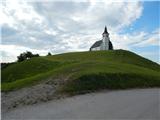 45
45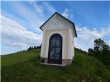 46
46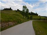 47
47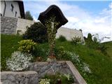 48
48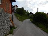 49
49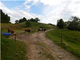 50
50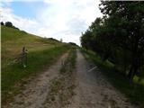 51
51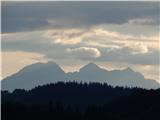 52
52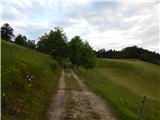 53
53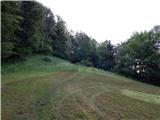 54
54 55
55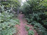 56
56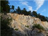 57
57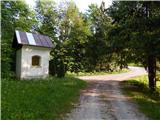 58
58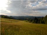 59
59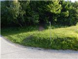 60
60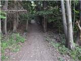 61
61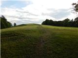 62
62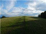 63
63 64
64 65
65
Discussion about the trip Ljubljanica - Sivka
To post a comment you must log in:
If you do not yet have a username, you must first
register.