Logatec (Gorenja vas) - Šenčurjev vrh (via Žibrše)
Starting point: Logatec (Gorenja vas) (508 m)
| Latitude/Longitude: | 45,90720°N 14,20050°E |
| |
Route name: via Žibrše
Walking time: 1 h 30 min
Difficulty: easy unmarked way
Elevation gain: 217 m
Elevation difference along the route: 240 m
Map:
Recommended equipment (summer):
Recommended equipment (winter):
Views: 4.317
 | 1 person like this post |
Access to starting point:
A) From the highway Ljubljana - Koper we take the Logatec exit, then continue driving to the old Logatec - Postojna road, which we follow in the direction of Postojna and Tolmin. Still before Logatec ends, we will notice on the right a turn-off of the road towards the nearby cemetery. We drive onto the mentioned road and then after a few tens of meters park on the arranged parking lot by the cemetery.
B) From Žirov or Vrhnika we drive to Logatec, from there we continue driving in the direction of Postojna and Tolmin. Still before Logatec ends, we will notice on the right a turn-off of the road towards the nearby cemetery. We drive onto the mentioned road and then after a few tens of meters park on the arranged parking lot by the cemetery.
C) From Idrija or Črni Vrh we drive to Godovič, from there we continue driving towards Logatec. At Kalce the road from Col joins, and a little further we arrive in Logatec, where we turn left (the turn-off to the cemetery from this direction is not especially marked) towards the nearby cemetery and park there.
Route description:
From the parking lot by the cemetery we continue on the road ahead, then, when we arrive at the houses, at the intersection with the stop sign we continue right. The path ahead leads us past a signpost, then also over a bridge across Črni potok stream to the next intersection with a stop sign. This time we continue left on the main road towards Žibrše, where we first bypass the Smolevec quarry in Logatec on the right, then past a trough with drinking water (water is closed in winter) arrive at the Reka retention basin in Logatec. Somewhat further from the embankment we arrive at the next intersection, where we continue slightly left in the direction of the Open Doors Farm Pr Tumlet.
From the intersection ahead the road starts to ascend more steeply and quickly takes us to the first houses in Žibrše. A little before the next hamlet the road splits into two parts, and we continue on the right asphalt road. Above the hamlet the asphalt ends, and the path leads us through occasionally panoramic partly grassy slopes or meadows. The fairly level road after a few minutes becomes asphalt again and takes us to the central part of the village Žibrše, where the fire station and the villagers' home of Žibrše are located. Ahead the asphalt road turns left, and we continue straight uphill on a somewhat poorer macadam road, which ascends gently to moderately. Higher up the road levels out even more, and on the right side, a few meters from the road, we will notice a bench and a viewpoint panel located on Šenčurjev vrh.
Description and pictures refer to the condition in 2014 (December).

Along the route: Žibrše (685m)
Photos:
 1
1 2
2 3
3 4
4 5
5 6
6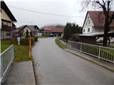 7
7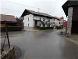 8
8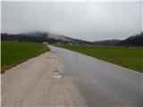 9
9 10
10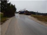 11
11 12
12 13
13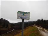 14
14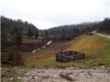 15
15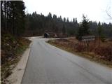 16
16 17
17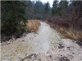 18
18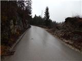 19
19 20
20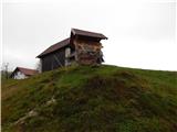 21
21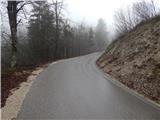 22
22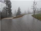 23
23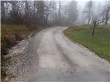 24
24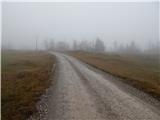 25
25 26
26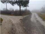 27
27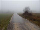 28
28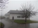 29
29 30
30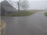 31
31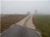 32
32 33
33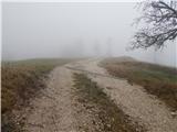 34
34 35
35 36
36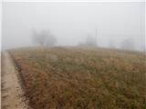 37
37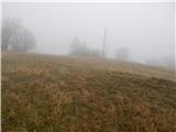 38
38 39
39 40
40
Discussion about the trip Logatec (Gorenja vas) - Šenčurjev vrh (via Žibrše)
To post a comment you must log in:
If you do not yet have a username, you must first
register.