Loka - Rašica (Vrh Staneta Kosca)
Starting point: Loka (304 m)
| Latitude/Longitude: | 46,14890°N 14,55110°E |
| |
Walking time: 1 h 20 min
Difficulty: easy marked way
Elevation gain: 337 m
Elevation difference along the route: 360 m
Map: Ljubljana - okolica 1:50.000
Recommended equipment (summer):
Recommended equipment (winter):
Views: 11.453
 | 1 person like this post |
Access to starting point:
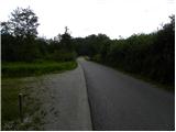
From the road Trzin - Kamnik, at Loka we turn onto a local road in the direction of Loka and Dobeno. Further, we drive through Loka, where at the crossroads we follow the signs for Dobeno. Further, we cross a few fields, and then the road passes into the forest. When the fields end, we will notice a few appropriate places on the left side of the road where we can leave the car.
Route description:
From the starting point, we continue on the asphalt road, which quickly passes into a dense forest and starts to ascend more noticeably. Soon, we will notice signs by the road for the footpath to Dobeno, which direct us right onto a path that begins to ascend through the forest. We continue the ascent on an unmarked path, on which at the junctions we follow to the left. After approximately 10 minutes of ascent through the forest, we return to the road, and we walk along it to the beginning of the village Dobeno and further. Ahead the road leads us past a trough with water and past a few houses brings us to a marked junction, where from the left the marked path from the castle Jablje joins.
From the inn Ručigaj, which is situated by the marked junction, we continue straight and ascend the road with increasingly beautiful views of the surroundings. Higher, the marked path crosses the road a few times, then brings us to the inn Dobenski hram.
From here we continue for some time on the "main" road, then arrive at a large parking lot, by which there are a bench and a chapel.
From the parking lot, we continue on the ascending asphalt road, which at the crossroads we follow in the direction of the mountain hut Dom na Rašici. With nice views on Posavsko hribovje and partly also on the Kamnik-Savinja Alps, we quickly arrive at a hamlet, where the mountain signposts for the mountain hut Dom na Rašici direct us right onto an initially wide cart track. Here the path passes into the forest, and at the junctions we carefully follow the blazes so that in the labyrinth of cart tracks and footpaths we don't miss the right path. Higher the wide path slightly descends, then starts to ascend moderately towards the mountain hut Dom na Rašici, which we reach after a few minutes of additional walking.
From the hut, we continue on a gently sloping path in the direction of the lookout tower, which we reach after a minute of additional walking. For a nice view, it is worth ascending the 17 m high lookout tower as well.

Along the route: Dobeno (511m)
Photos:
 1
1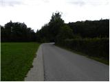 2
2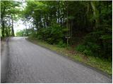 3
3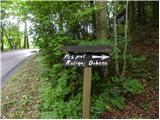 4
4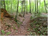 5
5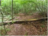 6
6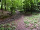 7
7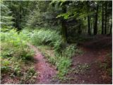 8
8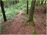 9
9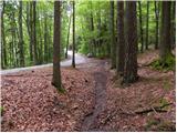 10
10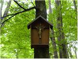 11
11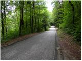 12
12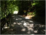 13
13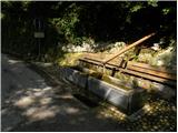 14
14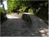 15
15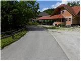 16
16 17
17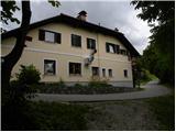 18
18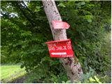 19
19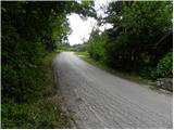 20
20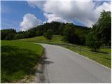 21
21 22
22 23
23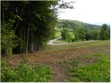 24
24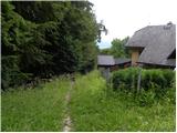 25
25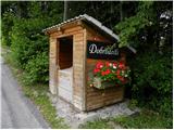 26
26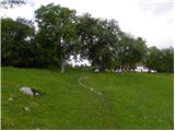 27
27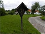 28
28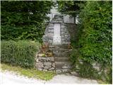 29
29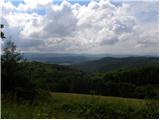 30
30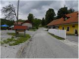 31
31 32
32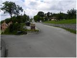 33
33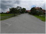 34
34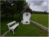 35
35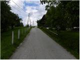 36
36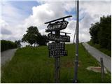 37
37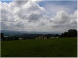 38
38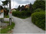 39
39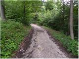 40
40 41
41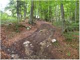 42
42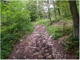 43
43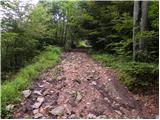 44
44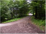 45
45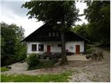 46
46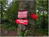 47
47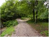 48
48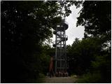 49
49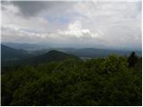 50
50 51
51
Discussion about the trip Loka - Rašica (Vrh Staneta Kosca)
To post a comment you must log in:
If you do not yet have a username, you must first
register.