Lovrenc na Pohorju (pokopališče) - Jezerc
Starting point: Lovrenc na Pohorju (pokopališče) (493 m)
| Latitude/Longitude: | 46,53480°N 15,37958°E |
| |
Walking time: 3 h 15 min
Difficulty: easy unmarked way
Elevation gain: 729 m
Elevation difference along the route: 750 m
Map: Pohorje 1:50.000
Recommended equipment (summer):
Recommended equipment (winter): ice axe, crampons
Views: 151
 | 1 person like this post |
Access to starting point:
a) From the Maribor - Dravograd road, between HE Fala and HE Ožbalt turn left towards Lovrenc na Pohorju (from Dravograd direction turn right). On the other side of the Drava we start ascending along Radoljna, at the marked intersection go slightly right along the main road towards Lovrenc na Pohorju. When we arrive in the settlement Lovrenc na Pohorju follow the main road, park a little further from the parish church of St. Lovrenc, at the marked parking lot next to the cemetery.
b) Drive to Ruše, then follow the road towards Lovrenc na Pohorju. In the settlement Činžat we arrive at the pass, where the road starts descending, lower down go left towards Lovrenc na Pohorju. When we arrive in the settlement Lovrenc na Pohorju follow the main road, park a little further from the parish church of St. Lovrenc, at the marked parking lot next to the cemetery.
Route description:
From the parking lot continue along the main road through the upper part of the settlement, bypassing the cemetery on the right side. Initially walk on the sidewalk, soon after the road sign indicating the end of the settlement Lovrenc na Pohorju arrive at Hojnikova kapela, where the sidewalk ends, we continue straight in the direction of Lovrenška jezera and Ribniška koča (right Kogelnikov vrh). Along the asphalt road go past a few more houses, at the right bend leave it and continue on the footpath that rises above the road, before stepping into the forest return to it. When reaching the road the asphalt ends, we continue along the road through the forest, which quickly brings us to the place where the signs for Lovrenška jezera direct us right onto the marked cart track. Follow the ascent along the cart track through initially partly chestnut forest, higher up bypass the hunting observation post on the right side and a little above it cross the asphalt road. A bit further cross also the gravel road, when a bit further reach the second gravel road, follow it left. Markings a bit further direct us right into the forest, where we quickly arrive at a junction, where the new path towards Lovrenška jezera continues right upwards and transitions to Kasjakov breg, we continue straight along the old path, along which markings still accompany us. Follow some crossings or slight ascent and from the forest reach Kasjakov travnik and about a minute further Kasjakovo kmetijo, where we bypass the buildings along the lower left side. After the farm follow markings for some time, then markings direct right up the slope and the path joins the new trail, we continue straight along the henceforth unmarked path. Follow also a short crossing along the cart track and reach the gravel road, which we follow right (if following the road left we descend along it to the Radoljna stream).
Follow a longer zigzag to moderate transverse ascent towards left, where we cross some streams and gullies, when arriving at a somewhat larger gully, where we cross the Radeljska grapa stream, above the path notice the interesting Hudičev slap.
A few minutes further the hiking path P.P.3 Pohorski biseri joins from the right, we continue straight and continue with crossing. Just a little further some cart tracks join from the left, where the path that continued lower along Radoljna also joins us, then we walk along the road to Jezerc lake.
Izhodišče - Hudičev slap 2:50, Hudičev slap - Jezerc 0:25.
The description refers to the condition in June 2025, the photos are from October 2022 and June 2025.

Photos:
 1
1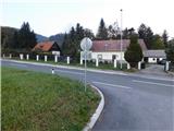 2
2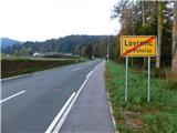 3
3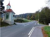 4
4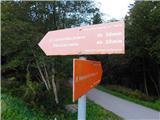 5
5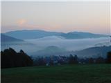 6
6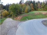 7
7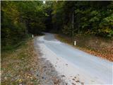 8
8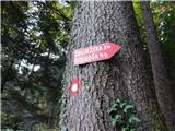 9
9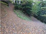 10
10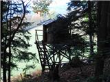 11
11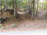 12
12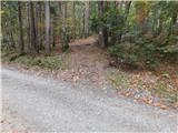 13
13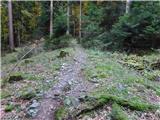 14
14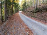 15
15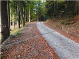 16
16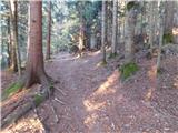 17
17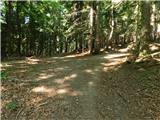 18
18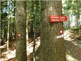 19
19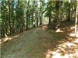 20
20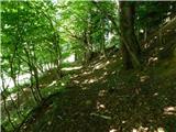 21
21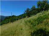 22
22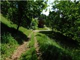 23
23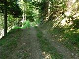 24
24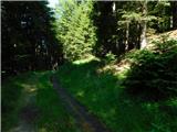 25
25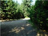 26
26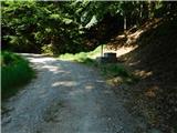 27
27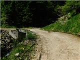 28
28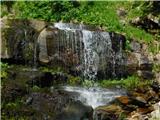 29
29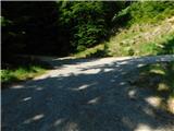 30
30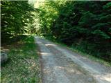 31
31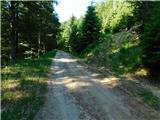 32
32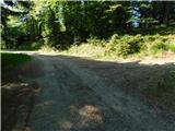 33
33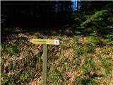 34
34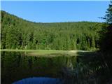 35
35
Discussion about the trip Lovrenc na Pohorju (pokopališče) - Jezerc
To post a comment you must log in:
If you do not yet have a username, you must first
register.