Lovrenc na Pohorju - Jezerc (on path by Radoljna)
Starting point: Lovrenc na Pohorju (436 m)
| Latitude/Longitude: | 46,54195°N 15,38604°E |
| |
Route name: on path by Radoljna
Walking time: 3 h 30 min
Difficulty: partly demanding marked way, easy unmarked way
Elevation gain: 786 m
Elevation difference along the route: 830 m
Map: Pohorje 1:50.000
Recommended equipment (summer):
Recommended equipment (winter): ice axe, crampons
Views: 127
 | 1 person like this post |
Access to starting point:
a) From the Maribor - Dravograd road, between HE Fala and HE Ožbalt, turn left towards Lovrenc na Pohorju (from the Dravograd direction, turn right). On the other side of the Drava, we begin to ascend along Radoljna, at the marked intersection we go slightly right on the main road towards Lovrenc na Pohorju. When we arrive in the settlement of Lovrenc na Pohorju, follow the main road, in the center of the settlement turn right towards the primary school, where we park in the parking lot next to the school. We can also park elsewhere in the settlement, where there are still some arranged free parking spaces.
b) Drive to Ruše, then follow the road towards Lovrenc na Pohorju. In the settlement Činžat we arrive at the pass, where the road begins to descend, lower down turn left towards Lovrenc na Pohorju. When we arrive in the settlement Lovrenc na Pohorju follow the main road, in the center of the settlement turn right towards the primary school, where we park in the parking lot next to the school. We can also park elsewhere in the settlement, where there are still some arranged free parking spaces.
Route description:
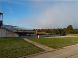
From the parking lot, we return to the center of the settlement, then ascend along the main road towards the southwest. After a few minutes, we reach a marked intersection, where we continue left towards Klopni vrh and Pesek. A slight descent follows, when the road turns right we begin to ascend easily again. The path continues past the branch church of St. Radegunda, where there is also parking available. We continue on the sidewalk, when the sidewalk ends we turn right onto a side road, along which we quickly reach another road, which we follow to the right. Further on, we walk past the last houses of the settlement Lovrenc na Pohorju, and the road turns into the gorge of the Radoljna stream.
At the point where the gorge narrows, a marked path branches left towards Klopni vrh, but we continue slightly right and proceed walking along the asphalt road. Higher up, we pass the Sgerm refreshment area, a little further on the marked path branches again.
The path towards Koča na Pesku continues along the main road that crosses a bridge, but we go straight onto the side road, next to which are signs for the path along Radoljna. We continue a few steps on the asphalt, then head onto the footpath that runs along the left bank of Radoljna and follow the markers at a few junctions. The path ascends transversely along a mostly wide trail that runs somewhat above Radoljna, and along the way we get views towards the waterfalls, rapids, and pools of the stream, which are most beautiful during higher water levels and when the trees have no leaves, as the forest partially obscures the views towards the gorge. Later, when the slope flattens somewhat, a few old logging trails branch right, but we continue straight and follow the markers. The relatively wide path, which once led to numerous sawmills and mills, is then interrupted by a landslide. The marked path is routed along the upper edge of the landslide and crosses it without major changes in elevation, but the path is slippery for a length of a few dozen steps (in times of greater slip hazard e.g. mud, ice, etc., we can continue right upwards a bit before the landslide and ascend pathless to the cart road). On the other side of the landslide, we return to the forest, the path turns sharply right a little further on and ascends transversely to a wider gravel road, which we then follow left, walking along it for a few more minutes to the former quarry at Pruh, where the main road crosses Radoljna. Here the marked path ends.
From Pruh, we continue further along the left bank of Radoljna, the path leading along a somewhat narrower forest road. A few minutes further, when the road turns sharply right, we leave it and continue straight onto the cart track (right is an easier to orient but somewhat longer path along the road). A transverse ascent follows along the cart track, which leads us quite close to the stream for a while longer, higher up we cross a picturesque left tributary of Radoljna. Higher up the cart track has a few more branches, but we keep to the direction that leads roughly in the same direction as the Radoljna valley, with the cart track making a serpentine here and there. Even higher there are a few more junctions and several combinations are possible until reaching the road, but the best is to continue keeping the same direction, i.e. transverse ascent to the left.
When we reach the road, go left, and continue along it to the Jezerc reservoir lake.
Starting point - Pruh 1:45, Pruh - Jezerc 1:45.
The description refers to the condition in June 2025, the pictures are from October 2021 and June 2025.

Photos:
 1
1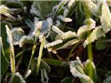 2
2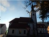 3
3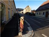 4
4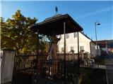 5
5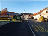 6
6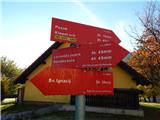 7
7 8
8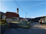 9
9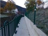 10
10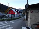 11
11 12
12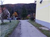 13
13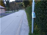 14
14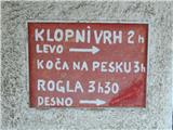 15
15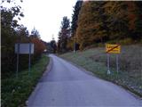 16
16 17
17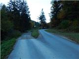 18
18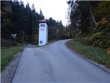 19
19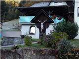 20
20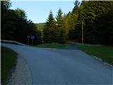 21
21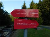 22
22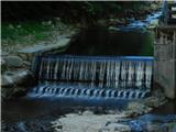 23
23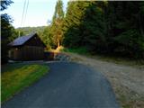 24
24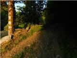 25
25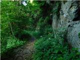 26
26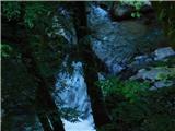 27
27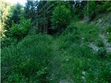 28
28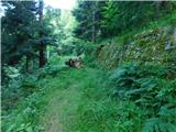 29
29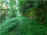 30
30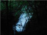 31
31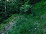 32
32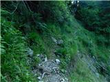 33
33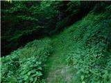 34
34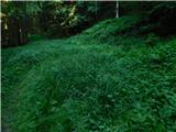 35
35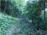 36
36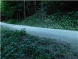 37
37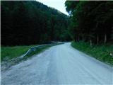 38
38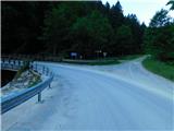 39
39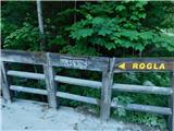 40
40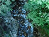 41
41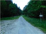 42
42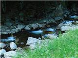 43
43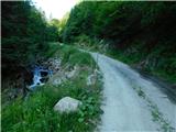 44
44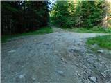 45
45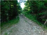 46
46 47
47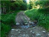 48
48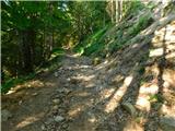 49
49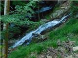 50
50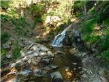 51
51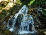 52
52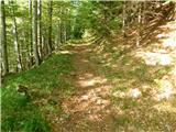 53
53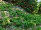 54
54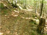 55
55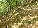 56
56 57
57 58
58 59
59 60
60 61
61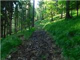 62
62 63
63 64
64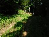 65
65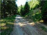 66
66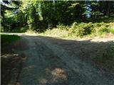 67
67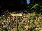 68
68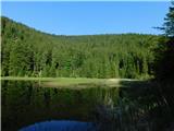 69
69
Discussion about the trip Lovrenc na Pohorju - Jezerc (on path by Radoljna)
To post a comment you must log in:
If you do not yet have a username, you must first
register.