Starting point: Luče (522 m)
| Latitude/Longitude: | 46,35530°N 14,74820°E |
| |
Walking time: 3 h 5 min
Difficulty: easy marked way
Elevation gain: 1042 m
Elevation difference along the route: 1042 m
Map: Kamniške in Savinjske Alpe 1:50.000
Recommended equipment (summer):
Recommended equipment (winter): ice axe, crampons
Views: 31
 | 1 person like this post |
Access to starting point:
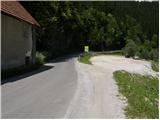
a) From the Ljubljana–Maribor motorway we head towards the Šentrupert exit, then continue driving in the direction of Logarska dolina. At the beginning of Luče, just a few meters before the road crosses the Savinja river, on the left side we notice a larger gravel parking lot where we park.
b) We can also reach the starting point via the Volovljek pass (Kranjski Rak). In this case, in Luče we turn right towards Mozirje and then just a few dozen meters after the bridge over the Savinja river we park at the previously mentioned parking lot.
Route description:
Between the parking lot and the bridge over the Savinja river along the road we notice a sign for Koča na Loki. This directs us to the path that initially steeply ascends via stairs. The path soon levels out, then continues along the ridge that steeply descends towards the Savinja river. Further we enter a dense forest, where the path quickly leads us to a chapel, behind which is a small junction.
We continue on the right path, which begins to ascend ever more steeply, then levels out and turns right. This is followed by a short traverse to the right, then we step out of the forest onto an extensive meadow. Further the poorly visible path ascends transversely across the mentioned meadow and leads us to a small hamlet, where we again notice markings. The path leads us past a few houses, above them through a strip of bushes to the nearby road. We only cross the road, as directional signs at a small shrine direct us to a footpath that moderately ascends through the forest.
A little higher a beautiful view of Raduha opens up. We continue on the marked path, which a little higher leads us to the road, which after just a few meters reaches a marked junction. We turn slightly left and continue the ascent on the road in the direction of Raduha. We walk on the road for some time, which has a few marked shortcuts (markings in this section are very rare), then we reach a newer road, where in the middle of the left curve a wide marked cart track branches off to the right.
We continue the ascent on the cart track, which higher up again leads us to the road. On it we walk only a few dozen steps more, then on the left side we notice a marked path that leads towards the pastures Loka and Arta (the junction from the newer road is not marked). Further we ascend transversely, parallel to the road, and the path a little further leads us to a large bench, next to which a marked junction is indicated.
We continue on the left path in the direction of Velika Raduha via Planina Arta (straight ahead Velika Raduha past Koča na Loki).
This is followed by some more ascent through the forest, then we reach the parking lot below Snežna jama, where we only cross the road and continue following the signs for Planina Arta.
This is followed by an ascent on the cart track, which soon turns left and ascends transversely to a marked junction, where the path from Rogovilec joins from the left.
We continue right in the direction of Planina Arta, Koča na Loki and Velika Raduha (straight up Snežna jama) and ascend transversely on the cart track for a few more minutes, then we leave the forest and walk to the shepherd's hut located in the middle of the scenic part of Planina Arta.
Starting point - Huda raven 2:20, Huda raven - below Snežna jama 0:25, below Snežna jama - junction to Snežna jama 0:10, junction to Snežna jama - Planina Arta 0:10.

Photos:
 1
1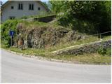 2
2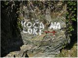 3
3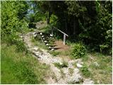 4
4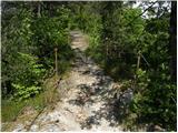 5
5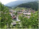 6
6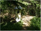 7
7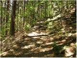 8
8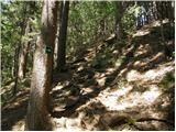 9
9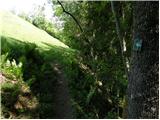 10
10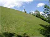 11
11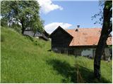 12
12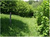 13
13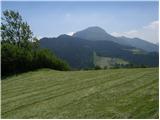 14
14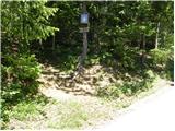 15
15 16
16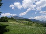 17
17 18
18 19
19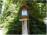 20
20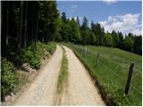 21
21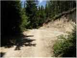 22
22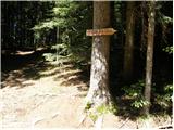 23
23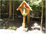 24
24 25
25 26
26 27
27 28
28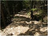 29
29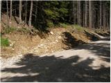 30
30 31
31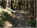 32
32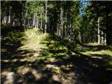 33
33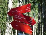 34
34 35
35 36
36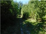 37
37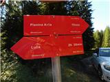 38
38 39
39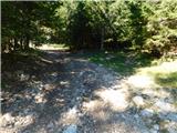 40
40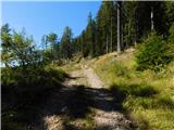 41
41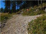 42
42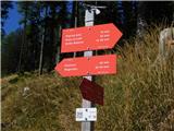 43
43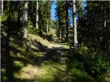 44
44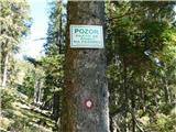 45
45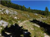 46
46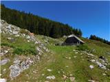 47
47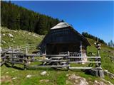 48
48
Discussion about the trip Luče - Planina Arta
To post a comment you must log in:
If you do not yet have a username, you must first
register.