Makekova Kočna - Ovča koča (via Murijeva planina)
Starting point: Makekova Kočna (945 m)
| Latitude/Longitude: | 46,38560°N 14,50450°E |
| |
Route name: via Murijeva planina
Walking time: 1 h 30 min
Difficulty: easy unmarked way
Elevation gain: 378 m
Elevation difference along the route: 450 m
Map: Kamniške in Savinjske Alpe 1:50.000
Recommended equipment (summer):
Recommended equipment (winter): ice axe, crampons
Views: 2.130
 | 1 person like this post |
Access to starting point:
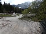
First, we drive to Preddvor or to the settlement Tupaliče (to here from the Gorenjska highway or Kranj), and then we continue driving in the direction of Jezersko. When we get to Zgornje Jezersko, on the part where the road flattens, we leave the main road and continue driving right in the direction of the organic tourist farm Makek, Češka koča, Veliki vrh and waterfall Čedca (we leave the main road before the Petrol gas station). Immediately after the turn-off from the main road we first descend a little and then follow the road in the direction of farm Makek. Further on, the road starts ascending, and we drive along it to a smaller crossroad, where to the left the road continues towards the farm Makek, and straight ahead continues the road which leads further past the turn-off of the path to the waterfall Čedca and past the turn-off of the path to Veliki vrh. We park in an appropriate place near the crossroad so that we don't hinder frequent forestry work.
Route description:
From the starting point, we continue on the right road which crosses a torrent and continues by a former ski slope. We leave the mentioned road on the part where the former ski slope ends and continue right on the traceable path which ascends along the old ski track. Higher, the footpath turns a little right and crosses a shorter overgrown part, after which we arrive on a better-trodden path which leads from the farm Mlinar or hamlet Ravne. The path ahead leads us along the route of the former ski lift and ascends steeply in places, then brings us to a macadam road (to here also possible along the road which makes a longer detour). When we step on the road, we follow it to the right, and we walk along it to the marked turn-off of the path to Veliki vrh.
The path ahead leads us on a cart track, then the blazes direct us from it to the right on a well-trodden footpath which gradually enters a dense forest. When the forest ends, we step on a clearing, in the middle of which there is a wooden cottage, the latter being part of the nearby Murijeva planina.
Before the cottage a marked path turns left towards Veliki vrh, we continue straight, bypassing the mentioned cottage on the left side. At the wooden toilet the path goes into the forest and starts descending diagonally along a cart track. The path ahead leads for a while alongside an old wire fence, then leads us along the lower part of the clearing, where on the right side there is a hunting observatory. There follows some more walking through dense forest, then the path brings us to the western ridge of Veliki vrh, where we step out of the forest. With a view of the Kočna massif we descend one level lower, where we then quickly reach the forest road which we left at the turn-off for Veliki vrh.
We walk a few steps along the road, then continue slightly left on a cart track which ascends parallel to the road. We continue on the cart track, following it to the right at several junctions. After the junctions a short ascent follows and the cart track brings us through a belt of forest to Ovča koča, the hut being located on the left upper part of the meadow.
Description and pictures refer to the condition in the year 2016 (April).

Photos:
 1
1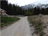 2
2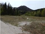 3
3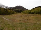 4
4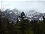 5
5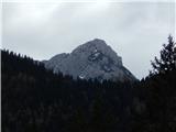 6
6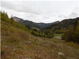 7
7 8
8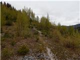 9
9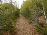 10
10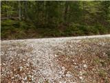 11
11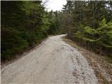 12
12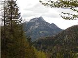 13
13 14
14 15
15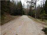 16
16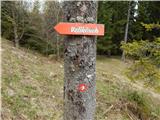 17
17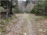 18
18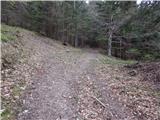 19
19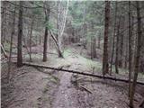 20
20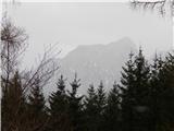 21
21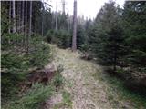 22
22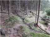 23
23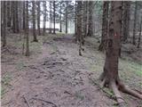 24
24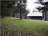 25
25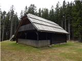 26
26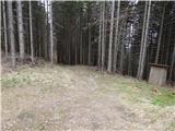 27
27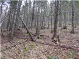 28
28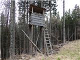 29
29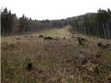 30
30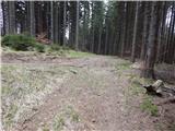 31
31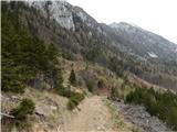 32
32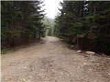 33
33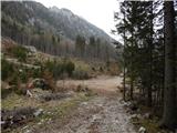 34
34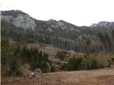 35
35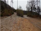 36
36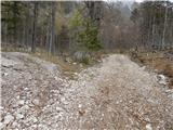 37
37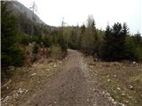 38
38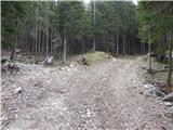 39
39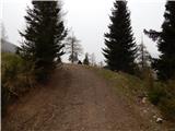 40
40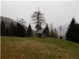 41
41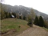 42
42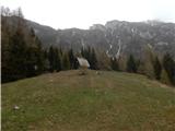 43
43 44
44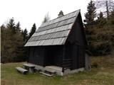 45
45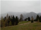 46
46
Discussion about the trip Makekova Kočna - Ovča koča (via Murijeva planina)
To post a comment you must log in:
If you do not yet have a username, you must first
register.