Starting point: Mala Goričica (587 m)
| Latitude/Longitude: | 45,98840°N 14,80360°E |
| |
Walking time: 1 h 10 min
Difficulty: easy marked way
Elevation gain: 189 m
Elevation difference along the route: 230 m
Map:
Recommended equipment (summer):
Recommended equipment (winter):
Views: 3.365
 | 1 person like this post |
Access to starting point:
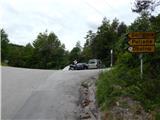
From the highway Ljubljana - Novo Mesto, we take the exit Ivančna Gorica, and then we continue driving towards Stična. After Stična, the road leads us through the settlement Mekinje nad Stično to the settlement Metnaj. At some crossroads we follow the signs for Obolno, but we drive along the asphalt road to a smaller saddle where the path branches off to the right towards the nearby hunting cottage, straight ahead the road continues towards the settlement Debeče, and to the left leads the road towards the settlements Goričica, Poljane and Obolno. We park at an appropriate place at the crossroad.
Route description:
From the starting point, we continue on the ascending road in the direction of Goričica, Poljane and Obolno. After a shorter steep ascent, the road flattens and brings us to a panoramic hayfield, from where a nice view opens up towards the south. Here the road turns a little to the right and leads us past a few houses. Behind the houses, at the smaller crossroad we continue right, on the road which a little further starts lightly descending. After a short descent, the road branches off to the left towards the settlement Poljane, and we continue straight in the direction of Obolno. From here we continue on the main road for a short time, and then signs for Plate point us slightly to the left on a macadam road which, just like the asphalt one, continues through the forest. We continue on the forest road which soon brings us out of the forest into a grassy little valley between Veliki vrh (759 m) on the left and Obolno (776 m) on the right. A few more minutes of walking follow and the path brings us to the Platar farm, behind which the road turns to the left. At the part where the road turns left, signs for Obolno point us to the right into the forest on a marked footpath. The path ahead runs through a belt of shrubs and is at least initially quite overgrown. We quickly arrive at an old cart track, where we notice the next blaze, and the cart track quickly leads us to an extensive hayfield, where along the left edge we can at first still follow some sort of path which soon disappears.
We can continue through the forest, where there runs a marked but poorly traceable path (some fallen trees after the glaze storm in 2014), or along the left edge of the increasingly panoramic hayfield (a poorer path also runs along the right side of the hayfield). Higher the forest on the left ends, and we join a somewhat better trodden path which leads from Trebeljevo and Leskovec.
We follow the path to the right, and with nice views on the surrounding hills in a few minutes we walk to the panoramic summit.
From the summit we can descend to the Obolno farm tourism in a few minutes.
Description and pictures refer to the condition in 2015 (May).

Along the route: Mala Goričica (620m), Plate (680m)
Photos:
 1
1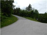 2
2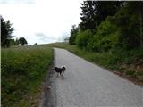 3
3 4
4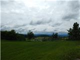 5
5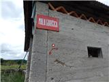 6
6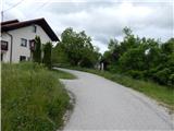 7
7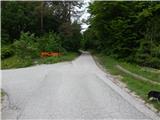 8
8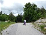 9
9 10
10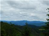 11
11 12
12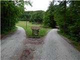 13
13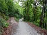 14
14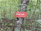 15
15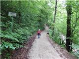 16
16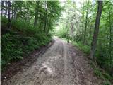 17
17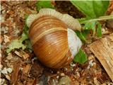 18
18 19
19 20
20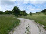 21
21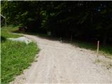 22
22 23
23 24
24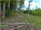 25
25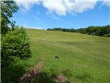 26
26 27
27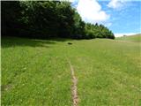 28
28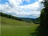 29
29 30
30 31
31 32
32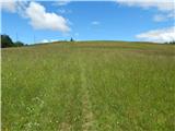 33
33 34
34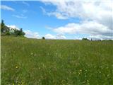 35
35 36
36 37
37
Discussion about the trip Mala Goričica - Obolno
To post a comment you must log in:
If you do not yet have a username, you must first
register.