Male Drage - Okrugljak (via Razdrto)
Starting point: Male Drage (516 m)
| Latitude/Longitude: | 45,46992°N 15,01665°E |
| |
Route name: via Razdrto
Walking time: 2 h 30 min
Difficulty: easy marked way
Elevation gain: 369 m
Elevation difference along the route: 380 m
Map:
Recommended equipment (summer):
Recommended equipment (winter):
Views: 158
 | 1 person like this post |
Access to starting point:
Cross the Petrina border crossing (MP Petrina) into Croatia, where immediately after the border in the town of Brod na Kupi, turn left towards Brod Moravice. The narrower road leads along the Kolpa to the village of Čedanj, after which the road begins to ascend through a small valley, soon making a few hairpin turns and arriving at the Brod Moravice railway station (ŽP Brod Moravice). At the intersection, turn left. The road makes a couple of hairpin turns and we arrive in Brod Moravice, where towards the end of the village we turn left towards Velike and Male Drage. The narrow road leads through the forest. We drive through Velike Drage to the village of Male Drage, where we continue towards Razdrto. Shortly after the village there is a cemetery with parking space. We can also park later along the road to Razdrto.
Route description:
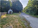
From the starting point, proceed straight along the road and after about 20 minutes walking on the asphalt road arrive in Razdrto. At the beginning of the village is an intersection where the path to Orlove stijene branches left and a little further right to Okrugljak. Head right onto the poorer logging trail, which is otherwise well marked. The path is initially level and even descends slightly a few times. Soon we reach a barely noticeable logging trail fork, the marked path leads right. If we go straight, we soon return to the marked path. Soon we arrive at a better logging trail that turns left and begins to ascend steeply across. After about 10 minutes of steep ascent we arrive at a clearing where the markers direct us right along the logging trail. Across a strip of forest we arrive at a larger clearing where there are some orientation difficulties, so carefully follow the markers. The path heads left along the clearing and crosses logging trails several times, but we always follow the path which in between descends slightly, then begins to ascend across smaller glades. When the path reaches the southern slopes of Okrugljak, a path branches off to the right. Head onto it, which leads us across a meadow into the forest, followed by a somewhat overgrown section of the path. Carefully follow the markers. After about 20 minutes of ascent along an indistinct ridge we arrive at a junction where the direct path joins from the left. Continue right. The path leads through the forest to a small glade, then past boundary stones and a short rocky section leads to the forested summit of Okrugljak.
Description and photos refer to the condition in June 2025.

Along the route: Razdrto (550m)
Photos:
 1
1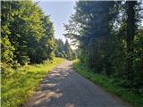 2
2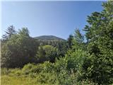 3
3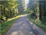 4
4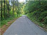 5
5 6
6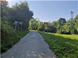 7
7 8
8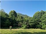 9
9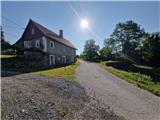 10
10 11
11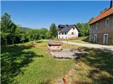 12
12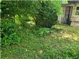 13
13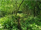 14
14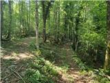 15
15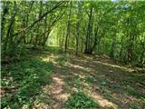 16
16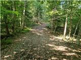 17
17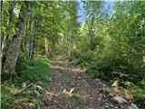 18
18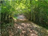 19
19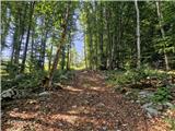 20
20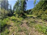 21
21 22
22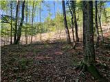 23
23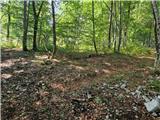 24
24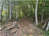 25
25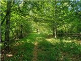 26
26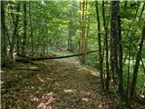 27
27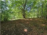 28
28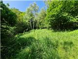 29
29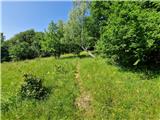 30
30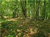 31
31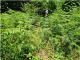 32
32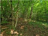 33
33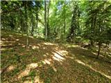 34
34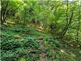 35
35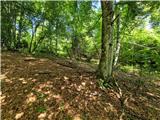 36
36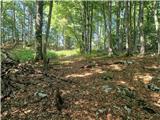 37
37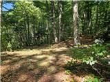 38
38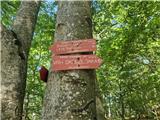 39
39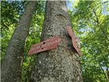 40
40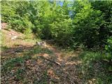 41
41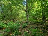 42
42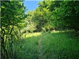 43
43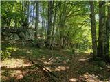 44
44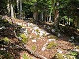 45
45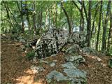 46
46 47
47
Discussion about the trip Male Drage - Okrugljak (via Razdrto)
To post a comment you must log in:
If you do not yet have a username, you must first
register.