Male Drage - Orlove stijene
Starting point: Male Drage (516 m)
| Latitude/Longitude: | 45,46992°N 15,01665°E |
| |
Walking time: 1 h
Difficulty: easy marked way
Elevation gain: 56 m
Elevation difference along the route: 100 m
Map:
Recommended equipment (summer):
Recommended equipment (winter):
Views: 216
 | 1 person like this post |
Access to starting point:
Cross the MP Petrina border crossing into Croatia, where immediately after the border in the place Brod na Kupi we turn left towards Brod Moravice. The narrow road leads along the Kolpa to the place Čedanj, after the mentioned place the road starts ascending the valley, soon making a few hairpin turns and we arrive at the ŽP Brod Moravice. At the intersection we turn left. The road makes a couple of hairpin turns and we arrive in Brod Moravice, where towards the end of the village we turn left towards Velike and Male Drage. The narrow road leads through the forest. We drive through Velike Drage to the village Male Drage, where we continue towards Razdrtem. Shortly after the village there is a cemetery, where there is space for parking. We can also park later along the road towards Razdrtem.
Route description:
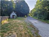
From the starting point, proceed straight along the road and after about 20 minutes of walking on the asphalt road arrive in Razdrto. At the beginning of the village there is an intersection where the path to Orlove stijene branches left and a little further right to Okrugljak. Head left onto the gravel road which leads past houses and a cross into the forest. Initially the path gently descends, then unevenly ascends past small meadows to an intersection. Signs direct us left and soon we arrive at a rough cart track which in a gentle descent crosses a clearing west of the nearby summit Grič 581 m. The cart track crosses a small valley and ascends to the junction for viewpoints. Proceed straight on the path which in 2 minutes past the logbook box brings us to the arranged viewpoint, from where a view opens to the Kolpa and to the opposite side where Kozice stand out.
Description and photos refer to the condition in June 2025.
Along the route: Razdrto (550m)
Photos:
 1
1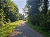 2
2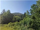 3
3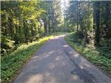 4
4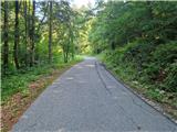 5
5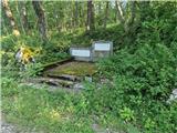 6
6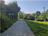 7
7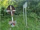 8
8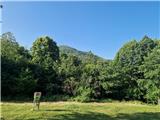 9
9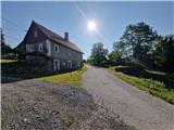 10
10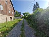 11
11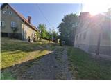 12
12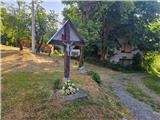 13
13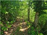 14
14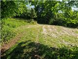 15
15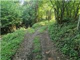 16
16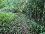 17
17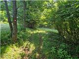 18
18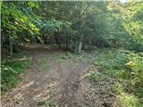 19
19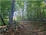 20
20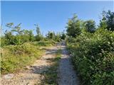 21
21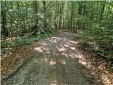 22
22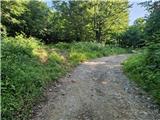 23
23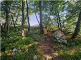 24
24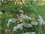 25
25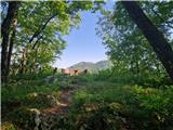 26
26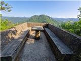 27
27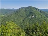 28
28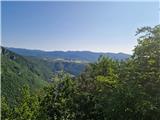 29
29
Discussion about the trip Male Drage - Orlove stijene
To post a comment you must log in:
If you do not yet have a username, you must first
register.