Mali Lipovec - Japetić (via Velika vrata)
Starting point: Mali Lipovec (385 m)
Route name: via Velika vrata
Walking time: 1 h 15 min
Difficulty: easy marked way
Elevation gain: 494 m
Elevation difference along the route: 494 m
Map:
Recommended equipment (summer):
Recommended equipment (winter):
Views: 3.722
 | 2 people like this post |
Access to starting point:
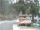
We arrive in Croatia via the Brežice / Bregana border crossing. Drive along the Bregana-Zagreb motorway to the Samobor exit. In the town, follow signs for Rude and Jastrebarsko. When you see the right turnoff for Smerovišće, leave the main road and continue to the village of Mali Lipovec (15 minutes) and the Šoićeva hiža restaurant, where you can park (if the parking lot is full, park further along the road, and it is generally recommended to park on the roadside as the parking lot is intended for restaurant guests).
Route description:
From Šoićeva hiža, continue along the asphalt road through the village of Mali Lipovec. When reaching the upper part of the village, at the bus turning circle, leave the main road and go right on the narrow asphalt road into the village.
After the village, the asphalt ends, and our path begins to climb more steeply across meadows and orchards, then enters the forest. Here we first climb quickly over a few gullies that lead to a wider cart track, which takes us through mixed forest. Here the path levels out and leads to the Bošković farm, the last house in the village. From the farm, return to the asphalt road, but only for a minute, as directly ahead is the Velika vrata pass, where we go right. Here is also a junction where the path from Oštorec and dom Željezničar joins.
We quickly climb above the Velika vrata pass (at one point the forest thins and a view opens to the southwest), our path then climbs quite steeply up the eastern slope of Japetić. Upon reaching the abandoned rest area, the path turns sharply left to the west and becomes very steep. Higher up, the steepness gradually eases, and the path brings us in one bend north into a belt of lower dense forest. The forest soon ends, and the path leads to the access road of the Žitnica mountain hut.
From here, it's two minutes to the hut, where we can refresh or spend the night. From the hut, there is a nice view south, and on the meadow below the hut, there are often quite a few paragliders.
To go to the summit, choose the right path. Walk along the access road for about a minute, then return through the meadow into the forest. A sign at the entrance informs us that we are in a nature reserve area. In this part of the forest, the ground is somewhat marshy, and the path is level. At the forest exit, there is another meadow; at the next forest entrance, a junction where a multitude of paths from other directions of the northern part of Samoborsko gorovje join, as well as the path from Žumberak (Gorjanci). We continue straight, and after a steep climb, we are at the summit, where at our own risk we can climb the viewpoint tower, rewarded with an exceptional view in all directions except east.
In rain, the path is very muddy and slippery.

Photos:
 1
1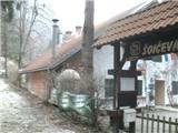 2
2 3
3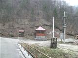 4
4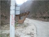 5
5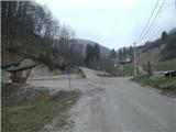 6
6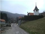 7
7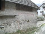 8
8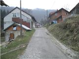 9
9 10
10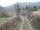 11
11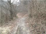 12
12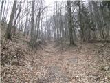 13
13 14
14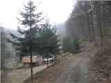 15
15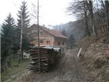 16
16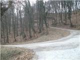 17
17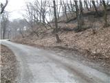 18
18 19
19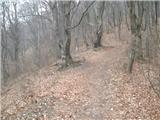 20
20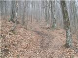 21
21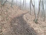 22
22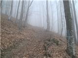 23
23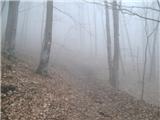 24
24 25
25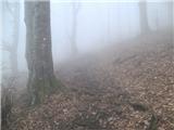 26
26 27
27 28
28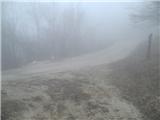 29
29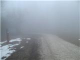 30
30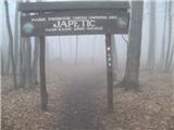 31
31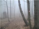 32
32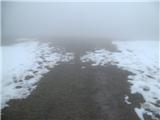 33
33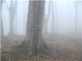 34
34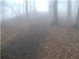 35
35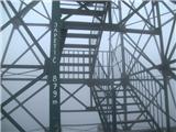 36
36
Discussion about the trip Mali Lipovec - Japetić (via Velika vrata)
|
| pikica921. 12. 2024 16:29:54 |
We started from Smerovišče, then went towards Cerinski Vir (waterfall) passing the hut first. From the waterfall left steeply up (mud) to Japetić summit tower. Then a quick stop at Žitnica hut, nicely kept. Then steep descent to Mali Lipovec and back to the start. Nice circular route, a bit steep with some interesting peaks around so we'll return sometime. The path is very well marked.
|
|
|
To post a comment you must log in:
If you do not yet have a username, you must first
register.