Starting point: Mallnitz (1215 m)
| Latitude/Longitude: | 47,01480°N 13,18530°E |
| |
Walking time: 4 h
Difficulty: easy marked way
Elevation gain: 1505 m
Elevation difference along the route: 1505 m
Map:
Recommended equipment (summer):
Recommended equipment (winter): ice axe, crampons
Views: 4.878
 | 2 people like this post |
Access to starting point:
From Spittal we drive towards Lienz, but only to the settlement Möllbrücke. In the mentioned settlement we notice signs for Mallnitz and the alpine road to Großglockner. We follow this road to the settlement Obervellach, where signs for Mallnitz direct us to the right. Behind the village, the road starts ascending more steeply and after a few kilometers of ascent brings us to the alpine town Mallnitz. Further we drive a few kilometers to the lower cableway station on Ankogel (Ankogelbahn), where we park on a large parking lot.
Route description:
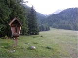
At the end of the parking lot, we will notice signposts on the left side of the road, which direct us to the left onto the ski slope. The path then ascends quite steeply along the ski slope and occasionally also runs through the forest or along the mountain road. If somewhere on the path we stray from the marked path, we can also follow the mountain road or ski slope. After a good hour of walking from the starting point, we arrive at the intermediate cableway station, where there is also the hut Hochalmblick.
A little above the hut are signposts that direct us ahead along the ski slope. The path first runs along grassy slopes on the left side of the cableway, then turns slightly to the right and brings us over some streams to the right side of the cableway. The path then ascends parallel to the cableway towards the saddle Etschlsattel (2546m). A little before the saddle, the path from the hut Mindener Hütte also joins us from the left. On the saddle, we turn left and only a shorter ascent to the upper cableway station follows.
From the upper station, we continue straight in the direction of Hannoverhaus, while to the right leads a direct and a few minutes shorter path towards Ankogel. From the upper cableway station, we have approximately 15 minutes of ascent to the hut.

Photos:
 1
1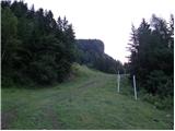 2
2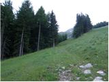 3
3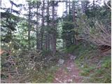 4
4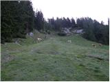 5
5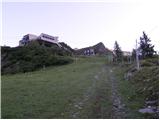 6
6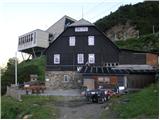 7
7 8
8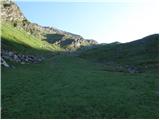 9
9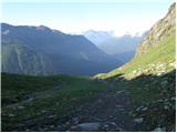 10
10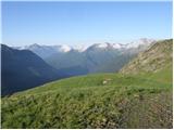 11
11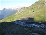 12
12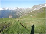 13
13 14
14 15
15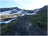 16
16 17
17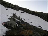 18
18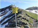 19
19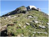 20
20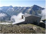 21
21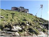 22
22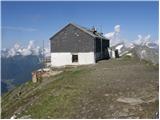 23
23
Discussion about the trip Mallnitz - Hannoverhaus
|
| piotr7. 10. 2018 |
This hut has been new for five years and at a different location, so the content should be updated.
|
|
|
To post a comment you must log in:
If you do not yet have a username, you must first
register.