Mariensee (Biotop) - Marienseer Schwaig (leichterer Anstieg)
Starting point: Mariensee (Biotop) (980 m)
| Latitude/Longitude: | 47,54469°N 15,94841°E |
| |
Route name: leichterer Anstieg
Walking time: 1 h 30 min
Difficulty: easy marked way
Elevation gain: 498 m
Elevation difference along the route: 498 m
Map:
Recommended equipment (summer):
Recommended equipment (winter): ice axe, crampons
Views: 4
 | 0 people like this post |
Access to starting point:
Leave the A2 motorway Graz - Wien at the Aspang Markt exit and follow the road to the mentioned place. When we arrive in the town, follow the signs for the settlement Mariensee, at the end of the town turn left again towards the settlement Mariensee (straight St. Corona am Wechsel). After approximately 8.5 km of further driving we arrive at the center of the settlement Mariensee, but we continue driving. The settlement soon ends, and we continue along the Großer Pestingbach stream to the marked parking lot, where there is a biological toilet.
Route description:
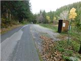
At the end of the parking lot, we turn sharply left from the asphalt road onto a side road, along which there are signs for a forest road and mountain signs for Hochwechsel and Marienseer Schwaig. We continue on the gravel road, where a few minutes higher a path from the lower starting point joins us. We continue towards the nearby house at the end of the road, but before it we turn slightly right onto the marked footpath, which bypasses the house on the right side.
A short traverse ascent to the right follows, and after crossing the pasture fence we arrive at the marked junction where the path splits.
We continue straight on the gentler path (Leichterer Anstieg), while the steep path (Schindlsteig) leads left. In the continuation we ascend transversely to the right and cross the forest road twice, at the third crossing the path turns to the left side. Higher up we cross one of the forest roads again, at an altitude of approximately 1350 meters we join the steep path. A little further on, at an altitude of approximately 1450 meters, the path past the Marienseer Wasserfall waterfall joins us, which separated from ours already at the very starting point.
A few more minutes of ascent through the forest follows, and after crossing the pasture fence we ascend mostly on grassy terrain to the alpine pasture Marienseer Schwaig.
The description refers to the situation in July 2026, the photos are from October 2025 and July 2026.

Photos:
 1
1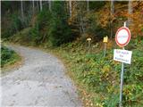 2
2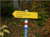 3
3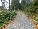 4
4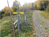 5
5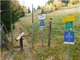 6
6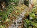 7
7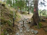 8
8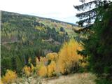 9
9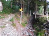 10
10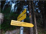 11
11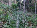 12
12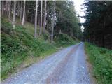 13
13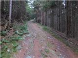 14
14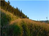 15
15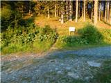 16
16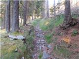 17
17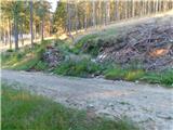 18
18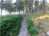 19
19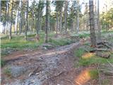 20
20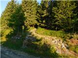 21
21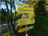 22
22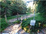 23
23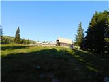 24
24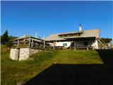 25
25
Discussion about the trip Mariensee (Biotop) - Marienseer Schwaig (leichterer Anstieg)
To post a comment you must log in:
If you do not yet have a username, you must first
register.