Mariensee (Biotop) - Marienseer Wasserfall
Starting point: Mariensee (Biotop) (980 m)
| Latitude/Longitude: | 47,54469°N 15,94841°E |
| |
Walking time: 55 min
Difficulty: easy marked way
Elevation gain: 256 m
Elevation difference along the route: 256 m
Map:
Recommended equipment (summer):
Recommended equipment (winter): ice axe, crampons
Views: 115
 | 1 person like this post |
Access to starting point:
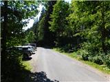
We leave the A2 Graz / Vienna motorway at the Aspang Markt exit and follow the road to the mentioned place. When we arrive in the town, we follow the signs for the settlement Mariensee, at the end of the town we turn left again towards the settlement Mariensee (straight on to St. Corona am Wechsel). After approximately 8.5 km of further driving we reach the centre of the settlement Mariensee, but we continue driving. The settlement soon ends and we continue along the Großer Pestingbach stream to the marked parking area where there is a biological toilet.
Route description:
At the end of the parking area we leave the asphalt road and continue straight along a side gravel road that runs beside the Großer Pestingbach stream. We walk for a few minutes on the poorer road, then turn slightly right onto a footpath that crosses the stream and continues on its right side (viewed in the direction of our walk). Later we return to the left side of the stream and step back onto the poorer road, which we follow only as far as the right-hand bend or the point where the road crosses the stream. Here we head straight onto the marked path that quickly leads us to the viewing platform below the waterfall. We then bypass the waterfall on the left side and, in a short steep ascent, climb to the covered shelter. From there only a few steps separate us from the fenced viewpoint above the waterfall.
Important warning: A precautionary measure is mandatory on the route, as local authorities expressly prohibit crossing the bridge and wooden walkways in the event of storms, thunder or raised water levels (high water) for safety reasons. Before visiting, be sure to check the weather forecast.
Description and photos refer to the situation in July 2026.

Photos:
 1
1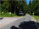 2
2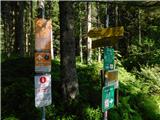 3
3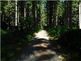 4
4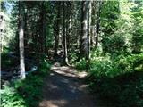 5
5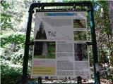 6
6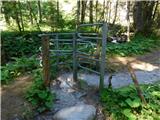 7
7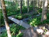 8
8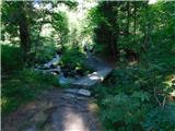 9
9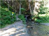 10
10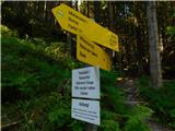 11
11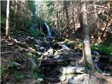 12
12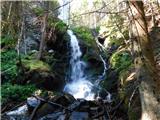 13
13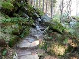 14
14 15
15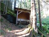 16
16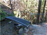 17
17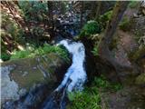 18
18
Discussion about the trip Mariensee (Biotop) - Marienseer Wasserfall
To post a comment you must log in:
If you do not yet have a username, you must first
register.